Browse / Russia / Dagestan / Semender
Semender
Dagestantown
Total population
13,931
Demographic figures from Rosstat. Overview below cites Wikipedia and may reference a different year.
City facts
Overview
Situated in Dagestan, Russia, Semender is a small town. The population stands at approximately 13,931. Coordinates of 42.989°, 47.397° situate Semender in the temperate zone of the northern hemisphere. The location receives about 1,367 kWh/m² of solar irradiance per year and sunshine for roughly 53% of daylight hours. Climatically, locations at this latitude tend to experience four distinct seasons with warm summers and cold winters. Detailed open-data panels follow, covering demographics, climate, geography, wildlife and nearby settlements.
Summary composed automatically from structured open data on this page. See our Terms for details.
History & geography
Geography
Coordinates & boundaries from the US Census TIGER/Line shapefiles.
Climate
Air quality
Walkability
Amenities nearby
Wildlife & biodiversity
Most-observed species
- Eurasian GriffonGyps fulvus (Hablizl, 1783) · Aves504
- Blue Rock-ThrushMonticola solitarius (Linnaeus, 1758) · Aves278
- Crested LarkGalerida cristata (Linnaeus, 1758) · Aves275
- Cinereous VultureAegypius monachus (Linnaeus, 1766) · Aves256
- ChukarAlectoris chukar (J.E.Gray, 1830) · Aves248
- Eurasian MagpiePica pica (Linnaeus, 1758) · Aves244
- RookCorvus frugilegus Linnaeus, 1758 · Aves242
- Hooded CrowCorvus cornix Linnaeus, 1758 · Aves234
Citizen-science & research observations from the Global Biodiversity Information Facility (GBIF).
Earthquake history
Most recent
- M 5.4 — 2025-08-2621 km ENE of Novokayakent, Russia
- M 4.4 — 2025-05-026 km SW of Zubutli-Miatli, Russia
- M 4.3 — 2025-03-114 km SSW of Gunib, Russia
- M 4.1 — 2023-03-305 km SSE of Gagatli, Russia
- M 4.3 — 2022-12-087 km S of Gunib, Russia
- M 5.5 — 2022-12-087 km E of Tsurib, Russia
Events from the USGS Earthquake Catalog (global) (FDSN Event Web Service).
Photos
Sights & places nearby
Notable people from here


People born within ~10 km, from Wikidata (CC0). Click any name for their Wikipedia article.
Nearby places in Dagestan
- Leninkent2.2 mi away · pop. 16,178
- Alburikent3.9 mi away · pop. 12,682
- Kyakhulay4.6 mi away · pop. 7,330
- Makhachkala5.4 mi away · pop. 622,091
- Tarki5.9 mi away · pop. 15,544
- Tyube6.7 mi away · pop. 6,999
- Novy Kyakhulay7.3 mi away · pop. 10,146
- Kaspiysk13.9 mi away · pop. 128,663
- Buynaksk17.9 mi away · pop. 63,888
- Sulak20.4 mi away · pop. 8,660
- Karabudakhkent21.3 mi away · pop. 16,861
- Dubki28.4 mi away · pop. 5,406
Geography & sun
Elevation, sunrise/sunset and daylight from Open-Meteo. Solar climatology from NASA POWER.
Nearby airports
Public attention
Books about this place
Recent natural events nearby
Ground air-quality sensors
Recently spotted species
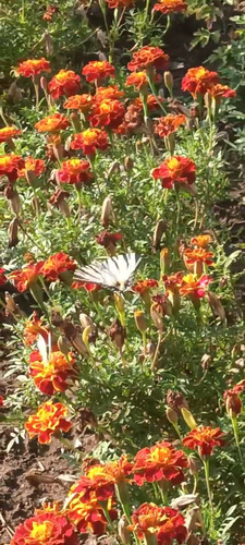
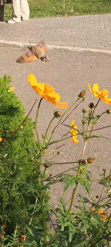
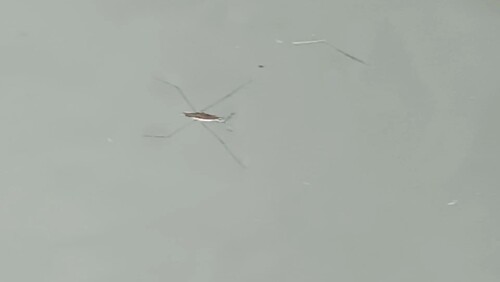
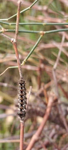
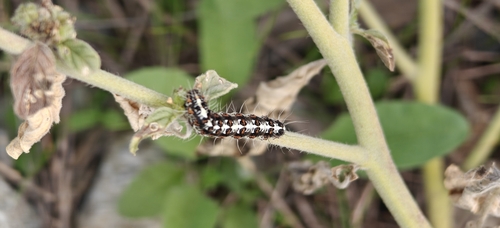
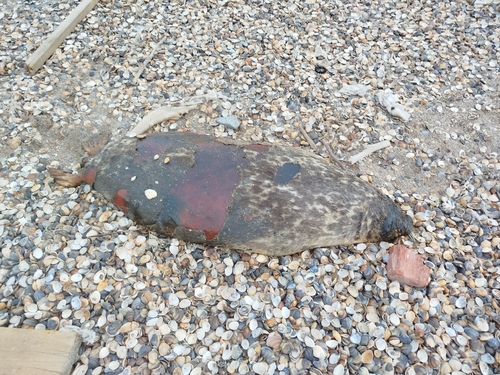
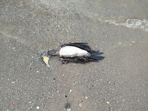
Research-grade observations from iNaturalist (within ~15 mi).
Events
Gallery
Sources
- • Wikidata
- • USGS Earthquake Catalog (global feed)
- • GBIF (Global Biodiversity Information Facility)
- • iNaturalist
- • Open-Meteo / sunrise-sunset.org