Browse / Rwanda / Northern / Gatuna
Gatuna
Northerntown
Demographic figures from NISR Rwanda. Overview below cites Wikipedia and may reference a different year.
City facts
Facts from Wikidata (CC0).
Overview
Gatuna is a small settlement in Cyumba Sector in northern Rwanda. It is located at the northern border adjacent to the town of Katuna, in neighboring Uganda.
Read more on WikipediaHistory & geography
Geography
Coordinates & boundaries from the US Census TIGER/Line shapefiles.
Climate
Air quality
Walkability
Amenities nearby
Wildlife & biodiversity
Most-observed species
- Gray Crowned-CraneBalearica regulorum (E.T.Bennett, 1834) · Aves233
- Carruthers's CisticolaCisticola carruthersi Ogilvie-Grant, 1909 · Aves212
- Hadada IbisBostrychia hagedash (Latham, 1790) · Aves174
- Pied CrowCorvus albus Statius Muller, 1776 · Aves159
- Tropical BoubouLaniarius major (Hartlaub, 1848) · Aves139
- Black KiteMilvus migrans (Boddaert, 1783) · Aves137
- Bronze SunbirdNectarinia kilimensis Shelley, 1885 · Aves137
- Common BulbulPycnonotus barbatus (Desfontaines, 1789) · Aves130
Citizen-science & research observations from the Global Biodiversity Information Facility (GBIF).
Earthquake history
Most recent
- M 4.6 — 2023-06-1546 km WSW of Ntungamo, Uganda
- M 4.5 — 2021-05-2714 km E of Gisenyi, Rwanda
- M 4.3 — 2021-05-2717 km ENE of Gisenyi, Rwanda
- M 4.5 — 2021-05-2617 km SSE of Gisenyi, Rwanda
- M 4.5 — 2021-05-2611 km SE of Gisenyi, Rwanda
- M 4.5 — 2021-05-264 km S of Gisenyi, Rwanda
Events from the USGS Earthquake Catalog (global) (FDSN Event Web Service).
Photos
Sights & places nearby
Notable people from here
Nearby places in Northern
Geography & sun
Elevation, sunrise/sunset and daylight from Open-Meteo. Solar climatology from NASA POWER.
Nearby airports
Public attention
Pageview totals from the Wikimedia Pageviews API.
Books about this place
Recent natural events nearby
Ground air-quality sensors
Recently spotted species
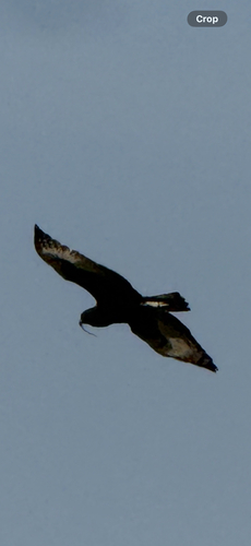
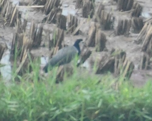
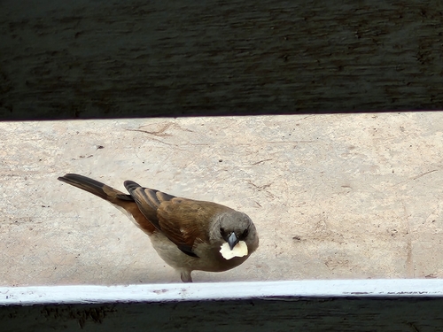
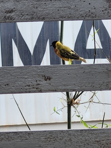
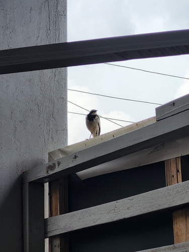
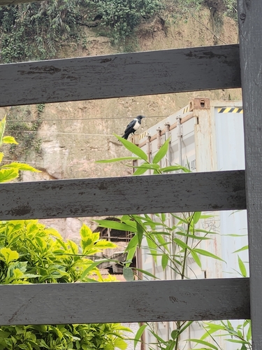

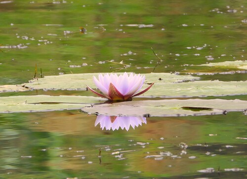
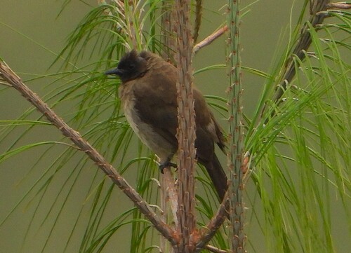
Research-grade observations from iNaturalist (within ~15 mi).
Events
Gallery
Sources
- • Wikipedia
- • Wikidata
- • USGS Earthquake Catalog (global feed)
- • GBIF (Global Biodiversity Information Facility)
- • iNaturalist
- • Open-Meteo / sunrise-sunset.org
- • Wikipedia Pageviews API