Browse / Rwanda / Northern / Kadobogo
Kadobogo
Northerntown
Demographic figures from NISR Rwanda. Overview below cites Wikipedia and may reference a different year.
City facts
Overview
Kadobogo is a town located in Northern, Rwanda. Geographically it lies in the southern hemisphere at a equatorial latitude (-1.662°, 30.097°). Up-to-date population figures for this locality are not available in the open datasets we monitor. Solar-resource estimates put the area at about 1,815 kWh/m² of solar irradiance per year with sunshine for roughly 71% of daylight hours. Climatically, locations at this latitude tend to experience hot and humid year-round with little seasonal temperature variation. Further detail — demographics, climate, nearby amenities and natural-hazard data — is compiled below from public open-data sources.
Summary composed automatically from structured open data on this page. See our Terms for details.
History & geography
Geography
Coordinates & boundaries from the US Census TIGER/Line shapefiles.
Climate
Air quality
Walkability
Amenities nearby
Wildlife & biodiversity
Most-observed species
- Variable SunbirdCinnyris venustus (Shaw, 1799) · Aves60
- Augur BuzzardButeo augur (Ruppell, 1836) · Aves48
- Hadada IbisBostrychia hagedash (Latham, 1790) · Aves44
- Pied CrowCorvus albus Statius Muller, 1776 · Aves41
- African StonechatSaxicola torquatus (Linnaeus, 1766) · Aves38
- Bronze SunbirdNectarinia kilimensis Shelley, 1885 · Aves38
- Gray Crowned-CraneBalearica regulorum (E.T.Bennett, 1834) · Aves36
- Yellow-billed DuckAnas undulata C.F.Dubois, 1838 · Aves35
Citizen-science & research observations from the Global Biodiversity Information Facility (GBIF).
Earthquake history
Most recent
- M 4.5 — 2021-05-2714 km E of Gisenyi, Rwanda
- M 4.3 — 2021-05-2717 km ENE of Gisenyi, Rwanda
- M 4.5 — 2021-05-2617 km SSE of Gisenyi, Rwanda
- M 4.5 — 2021-05-2611 km SE of Gisenyi, Rwanda
- M 4.5 — 2021-05-264 km S of Gisenyi, Rwanda
- M 4.5 — 2021-05-269 km SE of Gisenyi, Rwanda
Events from the USGS Earthquake Catalog (global) (FDSN Event Web Service).
Photos
Sights & places nearby
Notable people from here

People born within ~10 km, from Wikidata (CC0). Click any name for their Wikipedia article.
Nearby places in Northern
Geography & sun
Elevation, sunrise/sunset and daylight from Open-Meteo. Solar climatology from NASA POWER.
Nearby airports
Public attention
Books about this place
Recent natural events nearby
Ground air-quality sensors
Recently spotted species
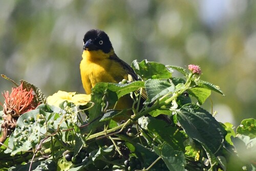
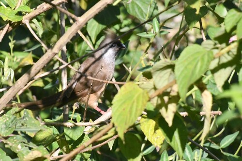
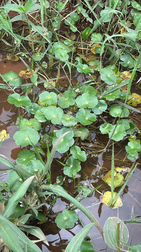
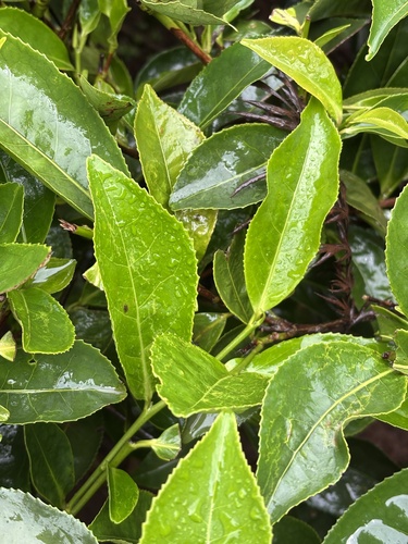
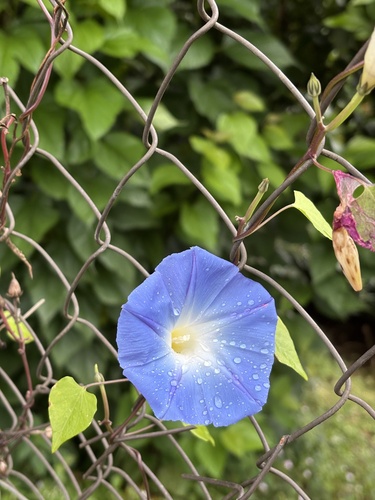
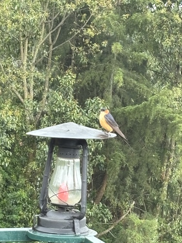
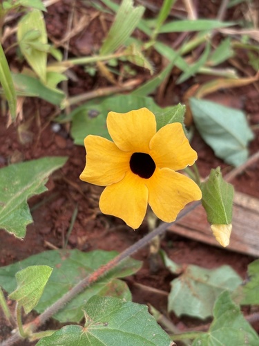
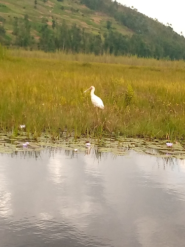
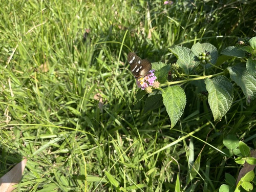
Research-grade observations from iNaturalist (within ~15 mi).
Events
Gallery
Sources
- • Wikidata
- • USGS Earthquake Catalog (global feed)
- • GBIF (Global Biodiversity Information Facility)
- • iNaturalist
- • Open-Meteo / sunrise-sunset.org