Browse / Rwanda / Kigali / Kigali
Kigali
Kigalicity

Kigali
Total population
1,745,555
Founded
1907
Demographic figures from NISR Rwanda. Overview below cites Wikipedia and may reference a different year.
City facts
Sister cities
Facts from Wikidata (CC0).
Overview
Kigali, officially the City of Kigali also known as Kigali City, is the capital, largest city, and a province-level administrative unit of Rwanda. It is located near the country's geographic centre, in a landscape of rolling hills marked by valleys and ridges connected by steep slopes. As Rwanda's primate city, Kigali is a relatively young urban centre. Founded in 1907 as a German administrative outpost, it served as a minor administrative centre until it became the national capital at independence in 1962, shifting the main administrative focus away from Huye.
Read more on WikipediaHistory & geography
History
The earliest inhabitants of what is now Rwanda were the Twa, a group of aboriginal pygmy hunter-gatherers who settled the area between 8000 and 3000 BC and remain in the country today. They were followed between 700 BC and AD 1500 by a number of Bantu groups, including the Hutu and Tutsi, who began clearing forests for agriculture. According to oral history, the Kingdom of Rwanda was founded in the 14th century on the shores of Lake Muhazi, around east of modern Kigali. The early kingdom included Kigali but it was a small state at this point in its history with larger and more powerful neighbours, Bugesera and Gisaka. A member of the Gisaka dynasty killed Rwanda's king Ruganzu I Bwimba in the 16th century, but Ruganzu's son Cyilima I Rugwe fought back with help from Bugesera and was able to expand Rwanda's territory. In the late 16th or early 17th century, the kingdom of Rwanda was invaded from the north by the Banyoro of modern-day Uganda. The king was forced to flee westward, leaving Kigali and eastern Rwanda in the hands of Bugesera and Gisaka. The formation of a new Rwandan dynasty in the 17th century by the mwami (king), Ruganzu II Ndoli, followed by eastward invasions and the conquest of Bugesera, marked the beginning of the Rwandan kingdom's dominance in the area. The capital of the kingdom was at Nyanza, in the south of the country. The founding of Kigali is generally dated to 1907, when German administrator and explorer Richard Kandt was appointed as the first resident of Rwanda, and established the city as the headquarters. Rwanda and neighbouring Burundi had been assigned to Germany by the Berlin Conference of 1884, forming part of German East Africa, and Germany established a presence in the country in 1897 with the formation of an…
Geography
Kigali is located in the centre of Rwanda, at 1°57′S 30°4′E. Like the rest of Rwanda it uses Central Africa Time, and is two hours ahead of Coordinated Universal Time (UTC+02:00) throughout the year. The City of Kigali is a province-level administrative unit, one of five top-level subdivisions established in 2006 alongside the country's four provinces (Northern, Southern, Eastern, and Western) as part of a restructuring of local government. The city has boundaries with the Northern, Eastern and Southern provinces. It is divided into three administrative districts—Nyarugenge in the south west, Kicukiro in the south east, and Gasabo, which occupies the northern half of the city's territory. The built-up urban area covers about 70 per cent of the municipal boundaries. Kigali lies in a region of rolling hills, with the built-up area of the city spread across numerous ridges and valleys joined by steep slopes, resulting in significant variation in elevation across the city. The city has an average elevation of above sea level, with the lowest areas, in the valleys, lying at around . Several hills within the city, such as Rebero in the south, rise well above this average. The city is also flanked by higher peaks, including Mount Kigali, which reaches , and Mount Jali to its north, which rises to . The Nyabarongo River, part of the upper headwaters of the Nile, forms the western and southern borders of the administrative city of Kigali, although this river lies somewhat outside the built-up urban area. The largest river running through the city is the Nyabugogo River, which flows south from Lake Muhazi before flowing west between Mount Kigali and Mount Jali, and draining into the Nyabarongo. The Nyabugogo is fed by various smaller streams throughout the city, and its…
Excerpted from the corresponding Wikipedia article (CC BY-SA).
Geography
Coordinates & boundaries from the US Census TIGER/Line shapefiles.
Climate
Air quality
Walkability
Amenities nearby
Wildlife & biodiversity
Most-observed species
- Black KiteMilvus migrans (Boddaert, 1783) · Aves2,683
- Common BulbulPycnonotus barbatus (Desfontaines, 1789) · Aves2,358
- Speckled MousebirdColius striatus J.F.Gmelin, 1789 · Aves2,161
- White-browed Robin-ChatCossypha heuglini Hartlaub, 1866 · Aves2,098
- Variable SunbirdCinnyris venustus (Shaw, 1799) · Aves1,728
- Red-eyed DoveStreptopelia semitorquata (Rüppell, 1837) · Aves1,555
- Hadada IbisBostrychia hagedash (Latham, 1790) · Aves1,539
- African Paradise-FlycatcherTerpsiphone viridis (Statius Muller, 1776) · Aves1,453
Citizen-science & research observations from the Global Biodiversity Information Facility (GBIF).
Earthquake history
Most recent
- M 4.5 — 2023-09-2416 km NNW of Nzega, Rwanda
- M 4.5 — 2021-05-2714 km E of Gisenyi, Rwanda
- M 4.3 — 2021-05-2717 km ENE of Gisenyi, Rwanda
- M 4.5 — 2021-05-2617 km SSE of Gisenyi, Rwanda
- M 4.5 — 2021-05-2611 km SE of Gisenyi, Rwanda
- M 4.5 — 2021-05-264 km S of Gisenyi, Rwanda
Events from the USGS Earthquake Catalog (global) (FDSN Event Web Service).
Photos
Sights & places nearby
Notable people from here


People born within ~10 km, from Wikidata (CC0). Click any name for their Wikipedia article.
Nearby places in Kigali
Geography & sun
Elevation, sunrise/sunset and daylight from Open-Meteo. Solar climatology from NASA POWER.
Nearby airports
Public attention
Pageview totals from the Wikimedia Pageviews API.
Books about Kigali




Search results from Open Library.
Recent natural events nearby
Ground air-quality sensors
Recently spotted species
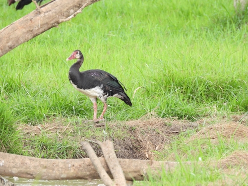
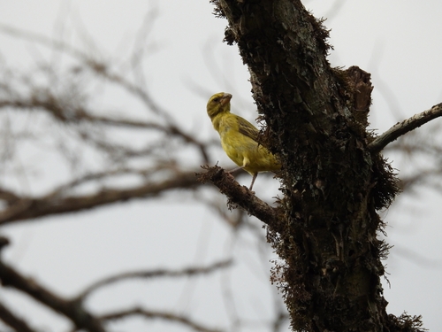
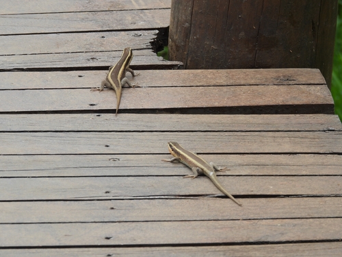
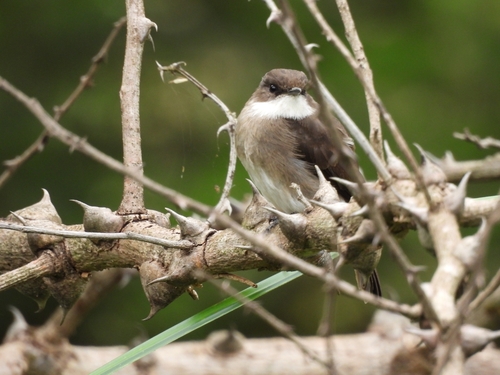
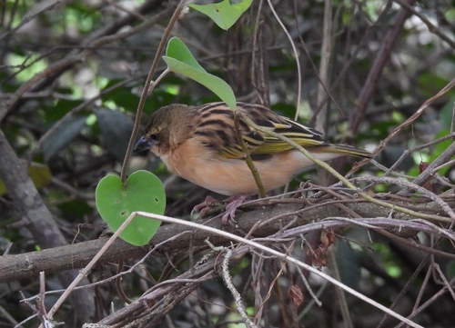
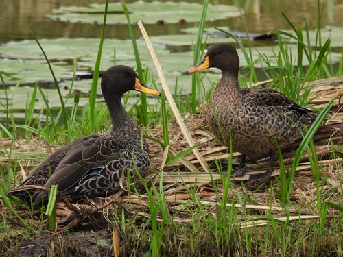
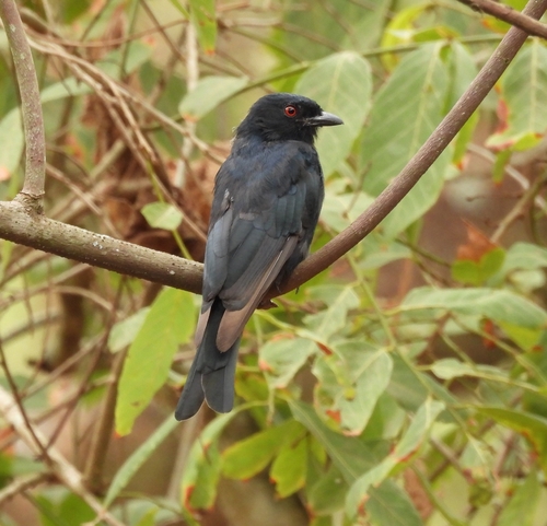
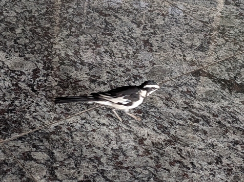

Research-grade observations from iNaturalist (within ~15 mi).
Events
Gallery
Geotagged photos within ~6 miles of Kigali, from Wikimedia Commons contributors.
 0.1 mi
 0.1 mi
 0.1 mi
 0.1 mi
 0.2 mi
 0.4 mi
 0.5 mi
 0.5 mi
 0.6 mi
 0.6 mi
 0.7 mi
 0.7 mi
 0.7 mi
 0.7 mi
 0.7 mi
 0.7 mi
 0.7 mi
 0.7 mi
 0.7 mi
 0.7 mi
 0.7 mi
 0.7 mi
 0.7 mi
 0.7 mi
Photos via Wikimedia Commons — see each image page for license & attribution.
Sources
- • Wikipedia
- • Wikimedia Commons
- • Wikidata
- • USGS Earthquake Catalog (global feed)
- • GBIF (Global Biodiversity Information Facility)
- • iNaturalist
- • Open-Meteo / sunrise-sunset.org
- • Wikipedia Pageviews API
- • Open Library