Browse / Rwanda / Southern / Muhanga
Muhanga
Southerncity

Featured view
Muhanga
Elevation5945 m
Coordinates-2.08°, 29.75°
Demographic figures from NISR Rwanda. Overview below cites Wikipedia and may reference a different year.
Loading additional data from public sources…0 / 11
CensusWikipediaWeatherPlacesPeopleEnvironmentHealth & SchoolsRelatedGeography & CultureLive MonitoringEvents & Gallery
0% completeCity facts
Elevation
5945 m
Facts from Wikidata (CC0).
Overview
Muhanga is a city in Rwanda, in the Muhanga District, in Southern Province. The city is situated 5,945 feet (1,812 m) above sea level.
Read more on WikipediaHistory & geography
Geography
Latitude
-2.0845
Longitude
29.7529
Water area
—
Coordinates & boundaries from the US Census TIGER/Line shapefiles.
Climate
Air quality
Walkability
Amenities nearby
Wildlife & biodiversity
Earthquake history
Photos
Sights & places nearby
Notable people from here
D
Dominique Mbonyumutwa
Rwandan president (1921-1986)

Esther Mujawayo
Rwandan sociologist and psychotherapist
F
Froduald Karamira
Rwandan politician executed (1947-1998)

Smaragde Mbonyintege
Rwandan Catholic bishop (born 1947)
C
Callixte Nzabonimana
Rwandan politician
F
Fred Rwigyema
Founding member of the Rwandan Patriotic Front
E
Emmanuel Rukundo
Rwandan genocide perpetrator

Godeliève Mukasarasi
Rwandan social worker, founder and coordinator of SEVOTA
I
Idelphonse Hategekimana
Rwandan soldier
P
Protais Mpiranya
Rwandan soldier
E
Emile Bintunimana
Rwandese cyclist

Monique Nsanzabaganwa
Rwandan economist

Zura Karuhimbi
Rwandan woman who saved over 100 people from being killed by Hutu militias
M
Mutsinzi Ange Jimmy
Rwandan footballer

Ginette Vagenheim
French latinist (1961-)
P
Papias Musengamana
Rwandan Roman Catholic bishop
People born within ~10 km, from Wikidata (CC0). Click any name for their Wikipedia article.
Nearby places in Southern
Geography & sun
Avg solar (kWh/m²/day)
5.05
Annual solar (kWh/m²)
1,842
Elevation, sunrise/sunset and daylight from Open-Meteo. Solar climatology from NASA POWER.
Nearby airports
Public attention
Wikipedia views (last 30 days)
337
Avg daily Wikipedia views
11
Attention level
Obscure
Pageview totals from the Wikimedia Pageviews API.
Books about this place
Recent natural events nearby
Ground air-quality sensors
Recently spotted species
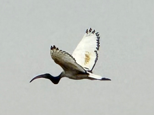
African Sacred Ibis
Threskiornis aethiopicus
Seen 2025-07-05
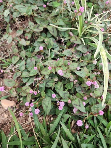
pink knotweed
Persicaria capitata
Seen 2025-06-15
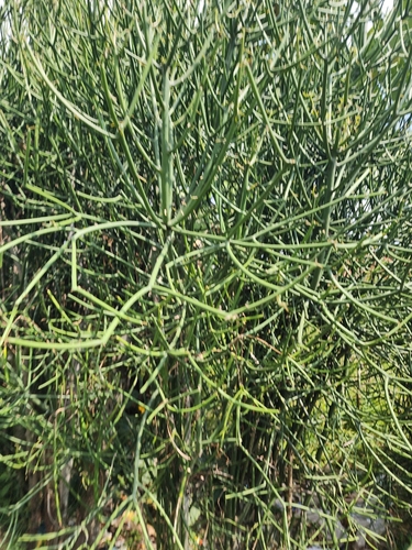
Fire Stick
Euphorbia tirucalli
Seen 2025-06-15
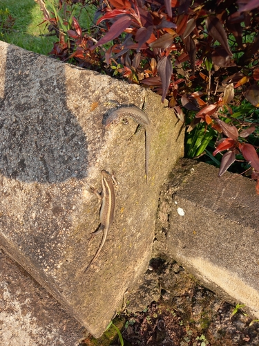
African Striped Skink
Trachylepis striata
Seen 2025-05-24
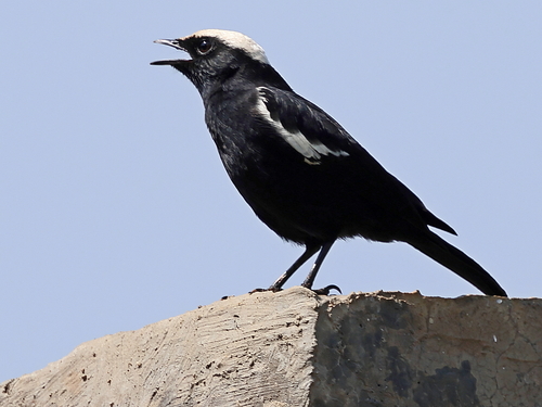
Ruaha Chat
Myrmecocichla arnotti collaris
Seen 2025-01-22
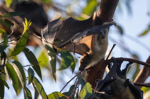
Straw-coloured Fruit Bat
Eidolon helvum
Seen 2024-10-28
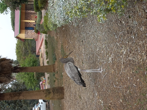
Yellow-billed Stork
Mycteria ibis
Seen 2024-08-24
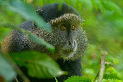
Golden Monkey
Cercopithecus mitis kandti
Seen 2023-07-25
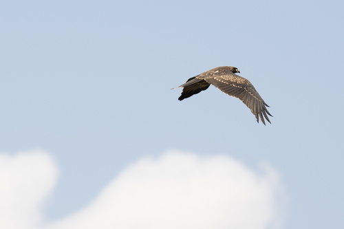
Yellow-billed Kite
Milvus migrans parasitus
Seen 2023-07-13
Research-grade observations from iNaturalist (within ~15 mi).
Events
Gallery
Sources
- • Wikipedia
- • Wikidata
- • iNaturalist
- • Open-Meteo / sunrise-sunset.org
- • Wikipedia Pageviews API