Browse / Rwanda / Eastern / Nyabagendwa
Nyabagendwa
Easternvillage
Demographic figures from NISR Rwanda. Overview below cites Wikipedia and may reference a different year.
City facts
Overview
As a village in Eastern, Rwanda, Nyabagendwa occupies its own corner of the country. No reliable population estimate is published for this entry in the open data we rely on. Geographically it lies in the southern hemisphere at a equatorial latitude (-2.192°, 30.199°). Solar-resource estimates put the area at about 1,864 kWh/m² of solar irradiance per year with sunshine for roughly 73% of daylight hours. The latitude suggests hot and humid year-round with little seasonal temperature variation. Further detail — demographics, climate, nearby amenities and natural-hazard data — is compiled below from public open-data sources.
Summary composed automatically from structured open data on this page. See our Terms for details.
History & geography
Geography
Coordinates & boundaries from the US Census TIGER/Line shapefiles.
Climate
Air quality
Walkability
Amenities nearby
Wildlife & biodiversity
Most-observed species
- African JacanaActophilornis africanus (J.F.Gmelin, 1789) · Aves247
- Red-eyed DoveStreptopelia semitorquata (Rüppell, 1837) · Aves243
- Malachite KingfisherCorythornis cristatus (Pallas, 1764) · Aves235
- Black KiteMilvus migrans (Boddaert, 1783) · Aves228
- Pied KingfisherCeryle rudis (Linnaeus, 1758) · Aves225
- Common BulbulPycnonotus barbatus (Desfontaines, 1789) · Aves221
- White-faced Whistling-DuckDendrocygna viduata (Linnaeus, 1766) · Aves214
- Swamp FlycatcherMuscicapa aquatica Heuglin, 1864 · Aves200
Citizen-science & research observations from the Global Biodiversity Information Facility (GBIF).
Earthquake history
Most recent
- M 4.5 — 2023-09-2416 km NNW of Nzega, Rwanda
- M 4.2 — 2021-05-2628 km ESE of Gisenyi, Rwanda
- M 4.3 — 2021-05-2324 km SE of Gisenyi, Rwanda
- M 4.5 — 2021-05-2318 km SE of Gisenyi, Rwanda
- M 4.2 — 2021-05-2319 km NW of Gitarama, Rwanda
- M 4 — 2009-03-254 km WNW of Nzega, Rwanda
Events from the USGS Earthquake Catalog (global) (FDSN Event Web Service).
Photos
Sights & places nearby
Notable people from here


People born within ~10 km, from Wikidata (CC0). Click any name for their Wikipedia article.
Nearby places in Eastern
Geography & sun
Elevation, sunrise/sunset and daylight from Open-Meteo. Solar climatology from NASA POWER.
Nearby airports
Public attention
Books about this place
Recent natural events nearby
Ground air-quality sensors
Recently spotted species
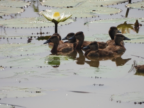
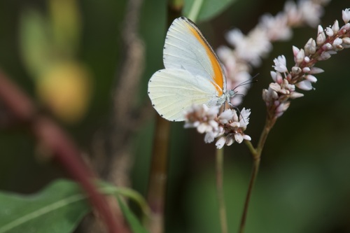
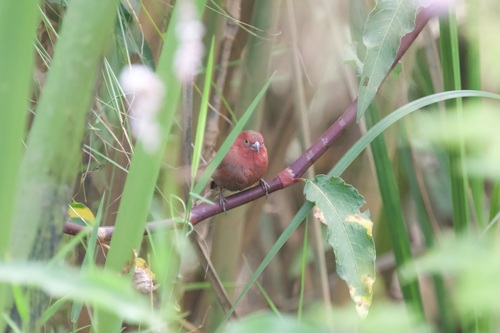
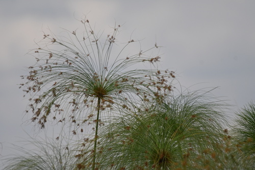
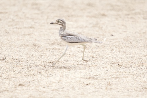
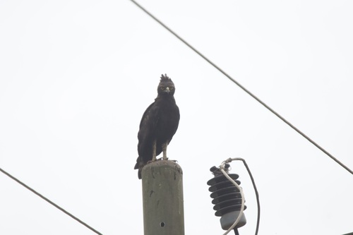
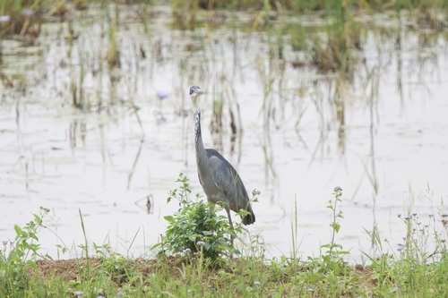
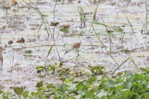
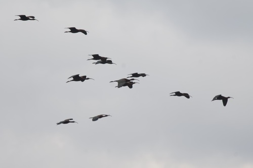
Research-grade observations from iNaturalist (within ~15 mi).
Events
Gallery
Sources
- • Wikidata
- • USGS Earthquake Catalog (global feed)
- • GBIF (Global Biodiversity Information Facility)
- • iNaturalist
- • Open-Meteo / sunrise-sunset.org