Browse / Rwanda / Southern / Nyaruguru
Nyaruguru
Southernvillage
Demographic figures from NISR Rwanda. Overview below cites Wikipedia and may reference a different year.
City facts
Overview
Within Southern, Rwanda, Nyaruguru stands as a village. On the world map it falls within the Eastern Hemisphere, specifically at -2.714°, 29.540°. Detailed population figures are not currently catalogued in the open data sources we track. Its latitude implies a climate characterised by hot and humid year-round with little seasonal temperature variation. Continue scrolling for population, climate, environmental and points-of-interest data drawn from public sources.
Summary composed automatically from structured open data on this page. See our Terms for details.
History & geography
Geography
Coordinates & boundaries from the US Census TIGER/Line shapefiles.
Climate
Air quality
Walkability
Amenities nearby
Wildlife & biodiversity
Most-observed species
- L'Hoest's MonkeyAllochrocebus lhoesti (Sclater, 1899) · Mammalia4
- White-eyed Slaty FlycatcherDioptrornis fischeri Reichenow, 1884 · Aves3
- Mountain IlladopsisIlladopsis pyrrhoptera (Reichenow & Neumann, 1895) · Aves3
- Red-throated AletheChamaetylas poliophrys (Sharpe, 1902) · Aves3
- domestic goatCapra hircus Linnaeus, 1758 · Mammalia2
- Yellow-rumped TinkerbirdPogoniulus bilineatus (Sundevall, 1850) · Aves2
- Gray CuckooshrikeCoracina caesia (Lichtenstein, 1823) · Aves2
- Black SawwingPsalidoprocne pristoptera (Rüppell, 1840) · Aves2
Citizen-science & research observations from the Global Biodiversity Information Facility (GBIF).
Earthquake history
Most recent
- M 4.7 — 2025-12-0832 km SSW of Kabare, Democratic Republic of the Congo
- M 4.6 — 2025-11-2423 km SW of Kabare, Democratic Republic of the Congo
- M 4.4 — 2025-11-0110 km ESE of Cyangugu, Rwanda
- M 4.3 — 2025-04-0527 km W of Kibuye, Rwanda
- M 4.5 — 2025-01-0419 km W of Bubanza, Burundi
- M 4.5 — 2023-09-2416 km NNW of Nzega, Rwanda
Events from the USGS Earthquake Catalog (global) (FDSN Event Web Service).
Photos
Sights & places nearby
Notable people from here


People born within ~10 km, from Wikidata (CC0). Click any name for their Wikipedia article.
Nearby places in Southern
Geography & sun
Nearby airports
Public attention
Books about this place
Recent natural events nearby
Ground air-quality sensors
Recently spotted species
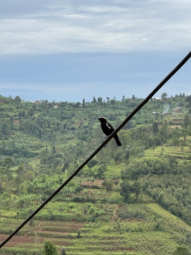
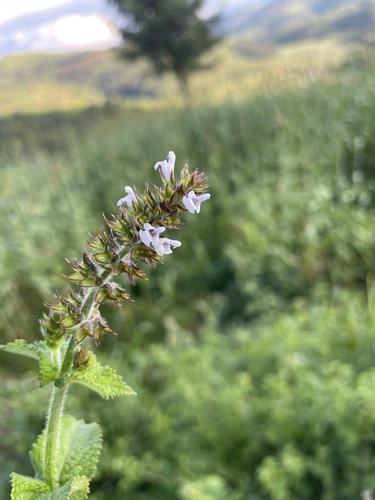
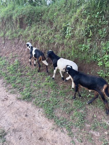
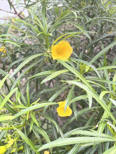
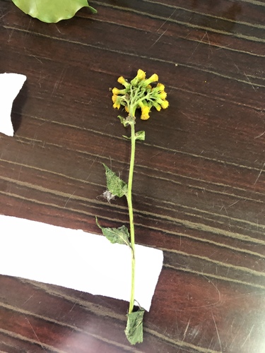
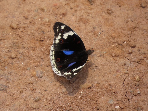
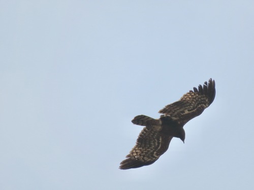
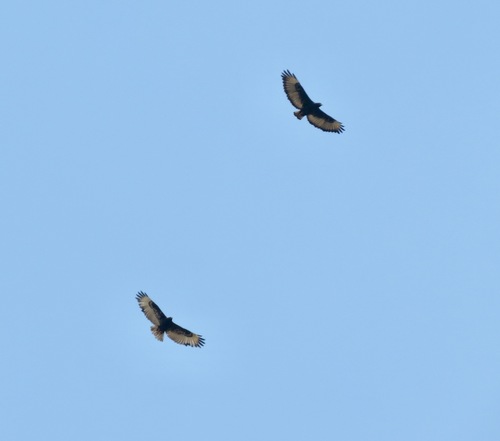
Research-grade observations from iNaturalist (within ~15 mi).
Events
Gallery
Sources
- • Wikidata
- • USGS Earthquake Catalog (global feed)
- • GBIF (Global Biodiversity Information Facility)
- • iNaturalist