Browse / Saudi Arabia / 'Asir / رشاة
رشاة
'Asirvillage
Air quality index
Demographic figures from General Authority for Statistics (Saudi Arabia). Overview below cites Wikipedia and may reference a different year.
City facts
Overview
رشاة is a village that lies in 'Asir, Saudi Arabia. On the world map it falls within the Eastern Hemisphere, specifically at 18.974°, 41.557°. Detailed population figures are not currently catalogued in the open data sources we track. Open solar datasets indicate about 2,221 kWh/m² of solar irradiance per year, combined with sunshine for roughly 87% of daylight hours. Climatically, locations at this latitude tend to experience warm temperatures throughout the year with pronounced wet and dry seasons. Continue scrolling for population, climate, environmental and points-of-interest data drawn from public sources.
Summary composed automatically from structured open data on this page. See our Terms for details.
History & geography
Geography
Coordinates & boundaries from the US Census TIGER/Line shapefiles.
Climate
Air quality
Current readings from Open-Meteo Air Quality API (Copernicus CAMS European reanalysis).
Walkability
Amenities nearby
Wildlife & biodiversity
Most-observed species
- Leiurus haenggii Lowe, Yagmur & Kovarik, 2014Leiurus haenggii Lowe, Yagmur & Kovarik, 2014 · Arachnida5
- White-spectacled BulbulPycnonotus xanthopygos (Hemprich & Ehrenberg, 1833) · Aves2
- Rüppell's WeaverPloceus galbula Rüppell, 1840 · Aves2
- Hamadryas baboonPapio hamadryas (Linnaeus, 1758) · Mammalia2
- Eurasian Collared-DoveStreptopelia decaocto (Frivaldszky, 1838) · Aves1
Citizen-science & research observations from the Global Biodiversity Information Facility (GBIF).
Earthquake history
Events from the USGS Earthquake Catalog (global) (FDSN Event Web Service).
Photos
Sights & places nearby
Notable people from here
Nearby places in 'Asir
Geography & sun
Elevation, sunrise/sunset and daylight from Open-Meteo. Solar climatology from NASA POWER.
Nearby airports
Public attention
Books about this place
Recent natural events nearby
Ground air-quality sensors
Recently spotted species
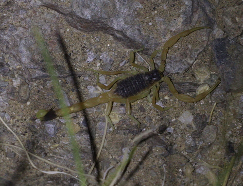
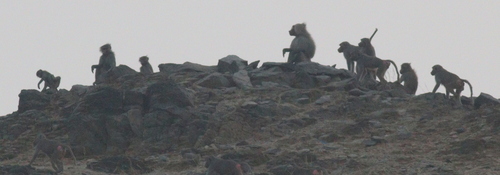
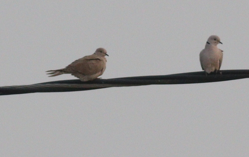
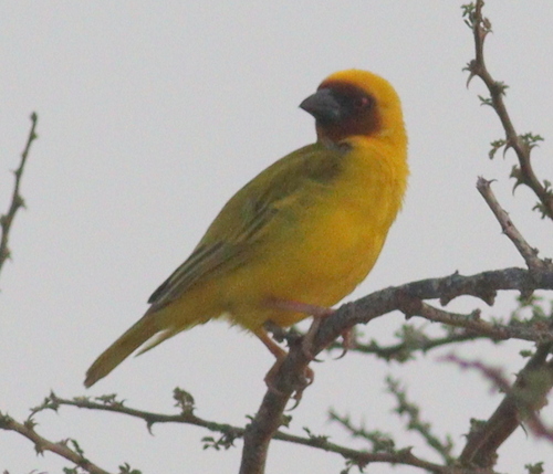
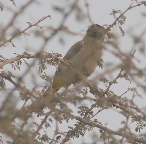
Research-grade observations from iNaturalist (within ~15 mi).
Events
Gallery
Sources
- • Wikidata
- • Open-Meteo Air Quality (CAMS)
- • USGS Earthquake Catalog (global feed)
- • GBIF (Global Biodiversity Information Facility)
- • iNaturalist
- • Open-Elevation
- • Open-Meteo / sunrise-sunset.org