Browse / Saudi Arabia / Tabuk / Al-Bad'
Al-Bad'
Tabuktown

Al-Bad'
Total population
12,946
Demographic figures from General Authority for Statistics (Saudi Arabia). Overview below cites Wikipedia and may reference a different year.
City facts
Overview
Al-Badʿ is a city and governorate in the Tabuk Province of Saudi Arabia. It is part of the Hejaz region and historically part of southern Midian. The governorate lies near the coast of the Gulf of Aqaba, and its coastal areas are known for their natural coral reef formations.
Read more on WikipediaHistory & geography
History
Al-Bad' was one of the largest Nabataean cities, The Nabataeans very probably settled on a trade route that already existed in the Iron Age, lithic tools was found to be contemporary Neolithic productions a hiatus followed the period, until the Late Bronze Age/Iron Age, the permanence of settlement in the oasis lasted after the 1st century. rock-cut facades on coarse-grained sandstone are found in the area known as Mughayr Shu‘ayb.
Geography
To the east of the governorate lie the Sarawat Mountains, forming the northern end of the Hejaz Mountains. The area is noted for Neolithic petroglyphs carved into the arid volcanic rock. Northeast of the governorate is Jabal al-Lawz (), which, at 2,500 meters, is among the highest peaks in Saudi Arabia. South of Jabal al-Lawz is the 2,300-meter Jabal Maqla, a volcanic peak capped with black basalt. The surrounding volcanic region consists largely of granite, with sparse grassland vegetation and occasional trees.
Excerpted from the corresponding Wikipedia article (CC BY-SA).
Geography
Coordinates & boundaries from the US Census TIGER/Line shapefiles.
Climate
Air quality
Walkability
Amenities nearby
Wildlife & biodiversity
Earthquake history
Photos
Sights & places nearby
Notable people from here

People born within ~10 km, from Wikidata (CC0). Click any name for their Wikipedia article.
Geography & sun
Elevation, sunrise/sunset and daylight from Open-Meteo. Solar climatology from NASA POWER.
Nearby airports
Public attention
Pageview totals from the Wikimedia Pageviews API.
Books about this place
Recent natural events nearby
Ground air-quality sensors
Recently spotted species
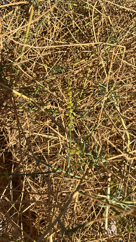
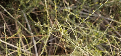
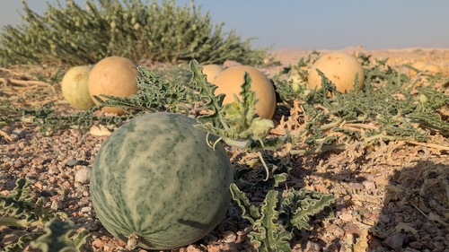
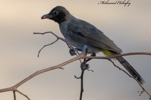
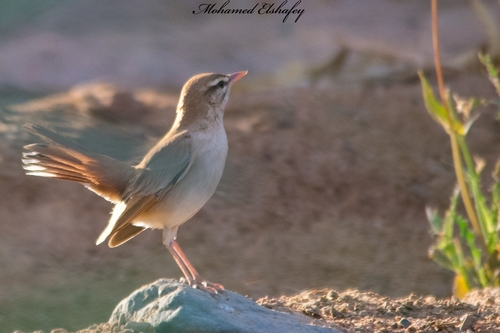
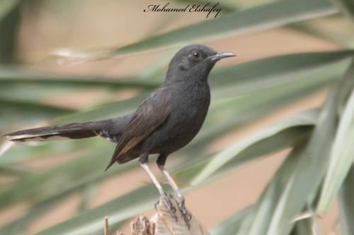
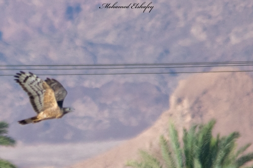
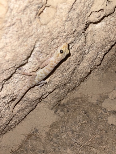
Research-grade observations from iNaturalist (within ~15 mi).
Events
Gallery
Sources
- • Wikipedia
- • Wikidata
- • iNaturalist
- • Open-Meteo / sunrise-sunset.org
- • Wikipedia Pageviews API