Browse / Saudi Arabia / Eastern Province / Dammam
Dammam
Eastern Provincecity

Dammam
Total population
903,312
Founded
1922
Demographic figures from General Authority for Statistics (Saudi Arabia). Overview below cites Wikipedia and may reference a different year.
City facts
Facts from Wikidata (CC0).
Overview
Dammam is the seat and largest city of the Eastern Province of Saudi Arabia. An industrial port city on the coast of the Persian Gulf, it had a population of 1,386,166 as of 2022, making it the country's fifth-largest city after Riyadh, Jeddah, Mecca, and Medina. Dammam forms the core of the Dammam metropolitan area, also known as Greater Dammam, which includes the neighboring governorates of Khobar and Qatif. As of 2022, the metropolitan area's population was 2,743,318, making it the third-largest in the country.
Read more on WikipediaHistory & geography
History
In 1866, the United Kingdom of Great Britain and Ireland launched an attack on the fort at Dammam, which was under the control of the Second Saudi state. The British forces were ultimately defeated, and the attack was repelled. The planning of drilling wells in Dammam started in the spring of 1933 in Jeddah, when an oil concession agreement was signed by both the government of King Abdulaziz and the representatives of The Standard Oil Company of California. A team of geologists was sent to Dammam. They finalized their plans for the wells in the beginning of June 1934. The work on the cellar for the first drilling rig in Dammam started approximately in January 1935, and ended on 19 February 1935. On 30 April 1935, the work began on drilling the first oil well in Dammam. Saudi Aramco dug the famous Dammam No. 7, now designated the 'Prosperity Well,' that proved that the kingdom possessed an oversized supply of hydrocarbons. Within a few decades, a locality that had several hundred inhabitants some sixty years ago now boasts a population of more than 1.5 million, and is still growing at a sustained high rate. The Dammam area, unlike other oil towns, has developed in multiple fields. Including hosting the administration of the Saudi oil industry, it is also a contemporary urban and industrial center. As this sector was growing within the early years, the Saudi government took steps to facilitate the evolution of the area. New roads and highways connected the booming city to other urban and industrial centers within the Kingdom. A railway line connected Dammam to the agricultural center of Kharj and on to Riyadh. Dhahran International Airport was established in 1961 to further enhance the region's connection to other parts of the country and the world. Later, all…
Geography
Much like most of Saudi Arabia, Dammam features a Hot desert climate (BWh) under the Köppen climate classification. Winter temperatures range from mild to warm, but regularly drop to as low as around at night. Rainfall in Dammam is generally sparse, and usually occurs in small amounts in the winter months of November, December and January; with periodic heavy thunderstorms. Hail generally falls during the colder months of December and January. Lighter showers occur during spring but are much rarer. Summer temperatures are extremely hot, owing to the region's geographic location; and continually exceed during daylight hours from March to October. Nights during summer generally feature temperatures higher than and very high humidity, due to the urban heat island effect. Dust storms, known locally as shamals, are common in summer, and generally come from the north. Extreme temperatures in the area have ranged from on 13 August 2021 to on 16 January 2008.
Excerpted from the corresponding Wikipedia article (CC BY-SA).
Geography
Coordinates & boundaries from the US Census TIGER/Line shapefiles.
Climate
10-year averages from ERA5 reanalysis (Open-Meteo).
Air quality
Walkability
Amenities nearby
Wildlife & biodiversity
Earthquake history
Photos
Sights & places nearby
Notable people from here


People born within ~10 km, from Wikidata (CC0). Click any name for their Wikipedia article.
Nearby places in Eastern Province
- `Inak7.4 mi away · pop. 20,038
- Chukata1769.2 mi away
- Chakali1770.4 mi away
- Bebrovo1770.6 mi away
- Cheshma1774.7 mi away
- Djulunitsa1781.8 mi away
- Lyaskovets1788.9 mi away · pop. 8,557
- Prisovo1788.9 mi away
- Dimcha1814.6 mi away
- Kordunski Ljeskovac2287.6 mi away · pop. 18
- Lipovača2289.7 mi away · pop. 157
- Drežnik Grad2290.4 mi away · pop. 354
Geography & sun
Elevation, sunrise/sunset and daylight from Open-Meteo. Solar climatology from NASA POWER.
Nearby airports
Public attention
Pageview totals from the Wikimedia Pageviews API.
Books about this place
Recent natural events nearby
Ground air-quality sensors
Recently spotted species

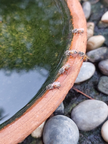

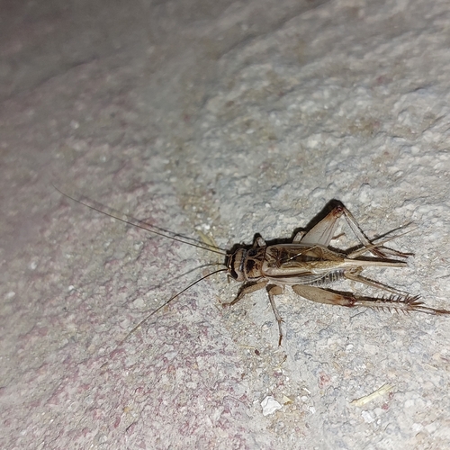
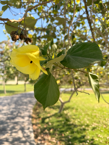
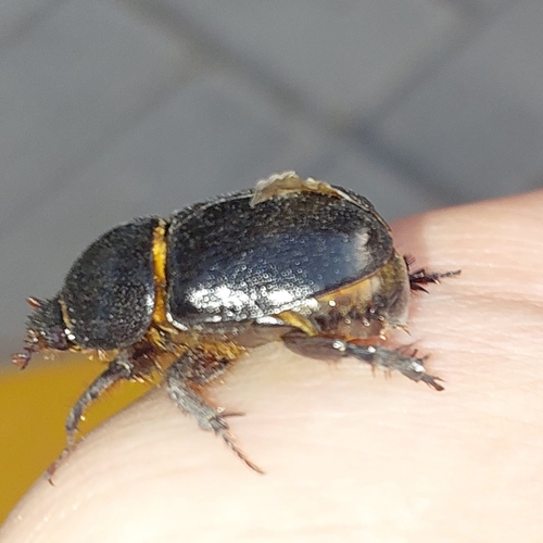
Research-grade observations from iNaturalist (within ~15 mi).
Events
Gallery
Geotagged photos within ~6 miles of Dammam, from Wikimedia Commons contributors.
.jpg) 0.1 mi
0.1 mi 0.4 mi
 0.5 mi
 0.6 mi
 0.7 mi
 0.7 mi
 0.8 mi
 1 mi
1 mi 1 mi
1 mi 1.1 mi
 1.4 mi
.jpg) 1.4 mi
1.4 mi.jpg) 1.4 mi
1.4 mi.jpg) 1.4 mi
1.4 mi 1.4 mi
 1.4 mi
 1.4 mi
 1.5 mi
 1.8 mi
 2 mi
2 mi 2 mi
2 mi 2.1 mi
 2.1 mi
.jpg) 2.1 mi
2.1 miPhotos via Wikimedia Commons — see each image page for license & attribution.
Sources
- • Wikipedia
- • Open-Meteo (ERA5 reanalysis)
- • Wikimedia Commons
- • Wikidata
- • iNaturalist
- • Open-Meteo / sunrise-sunset.org
- • Wikipedia Pageviews API