Browse / United States / South Carolina / Camp Croft
Camp Croft
South CarolinaCDP
Total population
1,586
Median home value
$165,000
Bachelor's+
Median income
$44,219
Demographic figures from US Census Bureau · ACS 5-year estimates. Overview below cites Wikipedia and may reference a different year.
City facts
Facts from Wikidata (CC0).
Overview
Camp Croft is an unincorporated area and census-designated place (CDP) in Spartanburg County, South Carolina, United States. It was first listed as a CDP prior to the 2020 census. The 2020 census lists a population of 2,110.
Read more on WikipediaHistory & geography
History
A U.S. Army base named Camp Croft was organized on what is now the area of the Camp Croft CDP during World War II. The base served as an Infantry Replacement Training Center and trained 60,000 soldiers per year from 1941 to 1946. Among the trainees was Henry Kissinger. Kissinger was naturalized at Camp Croft and would later serve as Secretary of State under President Nixon. In the later years of the war, a prisoner-of-war camp was established at Camp Croft and almost 1,000 German prisoners were held there. After the war, Camp Croft was not retained as a military installation and the land was returned to civilian control. The former base was redeveloped partly as a residential neighborhood and partly as Croft State Park.
Geography
The CDP is in eastern Spartanburg County and is bordered to the north by Ben Avon. South Carolina Highway 295 (Southport Road) forms the northern border of the CDP; Spartanburg is to the northwest, and Pacolet is to the east. The Creek Golf Club is in the center of the community, and Kelsey Creek, a south-flowing tributary of Fairforest Creek and part of the Tyger River watershed, forms the southwest boundary. Croft State Park borders the community to the south.
Excerpted from the corresponding Wikipedia article (CC BY-SA).
Demographics & economy
Race & ethnicity
Source: US Census Bureau — American Community Survey, 5-year estimates.
Geography
Coordinates & boundaries from the US Census TIGER/Line shapefiles.
Climate
Current forecast
Forecast for Camp Croft, SC from NOAA NWS API.
Air quality
Industrial & pollution facilities
Natural hazard risk
Health (adults)
Age-adjusted prevalence estimates from CDC PLACES (latest release).
Walkability
Amenities nearby
Wildlife & biodiversity
Most-observed species
- Northern CardinalCardinalis cardinalis (Linnaeus, 1758) · Aves3,497
- Carolina WrenThryothorus ludovicianus (Latham, 1790) · Aves2,720
- Tufted TitmouseBaeolophus bicolor (Linnaeus, 1766) · Aves2,490
- Carolina ChickadeePoecile carolinensis (Audubon, 1834) · Aves2,407
- American CrowCorvus brachyrhynchos C.L.Brehm, 1822 · Aves2,199
- Eastern BluebirdSialia sialis (Linnaeus, 1758) · Aves2,109
- Mourning DoveZenaida macroura (Linnaeus, 1758) · Aves1,984
- Northern MockingbirdMimus polyglottos (Linnaeus, 1758) · Aves1,952
Citizen-science & research observations from the Global Biodiversity Information Facility (GBIF).
Schools
Largest nearby schools
- Dorman HighHigh · Roebuck · 3,808 students · 18.1:1 ratio
- Spartanburg HighHigh · Spartanburg · 2,056 students · 15.5:1 ratio
- Fairforest MiddleMiddle · Spartanburg · 1,054 students · 14.8:1 ratio
- McCracken MiddleMiddle · Spartanburg · 926 students · 13:1 ratio
- R. P. Dawkins MiddleMiddle · Moore · 862 students · 13.9:1 ratio
- L. E. Gable MiddleMiddle · Roebuck · 840 students · 13.8:1 ratio
- Broome HighHigh · Spartanburg · 825 students · 17.6:1 ratio
- Roebuck ElementaryElementary · Roebuck · 800 students · 13.6:1 ratio
Public K–12 schools within ~10 mi from Urban Institute Education Data Portal (NCES Common Core of Data, 2022).
Earthquake history
Most recent
- M 2.54 — 2025-08-234 km NNW of Coronaca, South Carolina
- M 3.04 — 2025-08-233 km N of Coronaca, South Carolina
- M 2.88 — 2025-08-233 km NNW of Coronaca, South Carolina
- M 2.73 — 2025-08-147 km N of Columbus, North Carolina
- M 2.53 — 2024-10-133 km NNW of Coronaca, South Carolina
- M 2.69 — 2022-12-080 km S of Laurel Park, North Carolina
Events from the USGS Earthquake Catalog (global) (FDSN Event Web Service).
Photos
Sights & places nearby
Notable people from here


People born within ~10 km, from Wikidata (CC0). Click any name for their Wikipedia article.
Nearby places in South Carolina
Geography & sun
Elevation, sunrise/sunset and daylight from Open-Meteo. Solar climatology from NASA POWER.
Nearby airports
Public attention
Pageview totals from the Wikimedia Pageviews API.
Books about Camp Croft


Search results from Open Library.
Recent natural events nearby
- Prescribed Fire STE - Goodin Ridge RX, McCreary, KentuckyWildfires · 2026-10-18 · 199 mi
- Wildfire Main Trail, Chatham, GeorgiaWildfires · 2026-08-14 · 216 mi
Wildfires, storms and other events from NASA EONET (last 12 months, within 250 mi).
Ground air-quality sensors
Recently spotted species
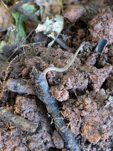
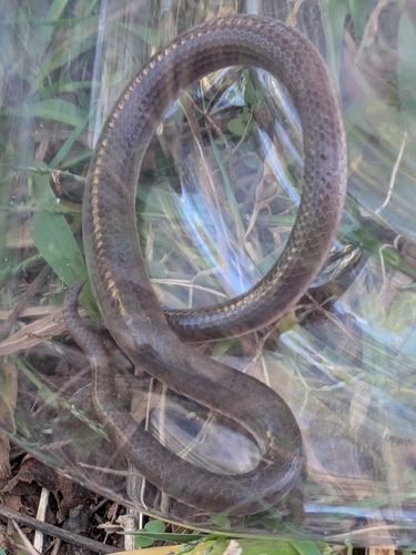
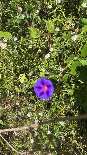
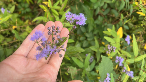
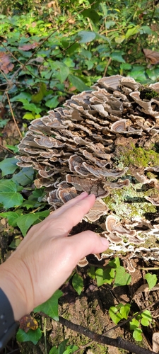
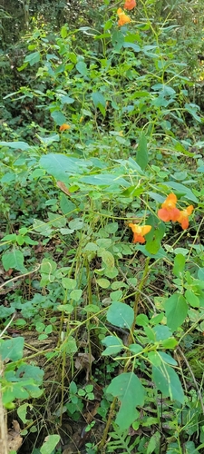
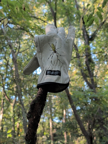
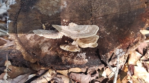
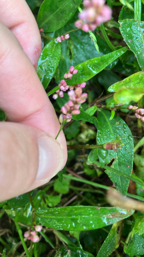
Research-grade observations from iNaturalist (within ~15 mi).
Nearest stream gauge
Events
Gallery
Sources
- • Wikipedia
- • US Census Bureau (ACS 5-year estimates)
- • NOAA National Weather Service
- • Wikidata
- • USGS Earthquake Catalog (global feed)
- • NCES via Urban Institute Education Data Portal
- • GBIF (Global Biodiversity Information Facility)
- • iNaturalist
- • CDC PLACES
- • Open-Meteo / sunrise-sunset.org
- • Wikipedia Pageviews API
- • Open Library
- • NASA EONET