Browse / United States / South Carolina / Charleston
Charleston
South Carolinacity

Charleston
Total population
154,338
Median home value
$509,700
Bachelor's+
Median income
$92,414
Founded
1670
Air quality index
Demographic figures from US Census Bureau · ACS 5-year estimates. Overview below cites Wikipedia and may reference a different year.
- Heat Advisory · ModerateHeat Advisory issued June 28 at 2:12AM EDT until June 28 at 6:00PM EDT by NWS Charleston SC
Source: NOAA National Weather Service.
City facts
Sister cities
- Spoleto
- Tempelhof
Facts from Wikidata (CC0).
Overview
Charleston is the most populous city in the U.S. state of South Carolina. The city lies just south of the geographical midpoint of South Carolina's coastline on Charleston Harbor, an inlet of the Atlantic Ocean formed by the confluence of the Ashley, Cooper, and Wando rivers. Charleston had a population of 150,227 at the 2020 census, while the Charleston metropolitan area, comprising Berkeley, Charleston, and Dorchester counties, has an estimated 870,000 residents. It ranks as the third-most-populous metropolitan area in the state and the 71st-most-populous in the U.S. It is the county seat of Charleston County.
Read more on WikipediaHistory & geography
History
The unified Cusabo people (including sub tribes such as Kiawah) and the Ittiwan people inhabited the area prior to colonial settlement. They were known as "Settlement Indians" by colonists. King Charles II granted the chartered Province of Carolina to eight of his loyal friends, known as the Lords Proprietors, on March 24, 1663. Later that year, prominent planters from Barbados attempted their first settlement in the Carolinas on the Cape Fear River, building what would become Charles Towne, North Carolina. This settlement was short lived and most returned back to Barbados a few years into the enterprise. In 1670, Governor William Sayle arranged for several shiploads of settlers from Bermuda and Barbados. These settlers established what was then called Charles Town at Albemarle Point, on the west bank of the Ashley River, a few miles northwest of the present-day city center. Charles Town became the first comprehensively planned town in the Thirteen Colonies. Its governance, settlement, and development were to follow a visionary plan known as the Grand Model prepared for the Lord's Proprietors by John Locke. Because the Carolina's Fundamental Constitutions were never ratified, however, Charles Town was never incorporated during the colonial period. Instead, local ordinances were passed by the provincial government, with day-to-day administration handled by the wardens and vestries of StPhilip's and StMichael's Anglican parishes. At the time of European colonization, the area was inhabited by the indigenous Cusabo, on whom the settlers declared war in October 1671. The settlers initially allied with the Westo, a northern indigenous tribe that traded in enslaved Indians. The settlers abandoned their alliance with the Westo in 1679 and allied with the Cusabo instead.…
Geography
The city proper consists of six distinct districts. * Downtown, sometimes referred to as "The Peninsula", is Charleston's center city separated by the Ashley River to the west and the Cooper River to the east * West Ashley, residential area to the west of Downtown bordered by the Ashley River to the east and the Stono River to the west * Johns Island, far western limits of Charleston, bordered by the Stono River to the east, Kiawah River to the south, and Wadmalaw Island to the west * James Island, a popular residential area between Downtown and the town of Folly Beach with portions of the independent town of James Island intermixed * Cainhoy Peninsula, far eastern limits of Charleston, bordered by the Wando River to the west and Nowell Creek to the east * Daniel Island, residential area to the north of downtown, east of the Cooper River and west of the Wando River The incorporated city fit into as late as World War I, but has since greatly expanded, crossing the Ashley River and encompassing James Island and some of Johns Island. The city limits also have expanded across the Cooper River, encompassing Daniel Island and the Cainhoy area. The present city has a total area of , of which is land and (15.11%) is water. At the airport, where official records are kept, the historical range is on August 1, 1999, down to on January 21, 1985. Nevertheless, traditional parishes still exist in various capacities, mainly as public service districts. When the city of Charleston was formed, it was defined by the limits of the Parish of St. Philip and St. Michael, which now also includes parts of St. James' Parish, St. George's Parish, St. Andrew's Parish, and St. John's Parish. However, the last two are mostly still incorporated rural parishes.
Excerpted from the corresponding Wikipedia article (CC BY-SA).
Demographics & economy
Race & ethnicity
Source: US Census Bureau — American Community Survey, 5-year estimates.
Geography
Coordinates & boundaries from the US Census TIGER/Line shapefiles.
Climate
10-year averages from ERA5 reanalysis (Open-Meteo).
Current forecast
Forecast for Charleston, SC from NOAA NWS API.
Air quality
Current readings from Open-Meteo Air Quality API (Copernicus CAMS European reanalysis).
Industrial & pollution facilities
Natural hazard risk
Health (adults)
Age-adjusted prevalence estimates from CDC PLACES (latest release).
Walkability
Amenities nearby
Wildlife & biodiversity
Most-observed species
- Northern CardinalCardinalis cardinalis (Linnaeus, 1758) · Aves34,255
- Carolina WrenThryothorus ludovicianus (Latham, 1790) · Aves29,374
- Carolina ChickadeePoecile carolinensis (Audubon, 1834) · Aves22,982
- Mourning DoveZenaida macroura (Linnaeus, 1758) · Aves21,963
- Northern MockingbirdMimus polyglottos (Linnaeus, 1758) · Aves19,772
- American CrowCorvus brachyrhynchos C.L.Brehm, 1822 · Aves19,756
- Eastern BluebirdSialia sialis (Linnaeus, 1758) · Aves18,370
- Blue JayCyanocitta cristata (Linnaeus, 1758) · Aves17,522
Citizen-science & research observations from the Global Biodiversity Information Facility (GBIF).
Schools
Largest nearby schools
- RB Stall HighHigh · North Charleston · 1,952 students · 15.9:1 ratio
- West Ashley HighHigh · Charleston · 1,935 students · 17.4:1 ratio
- Lucy Garrett Beckham HighHigh · Mt. Pleasant · 1,673 students · 18:1 ratio
- James Island Charter HighHigh · Charleston · 1,589 students · 15:1 ratio
- C. E. Williams Middle School for Creative and Scientific ArtMiddle · Charleston · 1,172 students · 13.5:1 ratio
- Orange Grove Charter SchoolElementary · Charleston · 1,167 students · 15.8:1 ratio
- Meeting Street ElementaryElementary · North Charleston · 1,133 students · 8.1:1 ratio
- Moultrie MiddleMiddle · Mount Pleasant · 1,119 students · 18:1 ratio
Public K–12 schools within ~10 mi from Urban Institute Education Data Portal (NCES Common Core of Data, 2022).
Earthquake history
Most recent
- M 2.91 — 2026-02-086 km SW of Ladson, South Carolina
- M 3.27 — 2021-09-27South Carolina
- M 2.82 — 2021-09-273 km NNE of Summerville, South Carolina
- M 3 — 2014-03-190 km WNW of Centerville, South Carolina
- M 2.5 — 2013-09-198 km WSW of Summerville, South Carolina
- M 2.8 — 2012-07-315 km S of Centerville, South Carolina
Events from the USGS Earthquake Catalog (global) (FDSN Event Web Service).
Photos
Sights & places nearby
Notable people from here


People born within ~10 km, from Wikidata (CC0). Click any name for their Wikipedia article.
Nearby places in South Carolina
- James Island6.7 mi away
- Hanahan7.3 mi away · pop. 21,452
- Goose Creek11.7 mi away · pop. 45,946
- Kiawah Island15.5 mi away
- Lincolnville16.3 mi away
- Summerville17.2 mi away
- Seabrook Island21.3 mi away
- Adams Run22.9 mi away · pop. 469
- Moncks Corner25.7 mi away
- Ridgeville26.5 mi away
- Pinopolis27.9 mi away
- Cottageville30.4 mi away
Geography & sun
Elevation, sunrise/sunset and daylight from Open-Meteo. Solar climatology from NASA POWER.
Nearby airports
Public attention
Pageview totals from the Wikimedia Pageviews API.
Books about Charleston

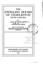
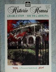

Search results from Open Library.
Recent natural events nearby
- Woodbury Wildfire, Marion, South CarolinaWildfires · 2026-04-14 · 75 mi
- Old Orangeburg Wildfire, Hampton, South CarolinaWildfires · 2026-04-17 · 76 mi
- Hwy 82 Wildfire, Brantley, GeorgiaWildfires · 2026-04-21 · 156 mi
- Conner-Nelson Rd (45) Wildfire, Nassau, FloridaWildfires · 2026-04-18 · 189 mi
- Pineland Rd Wildfire, Clinch, GeorgiaWildfires · 2026-04-19 · 218 mi
- Crews Rd (10) Wildfire, Clay, FloridaWildfires · 2026-04-20 · 226 mi
- RAILROAD COMPLEX Wildfire, Putnam, FloridaWildfires · 2026-04-19 · 232 mi
- RAILROAD COMPLEX Wildfire, Putnam, FloridaWildfires · 2026-04-19 · 232 mi
Wildfires, storms and other events from NASA EONET (last 12 months, within 250 mi).
Ground air-quality sensors
Recently spotted species
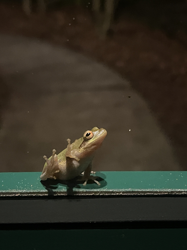
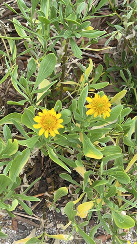
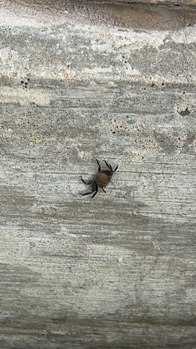
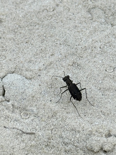
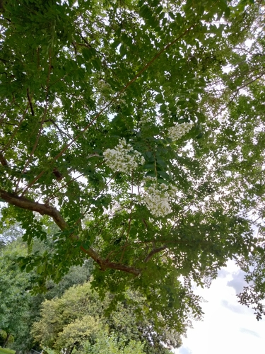
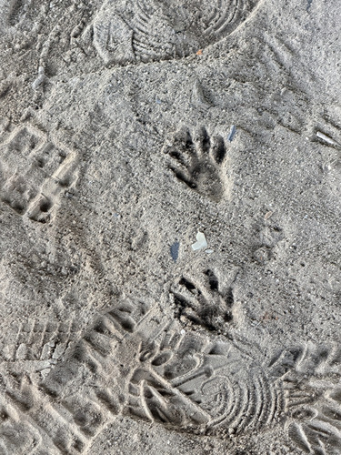
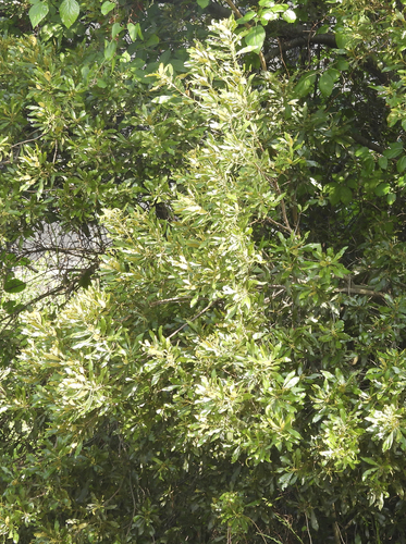
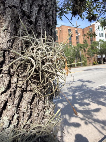
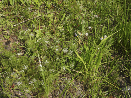
Research-grade observations from iNaturalist (within ~15 mi).
Nearest stream gauge
Live readings from USGS NWIS · measured 2026-06-14 01:00 UTC.
Events
Notable, recurring, and historical events associated with Charleston, sourced from Wikidata.
Source: Wikidata (CC0).
Gallery
Geotagged photos within ~6 miles of Charleston, from Wikimedia Commons contributors.
 0 mi
0 mi.jpg) 0 mi
0 mi 0.6 mi
 0.6 mi
 0.6 mi
 0.6 mi
 0.6 mi
 0.6 mi
 0.6 mi
.jpg) 1.2 mi
1.2 mi.jpg) 1.2 mi
1.2 mi.jpg) 1.2 mi
1.2 mi.jpg) 1.2 mi
1.2 mi.jpg) 1.2 mi
1.2 mi.jpg) 1.2 mi
1.2 mi.jpg) 1.2 mi
1.2 mi.jpg) 1.2 mi
1.2 mi.jpg) 1.2 mi
1.2 mi.jpg) 1.2 mi
1.2 mi.jpg) 1.2 mi
1.2 mi.jpg) 1.2 mi
1.2 mi.jpg) 1.2 mi
1.2 mi 1.2 mi
 1.2 mi
Photos via Wikimedia Commons — see each image page for license & attribution.
Sources
- • Wikipedia
- • US Census Bureau (ACS 5-year estimates)
- • Open-Meteo (ERA5 reanalysis)
- • NOAA National Weather Service
- • Wikimedia Commons
- • Wikidata
- • Open-Meteo Air Quality (CAMS)
- • USGS Earthquake Catalog (global feed)
- • USGS NWIS (water data)
- • NCES via Urban Institute Education Data Portal
- • GBIF (Global Biodiversity Information Facility)
- • iNaturalist
- • CDC PLACES
- • Open-Meteo / sunrise-sunset.org
- • Wikipedia Pageviews API
- • Open Library
- • NASA EONET