Browse / United States / South Carolina / Mullins
Mullins
South Carolinacity

Mullins
Total population
3,914
Founded
1872
Air quality index
Demographic figures from US Census Bureau · ACS 5-year estimates. Overview below cites Wikipedia and may reference a different year.
City facts
Facts from Wikidata (CC0).
Overview
Mullins is a city in Marion County, South Carolina, United States. As of the 2020 census, Mullins had a population of 4,026.
Read more on WikipediaHistory & geography
History
On March 4, 1872, the charter was approved for the town of Mullins. The same year the Macedonia Methodist church was established, the first church within city limits. By 1878, the city of Mullins had a population of 75 people, a total of 12 families. There were only three stores and four unpaved streets: Railroad, Main, Smith, and Gapway Streets. Gapway Road was designed from 76 Hwy in 1933. In 1894, the growth and sale of tobacco sparked the further development of the city of Mullins. At one time, the town was the largest tobacco producing/marketing industry in the United States. Mullins became the largest distributor of tobacco in the country, known as "South Carolina's Largest, The world's best tobacco market." In the late 1920s the tobacco festival was started and is still celebrated today. The tobacco festival is known as the 'Golden Leaf Festival." Mullins' first school was established in 1872, which was attended by boys and girls from the town, nearby rural areas, and neighboring counties. The first schoolhouse was built in 1904; a brick, two-story building on Academy Street. A second schoolhouse was built in 1913, on the corner of Main and Academy streets. Mullins High School was built in 1923 on North Park Street where it stood until burning in 1976. It was rebuilt close to the old Marion highway, outside of the city limits. McCormick Elementary School was built on Sandy Bluff Road in 1956. The original Palmetto School for Negroes (High and Elementary) was built on Cypress Street in 1919 and around 1956 was split up. The Palmetto Elementary School was built on Broad Street. The Palmetto High School was built on O'Neal Street with 1970 being the last graduating class. It became Palmetto Middle School as it remains today. In 1970 all schools were…
Geography
According to the United States Census Bureau, the city has a total area of , all land.
Excerpted from the corresponding Wikipedia article (CC BY-SA).
Demographics & economy
Geography
Coordinates & boundaries from the US Census TIGER/Line shapefiles.
Climate
10-year averages from ERA5 reanalysis (Open-Meteo).
Current forecast
Forecast for Mullins, SC from NOAA NWS API.
Air quality
Current readings from Open-Meteo Air Quality API (Copernicus CAMS European reanalysis).
Industrial & pollution facilities
Natural hazard risk
Health (adults)
Age-adjusted prevalence estimates from CDC PLACES (latest release).
Walkability
Amenities nearby
Wildlife & biodiversity
Most-observed species
- Turkey VultureCathartes aura (Linnaeus, 1758) · Aves306
- Northern CardinalCardinalis cardinalis (Linnaeus, 1758) · Aves266
- Mourning DoveZenaida macroura (Linnaeus, 1758) · Aves253
- American CrowCorvus brachyrhynchos C.L.Brehm, 1822 · Aves249
- Carolina WrenThryothorus ludovicianus (Latham, 1790) · Aves245
- Tufted TitmouseBaeolophus bicolor (Linnaeus, 1766) · Aves212
- Red-bellied WoodpeckerMelanerpes carolinus (Linnaeus, 1758) · Aves205
- Carolina ChickadeePoecile carolinensis (Audubon, 1834) · Aves202
Citizen-science & research observations from the Global Biodiversity Information Facility (GBIF).
Schools
Earthquake history
Most recent
- M 2.5 — 2012-07-297 km NNW of Wallace, South Carolina
- M 2.9 — 2011-03-219 km S of Cordova, North Carolina
- M 3.7 — 2006-09-257 km W of Rowland, North Carolina
- M 3.4 — 2006-09-224 km WSW of Blenheim, South Carolina
Events from the USGS Earthquake Catalog (global) (FDSN Event Web Service).
Photos
Sights & places nearby
Notable people from here


People born within ~10 km, from Wikidata (CC0). Click any name for their Wikipedia article.
Nearby places in South Carolina
Geography & sun
Elevation, sunrise/sunset and daylight from Open-Meteo. Solar climatology from NASA POWER.
Nearby airports
Public attention
Pageview totals from the Wikimedia Pageviews API.
Books about Mullins


Search results from Open Library.
Recent natural events nearby
- Wildfire Main Trail, Chatham, GeorgiaWildfires · 2026-08-14 · 190 mi
Wildfires, storms and other events from NASA EONET (last 12 months, within 250 mi).
Ground air-quality sensors
Recently spotted species
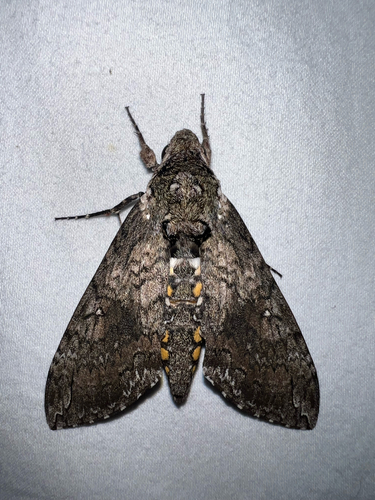
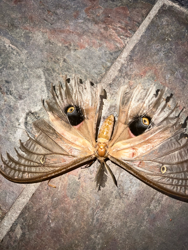
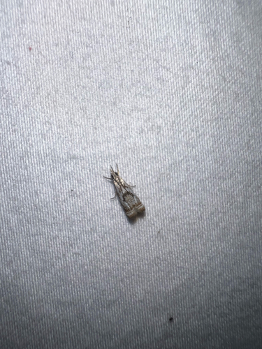
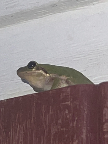
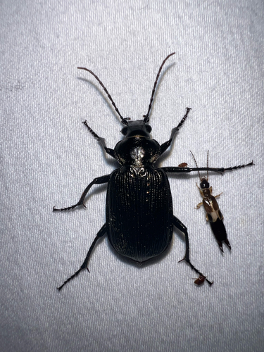
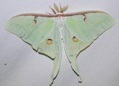
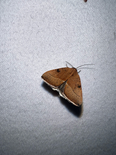
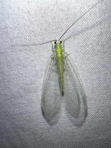
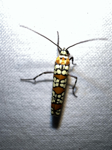
Research-grade observations from iNaturalist (within ~15 mi).
Nearest stream gauge
Live readings from USGS NWIS · measured 2026-09-20 20:00 UTC.
Events
Gallery
Sources
- • Wikipedia
- • Open-Meteo (ERA5 reanalysis)
- • NOAA National Weather Service
- • Wikidata
- • Open-Meteo Air Quality (CAMS)
- • USGS Earthquake Catalog (global feed)
- • USGS NWIS (water data)
- • GBIF (Global Biodiversity Information Facility)
- • iNaturalist
- • CDC PLACES
- • Open-Meteo / sunrise-sunset.org
- • Wikipedia Pageviews API
- • Open Library
- • NASA EONET