Browse / United States / South Carolina / Pawleys Island
Pawleys Island
South Carolinatown

Pawleys Island
Total population
170
Median home value
$1,694,400
Bachelor's+
Median income
$122,500
Demographic figures from US Census Bureau · ACS 5-year estimates. Overview below cites Wikipedia and may reference a different year.
- Coastal Flood Advisory · MinorCoastal Flood Advisory issued September 26 at 1:45AM EDT until September 26 at 10:00AM EDT by NWS Wilmington NC
Source: NOAA National Weather Service.
City facts
Facts from Wikidata (CC0).
Overview
Pawleys Island is a town in Georgetown County, South Carolina, United States, and the Atlantic coast barrier island on which the town is located.
Read more on WikipediaHistory & geography
History
The earliest known inhabitants of the Pawleys Island area were the Waccamaw and Winyah people, two Native American tribes whose history dates back more than 10,000 years. The ancient Waccamaw lived in communities along the Waccamaw River, an area stretching from Lake Waccamaw in North Carolina to Winyah Bay in Georgetown, South Carolina. Archaeological sites containing Waccamaw shell 'middens' (mounds) indicate that clams and oysters were popular foods. The Waccamaw were successful farmers, raising a variety of crops, and were skilled at domesticating animals including deer, chickens, ducks, geese, and other fowl. The Waccamaw tribe is a founding member of the South Carolina Indian Affairs Commission and has worked for decades with South Carolina governors to improve the lives and status of the state's first inhabitants. Town namesake George Pawley, who inherited the island through a land grant to his father, sold parcels to wealthy rice planters seeking a coastal summer refuge from malaria-causing mosquitoes. In 1791, President George Washington toured the Grand Strand, traveling The King's Highway to an unincorporated portion of Pawleys Island to visit the Alstons, who owned several plantations in the area. With Hurricane Hugo in 1989, some island cottages were swept away and have since been replaced. The island bans commercial or industrial buildings with the exception of a 1970s condominium complex and a few grandfathered inns, including the SeaView Inn and the PCJ Weston House, which is now the Pelican Inn. The town government was incorporated in 1985. The water temperature is comfortable from May to October, and there is abundant fishing, crabbing, shrimping, and birdwatching most months of the year. All Saints Church, Cedar Grove Plantation Chapel, and…
Geography
The Town of Pawleys Island is located just off U.S. Route 17, approximately east of Georgetown. The island itself, located at , is a little over long and about wide. To the east-southeast lies the Atlantic Ocean. The island is a sandy barrier, with some dunes on the northern end up to about high. The southern end is very low. Behind the island is a tidal creek/marsh. According to the United States Census Bureau, the town has a total area of , of which is land and (29.29%) is water.
Excerpted from the corresponding Wikipedia article (CC BY-SA).
Demographics & economy
Race & ethnicity
Source: US Census Bureau — American Community Survey, 5-year estimates.
Geography
Coordinates & boundaries from the US Census TIGER/Line shapefiles.
Climate
Current forecast
Forecast for Pawleys Island, SC from NOAA NWS API.
Air quality
Industrial & pollution facilities
Natural hazard risk
Health (adults)
Age-adjusted prevalence estimates from CDC PLACES (latest release).
Walkability
Amenities nearby
Wildlife & biodiversity
Schools
Earthquake history
Photos
Sights & places nearby
Notable people from here
Nearby places in South Carolina
- DeBordieu Colony4.9 mi away
- Murrells Inlet9.7 mi away · pop. 10,044
- Georgetown9.8 mi away
- Dunbar15 mi away
- Bucksport16.4 mi away
- Socastee19.1 mi away
- Forestbrook22.4 mi away
- Myrtle Beach23.9 mi away · pop. 35,682
- Red Hill25 mi away · pop. 15,920
- Andrews25.5 mi away
- Carolina Forest26.4 mi away
- Hemingway29.1 mi away
Geography & sun
Elevation, sunrise/sunset and daylight from Open-Meteo. Solar climatology from NASA POWER.
Nearby airports
Public attention
Pageview totals from the Wikimedia Pageviews API.
Books about Pawleys Island





Search results from Open Library.
Recent natural events nearby
- Wildfire Main Trail, Chatham, GeorgiaWildfires · 2026-08-14 · 153 mi
- Wildfire Camden McCarthy Overpass Fire, Camden, GeorgiaWildfires · 2026-07-30 · 225 mi
Wildfires, storms and other events from NASA EONET (last 12 months, within 250 mi).
Ground air-quality sensors
Recently spotted species
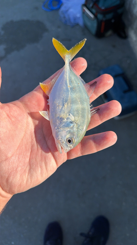
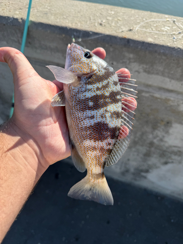
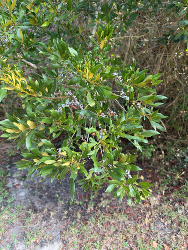
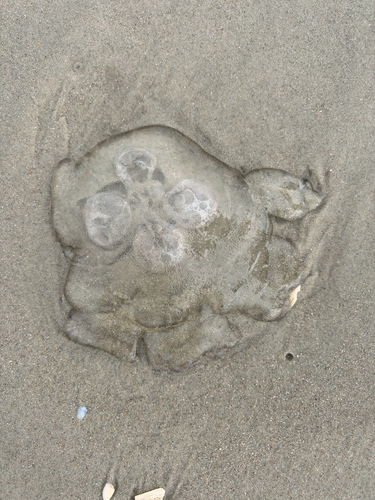
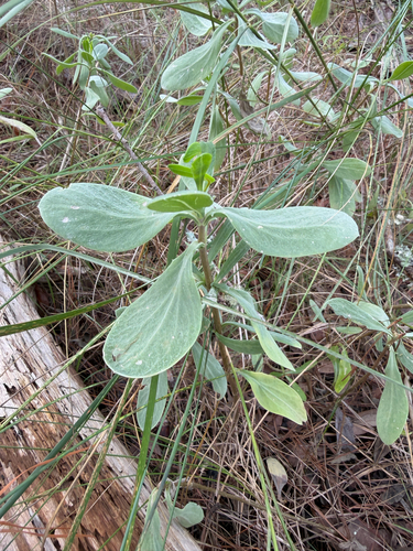
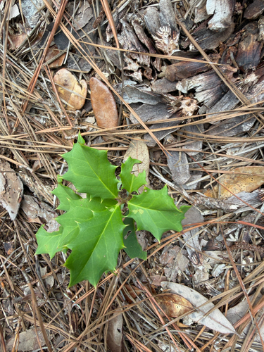
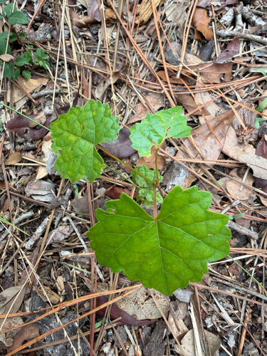
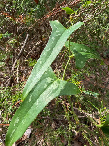
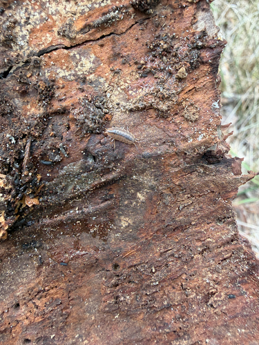
Research-grade observations from iNaturalist (within ~15 mi).
Nearest stream gauge
Events
Gallery
Sources
- • Wikipedia
- • US Census Bureau (ACS 5-year estimates)
- • NOAA National Weather Service
- • Wikidata
- • iNaturalist
- • CDC PLACES
- • Open-Meteo / sunrise-sunset.org
- • Wikipedia Pageviews API
- • Open Library
- • NASA EONET