Browse / United States / South Carolina / Slater-Marietta
Slater-Marietta
South CarolinaCDP

Slater-Marietta
Total population
2,381
Median home value
$95,800
Bachelor's+
Median income
$41,857
Demographic figures from US Census Bureau · ACS 5-year estimates. Overview below cites Wikipedia and may reference a different year.
City facts
Facts from Wikidata (CC0).
Overview
Slater-Marietta is a census-designated place (CDP) in Greenville County, South Carolina, United States, along the North Saluda River. At the 2000 census, there were 2,228 people. At the 2010 census, there were 2,176. At the 2020 census, there were 1,873. It is part of the Greenville–Mauldin–Easley Metropolitan Statistical Area.
Read more on WikipediaHistory & geography
History
J. Harvey Cleveland, born in 1815, invested in land in northern Greenville County, including a tract along the North Saluda River which he bought from his father-in-law about 1840. Cleveland expanded the simple home on the property and made it his family home. He also plotted a nearby settlement, named "Marietta" after his wife, Mary Louisa Williams. In 1927, the Slater family announced they would build a mill nearby and a Slater village around it, on land bought from Cleveland family members. The new Slater Mill opened in 1928, was very successful, and overwhelmed the two communities, which became referred to as Slater-Marietta. In 1946, the Slaters sold their mill to J.P. Stevens & Company, and the J.P. Stevens' Slater Plant went on to produce the main material for the space suits used on the first Moon landing in 1969 as well as Space Shuttle components. In 2016, JPS Composite Materials owned the mill, which was mainly producing fiber glass, and sold it to B&W Fiber Glass.
Geography
Marietta is located in northern Greenville County. The CDP consists of two adjoining communities, both unincorporated: Slater and Marietta. Each community has its own post office and ZIP Code. U.S. Route 276 passes through Marietta, while Slater is directly to the east. US 276 leads south to Greenville and northwest to the North Carolina border at the crest of the Blue Ridge Mountains. South Carolina Highway 288 leads west from Marietta to Pumpkintown. According to the United States Census Bureau, the CDP has a total area of , of which , or 0.14%, are water.
Excerpted from the corresponding Wikipedia article (CC BY-SA).
Demographics & economy
Race & ethnicity
Source: US Census Bureau — American Community Survey, 5-year estimates.
Geography
Coordinates & boundaries from the US Census TIGER/Line shapefiles.
Climate
Air quality
Industrial & pollution facilities
Natural hazard risk
Health (adults)
Walkability
Amenities nearby
Wildlife & biodiversity
Schools
Earthquake history
Photos
Sights & places nearby
Notable people from here

People born within ~10 km, from Wikidata (CC0). Click any name for their Wikipedia article.
Nearby places in South Carolina
Geography & sun
Elevation, sunrise/sunset and daylight from Open-Meteo. Solar climatology from NASA POWER.
Nearby airports
Public attention
Pageview totals from the Wikimedia Pageviews API.
Books about this place
Recent natural events nearby
- Wildfire Main Trail, Chatham, GeorgiaWildfires · 2026-08-14 · 235 mi
Wildfires, storms and other events from NASA EONET (last 12 months, within 250 mi).
Ground air-quality sensors
Recently spotted species
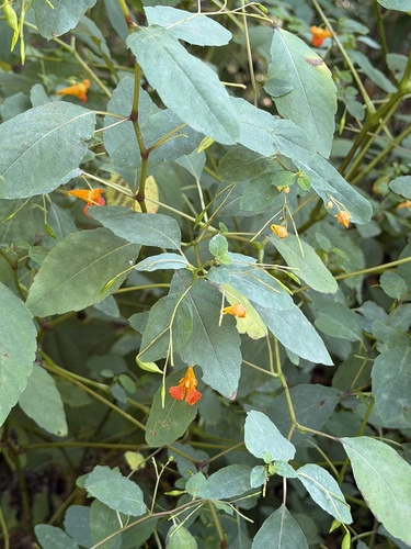
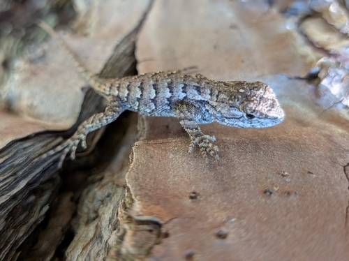
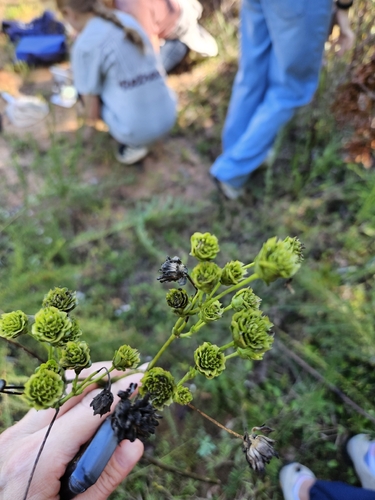
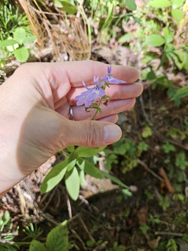
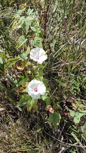
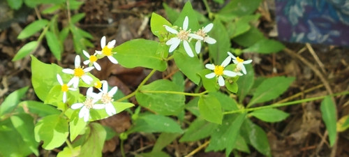
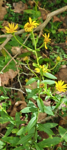
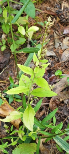
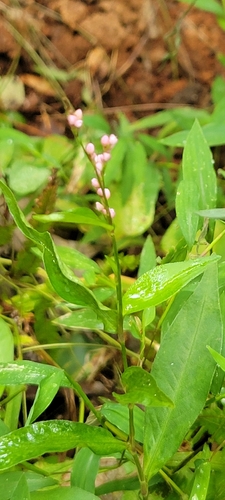
Research-grade observations from iNaturalist (within ~15 mi).
Nearest stream gauge
Events
Gallery
Sources
- • Wikipedia
- • US Census Bureau (ACS 5-year estimates)
- • Wikidata
- • iNaturalist
- • Open-Meteo / sunrise-sunset.org
- • Wikipedia Pageviews API
- • NASA EONET