Browse / United States / South Dakota / Aberdeen
Aberdeen
South Dakotacity

Aberdeen
Total population
28,189
Median home value
$217,300
Bachelor's+
Median income
$64,405
Founded
1880
Demographic figures from US Census Bureau · ACS 5-year estimates. Overview below cites Wikipedia and may reference a different year.
City facts
Facts from Wikidata (CC0).
Overview
Aberdeen is a city in and the county seat of Brown County, South Dakota, United States. The population was 28,495 at the 2020 census, and was estimated to be 27,919 in 2024, making it the third-most populous city in the state. Aberdeen is home of Northern State University.
Read more on WikipediaHistory & geography
History
Before Aberdeen or Brown County was inhabited by European settlers, it was inhabited by the Sioux Indians from approximately 1700 to 1879. Europeans entered the region for business, founding fur trading posts during the 1820s; these trading posts operated until the mid-1830s. The first "settlers" of this region were the Arikara Indians, but they would later be joined by others. The first group of Euro-American settlers to reach the area that is now Brown County was a party of four people, three horses, two mules, fifteen cattle, and two wagons. This group of settlers was later joined by another group the following spring, and, eventually, more settlers migrated toward this general area, currently known as Columbia, South Dakota. This town was established on June 15, 1879, was settled in 1880, and was incorporated in 1882. Aberdeen, like many towns of the Midwest, was built around the newly developing railroad systems. Aberdeen was first officially plotted as a town site on January 3, 1881, by Charles Prior, the superintendent of the Minneapolis office of the Chicago, Milwaukee, and St. Paul Railroad, or the Milwaukee Road for short, which was presided over by Alexander Mitchell, Charles Prior's boss, who was responsible for the choice of town names. He was born in Aberdeen, Scotland, after which the town of Aberdeen was named. Aberdeen had four different railroad companies with depots built in the newly developing town. With these four railroads intersecting here, Aberdeen soon became known as the "Hub City of the Dakotas". When looking down on Aberdeen from above, the railroad tracks converging in Aberdeen resembled the spokes of a wheel converging at a hub, hence the name "Hub City of the Dakotas". These four railroad companies are the reason why Aberdeen was able…
Geography
Aberdeen is located in northeastern South Dakota, in the James River valley, approximately west of the river. The James River enters northeastern South Dakota in Brown County, where it is dammed to form two reservoirs northeast of Aberdeen. The city is bisected by Moccasin Creek, a slow-moving waterway which flows south and then northeast to the James River. According to the United States Census Bureau, the city has a total area of , of which is land and (0.47%) is water. The monthly daily average temperature ranges from in January to in July, while there are 16 days of + highs and 38 days with sub- lows annually. }}
Excerpted from the corresponding Wikipedia article (CC BY-SA).
Demographics & economy
Race & ethnicity
Source: US Census Bureau — American Community Survey, 5-year estimates.
Geography
Coordinates & boundaries from the US Census TIGER/Line shapefiles.
Climate
Current forecast
Forecast for Aberdeen, SD from NOAA NWS API.
Air quality
Industrial & pollution facilities
Natural hazard risk
Health (adults)
Walkability
Amenities nearby
Wildlife & biodiversity
Most-observed species
- American RobinTurdus migratorius Linnaeus, 1766 · Aves996
- House SparrowPasser domesticus (Linnaeus, 1758) · Aves925
- Common GrackleQuiscalus quiscula (Linnaeus, 1758) · Aves901
- Mourning DoveZenaida macroura (Linnaeus, 1758) · Aves809
- House FinchHaemorhous mexicanus (P.L.Statius Müller, 1776) · Aves636
- Red-winged BlackbirdAgelaius phoeniceus (Linnaeus, 1766) · Aves620
- MallardAnas platyrhynchos Linnaeus, 1758 · Aves601
- Canada Goose (canadensis Group)Branta canadensis (Linnaeus, 1758) · Aves574
Citizen-science & research observations from the Global Biodiversity Information Facility (GBIF).
Schools
Earthquake history
Most recent
- M 3.2 — 2020-12-0910 km NNW of Bowdle, South Dakota
Events from the USGS Earthquake Catalog (global) (FDSN Event Web Service).
Photos
Sights & places nearby
Notable people from here


People born within ~10 km, from Wikidata (CC0). Click any name for their Wikipedia article.
Nearby places in South Dakota
- Prairiewood Village3.9 mi away · pop. 474
- Andover27.6 mi away · pop. 31
- Pierpont30.9 mi away · pop. 161
- Blumengard Colony37.4 mi away
- Thunderbird Colony43 mi away
- Long Lake44.7 mi away · pop. 14
- Roslyn47.3 mi away · pop. 147
- Eden51.8 mi away · pop. 221
- Onaka52 mi away · pop. 25
- Lake City54 mi away · pop. 40
- Hillside Colony54.2 mi away
- Fordham Colony55.4 mi away
Geography & sun
Elevation, sunrise/sunset and daylight from Open-Meteo. Solar climatology from NASA POWER.
Nearby airports
Public attention
Pageview totals from the Wikimedia Pageviews API.
Books about Aberdeen
Search results from Open Library.
Recent natural events nearby
- Wildfire Twin Butte Ck, Corson, South DakotaWildfires · 2026-07-27 · 162 mi
- Wildfire Duhamel, Pennington, South DakotaWildfires · 2026-07-29 · 199 mi
- Wildfire Fairpoint, Meade, South DakotaWildfires · 2026-07-27 · 219 mi
- Wildfire Potato Creek, Jackson, South DakotaWildfires · 2026-08-01 · 221 mi
- Wildfire Potato Creek, Jackson, South DakotaWildfires · 2026-07-27 · 221 mi
- Wildfire XU Hill, Oglala Lakota, South DakotaWildfires · 2026-08-11 · 233 mi
- Wildfire Rancher fire, Oglala Lakota, South DakotaWildfires · 2026-08-11 · 242 mi
- Wildfire Alice, Harding, South DakotaWildfires · 2026-07-26 · 246 mi
Wildfires, storms and other events from NASA EONET (last 12 months, within 250 mi).
Ground air-quality sensors
Recently spotted species
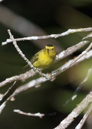
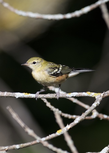
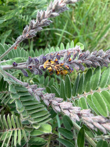
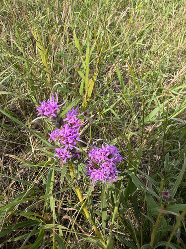
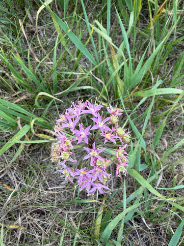
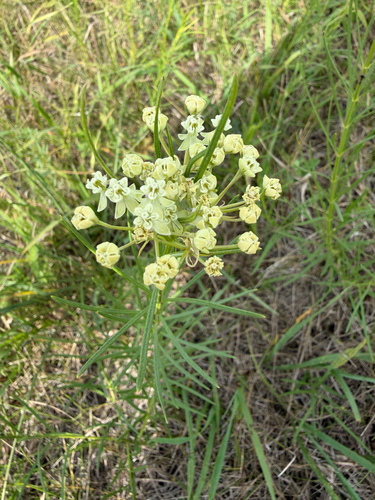
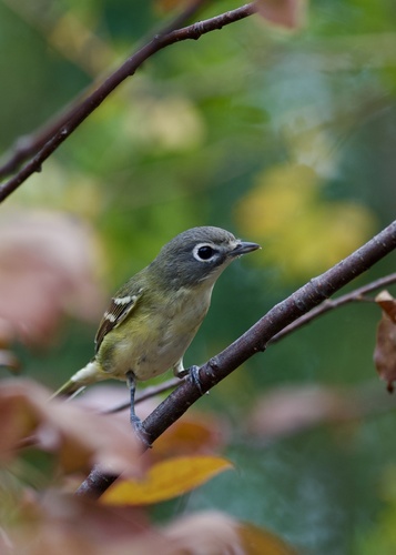
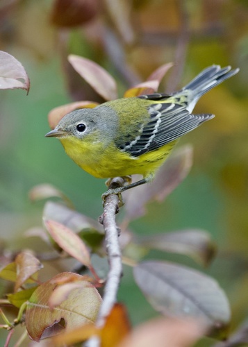
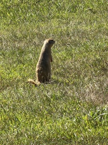
Research-grade observations from iNaturalist (within ~15 mi).
Nearest stream gauge
Events
Gallery
Sources
- • Wikipedia
- • US Census Bureau (ACS 5-year estimates)
- • NOAA National Weather Service
- • Wikidata
- • USGS Earthquake Catalog (global feed)
- • GBIF (Global Biodiversity Information Facility)
- • iNaturalist
- • Open-Meteo / sunrise-sunset.org
- • Wikipedia Pageviews API
- • Open Library
- • NASA EONET