Browse / Sudan / Khartoum / Al-Khojlab
Al-Khojlab
Khartoumtown
Air quality index
Demographic figures from Central Bureau of Statistics (Sudan). Overview below cites Wikipedia and may reference a different year.
City facts
Overview
Al-Khojlab, a town in Khartoum, Sudan, forms part of the country's settled landscape. Coordinates of 15.810°, 32.560° situate Al-Khojlab in the tropical zone of the northern hemisphere. Up-to-date population figures for this locality are not available in the open datasets we monitor. The location receives about 2,410 kWh/m² of solar irradiance per year and sunshine for roughly 94% of daylight hours. Meteorological summaries report average highs near 98°F and lows near 74.1°F, together with about 1.8 in of annual precipitation (an arid total). Climatically, locations at this latitude tend to experience warm temperatures throughout the year with pronounced wet and dry seasons. Open-data panels below dive into population trends, climate normals, environmental indicators and nearby places.
Summary composed automatically from structured open data on this page. See our Terms for details.
History & geography
Geography
Coordinates & boundaries from the US Census TIGER/Line shapefiles.
Climate
10-year averages from ERA5 reanalysis (Open-Meteo).
Air quality
Current readings from Open-Meteo Air Quality API (Copernicus CAMS European reanalysis).
Walkability
Amenities nearby
Wildlife & biodiversity
Most-observed species
- RuffCalidris pugnax (Linnaeus, 1758) · Aves3
- Pied AvocetRecurvirostra avosetta Linnaeus, 1758 · Aves2
- Great White PelicanPelecanus onocrotalus Linnaeus, 1758 · Aves2
- Cattle EgretBubulcus ibis (Linnaeus, 1758) · Aves2
- Spotted RedshankTringa erythropus (Pallas, 1764) · Aves2
- White StorkCiconia ciconia (Linnaeus, 1758) · Aves2
- Crested LarkGalerida cristata (Linnaeus, 1758) · Aves2
- MudarCalotropis procera (Aiton) W.T.Aiton · Magnoliopsida2
Citizen-science & research observations from the Global Biodiversity Information Facility (GBIF).
Earthquake history
Events from the USGS Earthquake Catalog (global) (FDSN Event Web Service).
Photos
Sights & places nearby
Notable people from here
Nearby places in Khartoum
- East Nile14 mi away
- Hillat Ash Sheikh Abu Qoron29.5 mi away
- Arak Salih37.1 mi away
- Al Ghuwayriya1388.7 mi away
- Umm Birka1397.7 mi away
- Al Khor1398.7 mi away · pop. 31
- Al Dhakira1402.5 mi away
- Ras Laffan1406.8 mi away
- Windhoek2851.7 mi away · pop. 325,858
- Oamites2877 mi away
- Ban Meng4714.4 mi away
- Ban Hatxaykham4715.1 mi away
Geography & sun
Elevation, sunrise/sunset and daylight from Open-Meteo. Solar climatology from NASA POWER.
Nearby airports
Public attention
Books about this place
Recent natural events nearby
Ground air-quality sensors
Recently spotted species
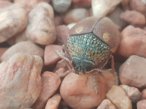
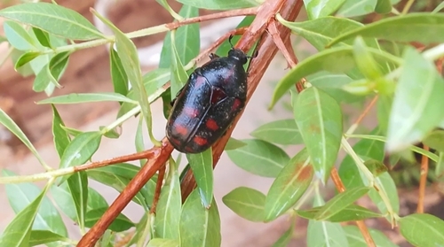
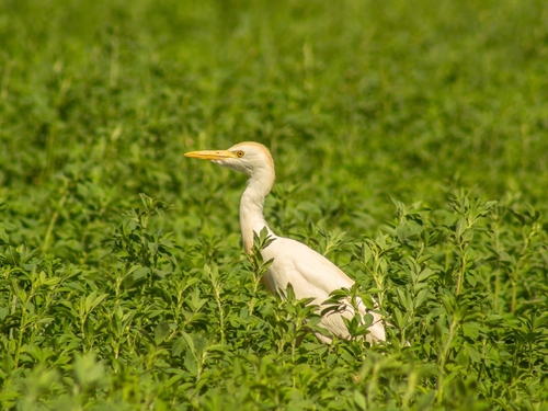
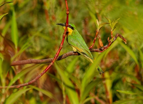
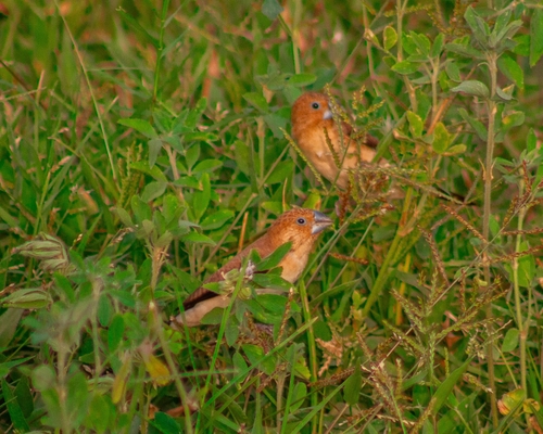
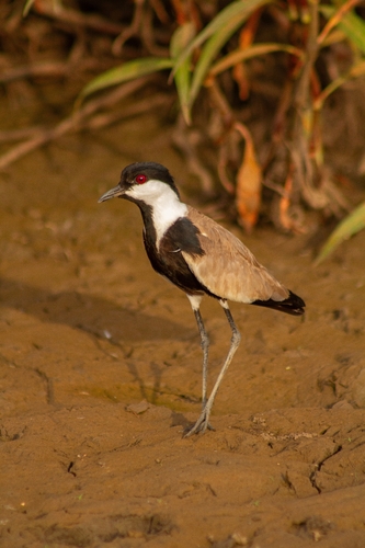
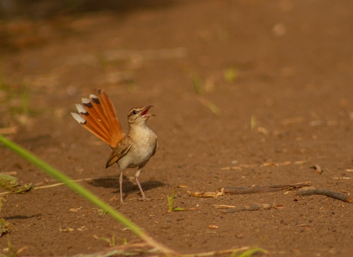
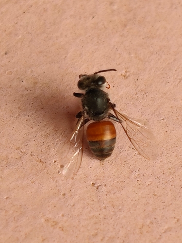

Research-grade observations from iNaturalist (within ~15 mi).
Events
Gallery
Sources
- • Open-Meteo (ERA5 reanalysis)
- • Wikidata
- • Open-Meteo Air Quality (CAMS)
- • USGS Earthquake Catalog (global feed)
- • GBIF (Global Biodiversity Information Facility)
- • iNaturalist
- • Open-Meteo / sunrise-sunset.org