Browse / United States / South Dakota / Ashton
Ashton
South Dakotacity

Ashton
Total population
204
Median home value
$60,800
Bachelor's+
Median income
$54,712
Air quality index
Demographic figures from US Census Bureau · ACS 5-year estimates. Overview below cites Wikipedia and may reference a different year.
City facts
Facts from Wikidata (CC0).
Overview
Ashton is a city in Spink County, South Dakota, United States. The population was 108 at the 2020 census.
Read more on WikipediaHistory & geography
History
Ashton was founded in 1879, but it was moved and replatted on the current site in 1881 in order to be located on a new railroad line. The town most likely takes its name after Ashton, England.
Geography
According to the United States Census Bureau, the city has a total area of , all land.
Excerpted from the corresponding Wikipedia article (CC BY-SA).
Demographics & economy
Race & ethnicity
Source: US Census Bureau — American Community Survey, 5-year estimates.
Geography
Coordinates & boundaries from the US Census TIGER/Line shapefiles.
Climate
Current forecast
Forecast for Ashton, SD from NOAA NWS API.
Air quality
Current readings from Open-Meteo Air Quality API (Copernicus CAMS European reanalysis).
Industrial & pollution facilities
Natural hazard risk
Health (adults)
Age-adjusted prevalence estimates from CDC PLACES (latest release).
Walkability
Amenities nearby
Wildlife & biodiversity
Most-observed species
- fragile heelsplitterPotamilus fragilis (Rafinesque, 1820) · Bivalvia83
- Red-winged BlackbirdAgelaius phoeniceus (Linnaeus, 1766) · Aves47
- giant floaterPyganodon grandis (Say, 1829) · Bivalvia44
- KilldeerCharadrius vociferus Linnaeus, 1758 · Aves42
- Common GrackleQuiscalus quiscula (Linnaeus, 1758) · Aves42
- Mourning DoveZenaida macroura (Linnaeus, 1758) · Aves39
- MallardAnas platyrhynchos Linnaeus, 1758 · Aves36
- House SparrowPasser domesticus (Linnaeus, 1758) · Aves33
Citizen-science & research observations from the Global Biodiversity Information Facility (GBIF).
Schools
Largest nearby schools
- Redfield Elementary - 03Elementary · Redfield · 270 students · 11.3:1 ratio
- Redfield High School - 01High · Redfield · 162 students · 11.6:1 ratio
- Redfield Middle School - 02Middle · Redfield · 114 students · 11.4:1 ratio
- Turtle Creek High School - 04High · Redfield · 8 students · 8:1 ratio
- Redfield Virtual School - 92High · Redfield · 1 students
- Turtle Creek Elementary School - 06Middle · Redfield
Public K–12 schools within ~10 mi from Urban Institute Education Data Portal (NCES Common Core of Data, 2022).
Earthquake history
Most recent
- M 3.5 — 2003-11-2122 km SSW of Wessington, South Dakota
- M 3.1 — 2002-07-260 km WSW of Huron, South Dakota
Events from the USGS Earthquake Catalog (global) (FDSN Event Web Service).
Photos
Sights & places nearby
Notable people from here
People born within ~10 km, from Wikidata (CC0). Click any name for their Wikipedia article.
Nearby places in South Dakota
- Hitchcock25.5 mi away · pop. 91
- Hillside Colony28.3 mi away
- Fordham Colony32.9 mi away
- Prairiewood Village35.9 mi away · pop. 474
- Blumengard Colony36.9 mi away
- Wessington38.4 mi away · pop. 192
- Thunderbird Colony39.7 mi away
- Brentwood Colony40.7 mi away
- Andover40.9 mi away · pop. 31
- Morningside45.9 mi away
- Pierpont47.5 mi away · pop. 161
- Onaka49 mi away · pop. 25
Geography & sun
Elevation, sunrise/sunset and daylight from Open-Meteo. Solar climatology from NASA POWER.
Nearby airports
Public attention
Pageview totals from the Wikimedia Pageviews API.
Books about Ashton
Search results from Open Library.
Recent natural events nearby
- Wildfire Duhamel, Pennington, South DakotaWildfires · 2026-07-29 · 189 mi
- Wildfire Potato Creek, Jackson, South DakotaWildfires · 2026-08-01 · 202 mi
- Wildfire Potato Creek, Jackson, South DakotaWildfires · 2026-07-27 · 202 mi
- Wildfire Fairpoint, Meade, South DakotaWildfires · 2026-07-27 · 213 mi
- Wildfire XU Hill, Oglala Lakota, South DakotaWildfires · 2026-08-11 · 216 mi
- Wildfire Needles, Oglala Lakota, South DakotaWildfires · 2026-09-04 · 222 mi
- Wildfire Rancher fire, Oglala Lakota, South DakotaWildfires · 2026-08-11 · 223 mi
Wildfires, storms and other events from NASA EONET (last 12 months, within 250 mi).
Ground air-quality sensors
Recently spotted species
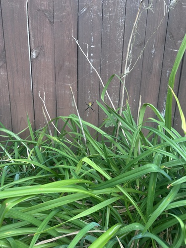
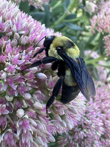
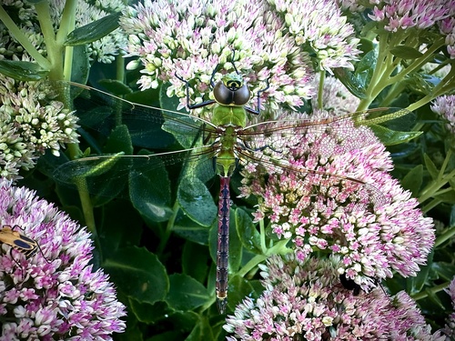
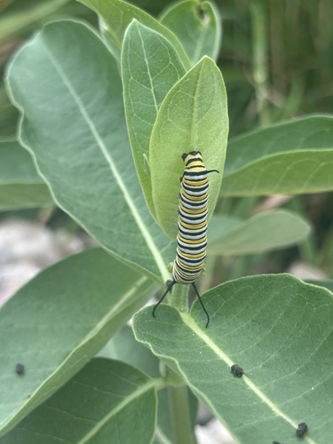
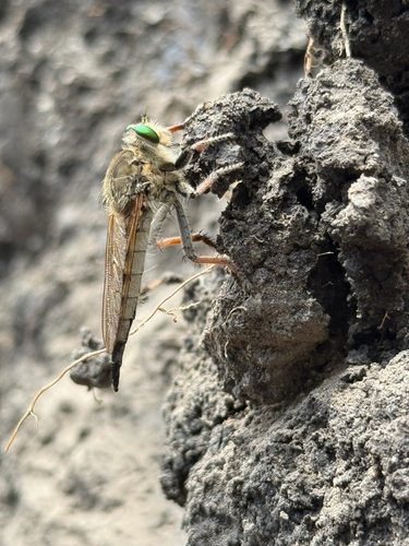
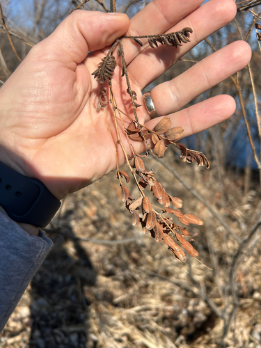

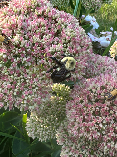
Research-grade observations from iNaturalist (within ~15 mi).
Nearest stream gauge
Events
Gallery
Sources
- • Wikipedia
- • US Census Bureau (ACS 5-year estimates)
- • NOAA National Weather Service
- • Wikidata
- • Open-Meteo Air Quality (CAMS)
- • USGS Earthquake Catalog (global feed)
- • NCES via Urban Institute Education Data Portal
- • GBIF (Global Biodiversity Information Facility)
- • iNaturalist
- • CDC PLACES
- • Open-Elevation
- • Open-Meteo / sunrise-sunset.org
- • Wikipedia Pageviews API
- • Open Library
- • NASA EONET