Browse / Sudan / River Nile / Atbara
Atbara
River Nilecity

Atbara
Total population
111,399
Demographic figures from Central Bureau of Statistics (Sudan). Overview below cites Wikipedia and may reference a different year.
City facts
Facts from Wikidata (CC0).
Overview
Atbara is a city located in River Nile State in northeastern Sudan.
Read more on WikipediaHistory & geography
History
The confluence of the Nile and its most northern tributary, the Atbarah River (Bahr-el-Aswad, or Black River) was a strategic location for military operations. in the year 1619 Atbara was conquered and sacked by forces of the Ethiopian Empire. In the Battle of Atbara, fought on 8 April 1898 near Nakheila, on the north bank of the river, Lord Kitchener's Anglo-Egyptian army defeated the Mahdist forces, commanded by Amir Mahmud Ahmad. Kitchener's strengthened position led to a decisive victory at the Battle of Omdurman on 2 September 1898, giving the British control over the Sudan. The town was the centre of the Sudanese railway industry. Few trains are made here now and rail traffic is much reduced. The original station and unusual dome-shaped houses of railway workers remain. The first trade union in Sudan formed in 1946 among railroad workers in Atbara. Perhaps because of the influence of the railway unions, Atbara is also considered by many to be the home of Sudanese communism. Jaafar Nimeiri, Sudan's president from 1969 to 1985, alternated between communism, capitalism, and Islamic fundamentalism – depending on who he was trying to get on his side and extract money from – and the communist phase had its stronghold around Atbara. Atbara was also the starting point for mobilizations against the regime in December 2018.
Geography
Atbara is located at the junction of the Nile and Atbarah rivers. Atbara is made up of several districts including Umbukole district which was home to the First Higher School in Atbara. Other districts include the railway district, Almurabaat, Alsawdana and Almatar. Umbukole was originally the name given to a capital city in a northern state in Kurti county. It is now mostly remembered as the name of a small district in Atbara. One of the major districts of Atbara is Al-Dakhla (الداخلة) in Arabic. Some still use the name Al-Dakhla referring to Atbara. Atbara has a hot desert climate (Köppen climate classification BWh). The annual mean temperature reaches over 30 °C (86 °F) and the average highs exceed 40 °C (104 °F) during 7 months of the year. The annual average rainfall is 60 mm, mostly from July and August. Atbara is sunny, averaging 3,545 hours of bright sunshine per year or 81% of possible sunshine.
Excerpted from the corresponding Wikipedia article (CC BY-SA).
Geography
Coordinates & boundaries from the US Census TIGER/Line shapefiles.
Climate
Air quality
Walkability
Amenities nearby
Wildlife & biodiversity
Most-observed species
- Desert LocustSchistocerca gregaria (Forskål, 1775) · Insecta1
- Poekilocerus bufonius (Klug, 1832)Poekilocerus bufonius (Klug, 1832) · Insecta1
- Sacred IbisThreskiornis aethiopicus (Latham, 1790) · Aves1
- Common BulbulPycnonotus barbatus (Desfontaines, 1789) · Aves1
- Graylag GooseAnser anser (Linnaeus, 1758) · Aves1
- Sycamore FigFicus sycomorus L. · Magnoliopsida1
- fivekeeled gold scorpionLeiurus quinquestriatus (Ehrenberg, 1828) · Arachnida1
- Julodis caillaudi (Latreille, 1823)Julodis caillaudi (Latreille, 1823) · Insecta1
Citizen-science & research observations from the Global Biodiversity Information Facility (GBIF).
Earthquake history
Events from the USGS Earthquake Catalog (global) (FDSN Event Web Service).
Photos
Sights & places nearby
Notable people from here

People born within ~10 km, from Wikidata (CC0). Click any name for their Wikipedia article.
Nearby places in River Nile
Geography & sun
Elevation, sunrise/sunset and daylight from Open-Meteo. Solar climatology from NASA POWER.
Nearby airports
Public attention
Pageview totals from the Wikimedia Pageviews API.
Books about Atbara

Search results from Open Library.
Recent natural events nearby
Ground air-quality sensors
Recently spotted species
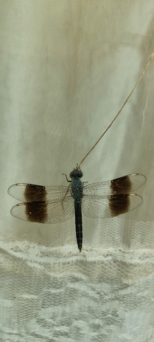
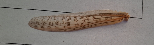
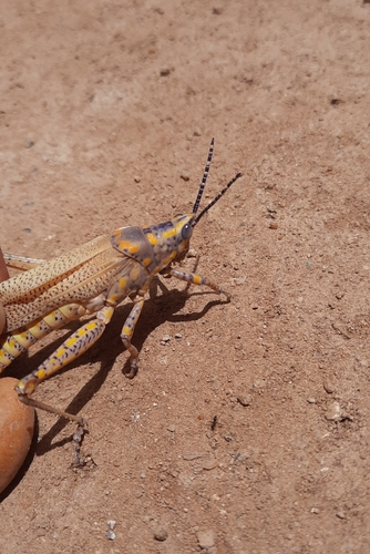
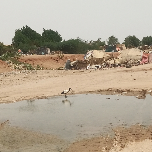
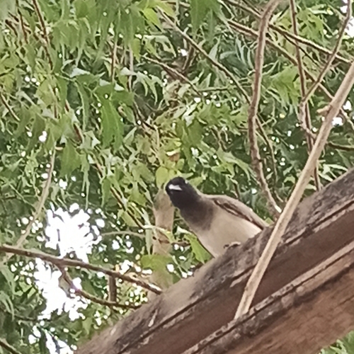
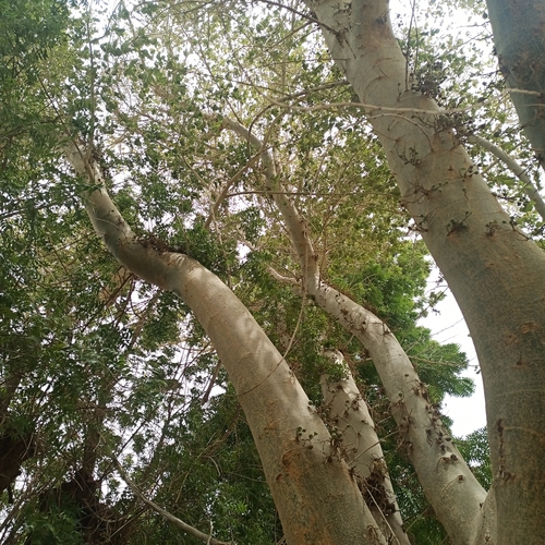
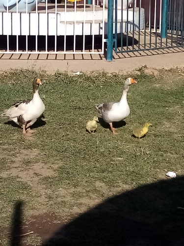
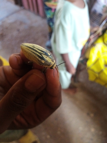
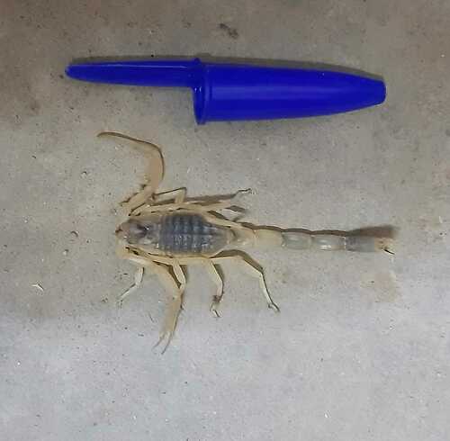
Research-grade observations from iNaturalist (within ~15 mi).
Events
Gallery
Sources
- • Wikipedia
- • Wikidata
- • USGS Earthquake Catalog (global feed)
- • GBIF (Global Biodiversity Information Facility)
- • iNaturalist
- • Open-Meteo / sunrise-sunset.org
- • Wikipedia Pageviews API
- • Open Library