Browse / United States / South Dakota / Bradley
Bradley
South Dakotatown

Bradley
Total population
78
Median home value
$94,200
Bachelor's+
Median income
$57,500
Demographic figures from US Census Bureau · ACS 5-year estimates. Overview below cites Wikipedia and may reference a different year.
City facts
Facts from Wikidata (CC0).
Overview
Bradley is a town in Clark County, South Dakota, United States. The population was 65 at the 2020 census. A post office opened in Bradley in 1887.
Read more on WikipediaHistory & geography
History
Bradley, South Dakota is named after E.R. Bradley, who rescued a railroad chief engineer from a brawl in the town.
Geography
According to the United States Census Bureau, the town has a total area of , all land.
Excerpted from the corresponding Wikipedia article (CC BY-SA).
Demographics & economy
Race & ethnicity
Source: US Census Bureau — American Community Survey, 5-year estimates.
Geography
Coordinates & boundaries from the US Census TIGER/Line shapefiles.
Climate
10-year averages from ERA5 reanalysis (Open-Meteo).
Current forecast
Forecast for Bradley, SD from NOAA NWS API.
Air quality
Industrial & pollution facilities
Natural hazard risk
Health (adults)
Age-adjusted prevalence estimates from CDC PLACES (latest release).
Walkability
Amenities nearby
Wildlife & biodiversity
Most-observed species
- Brown-belted Bumble BeeBombus griseocollis (De Geer, 1773) · Insecta70
- American White PelicanPelecanus erythrorhynchos Gmelin, 1789 · Aves48
- Great EgretArdea alba Linnaeus, 1758 · Aves48
- Common Eastern Bumble BeeBombus impatiens Cresson, 1863 · Insecta47
- Ring-billed GullLarus delawarensis Ord, 1815 · Aves46
- Double-crested CormorantPhalacrocorax auritus (Lesson, 1831) · Aves44
- KilldeerCharadrius vociferus Linnaeus, 1758 · Aves42
- Blue-winged TealSpatula discors (Linnaeus, 1766) · Aves37
Citizen-science & research observations from the Global Biodiversity Information Facility (GBIF).
Schools
Earthquake history
Most recent
- M 3.1 — 2002-07-260 km WSW of Huron, South Dakota
Events from the USGS Earthquake Catalog (global) (FDSN Event Web Service).
Photos
Sights & places nearby
Notable people from here
People born within ~10 km, from Wikidata (CC0). Click any name for their Wikipedia article.
Nearby places in South Dakota
- Andover25.5 mi away · pop. 31
- Fordham Colony25.8 mi away
- Roslyn29 mi away · pop. 147
- Pierpont29.5 mi away · pop. 161
- Hillside Colony31.4 mi away
- Willow Lake32 mi away · pop. 433
- Collins Colony37.6 mi away
- Eden37.9 mi away · pop. 221
- Claremont Colony42.7 mi away
- Clear Lake44.6 mi away · pop. 41
- Lake City45.2 mi away · pop. 40
- Badger46.9 mi away · pop. 162
Geography & sun
Elevation, sunrise/sunset and daylight from Open-Meteo. Solar climatology from NASA POWER.
Nearby airports
Public attention
Pageview totals from the Wikimedia Pageviews API.
Books about Bradley


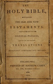
Search results from Open Library.
Recent natural events nearby
- Wildfire Twin Butte Ck, Corson, South DakotaWildfires · 2026-07-27 · 205 mi
- Wildfire Duhamel, Pennington, South DakotaWildfires · 2026-07-29 · 231 mi
- Wildfire Potato Creek, Jackson, South DakotaWildfires · 2026-08-01 · 243 mi
- Wildfire Potato Creek, Jackson, South DakotaWildfires · 2026-07-27 · 243 mi
Wildfires, storms and other events from NASA EONET (last 12 months, within 250 mi).
Ground air-quality sensors
Recently spotted species
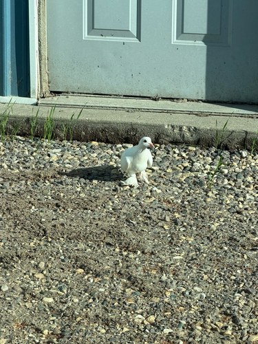
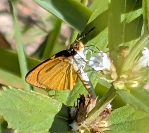
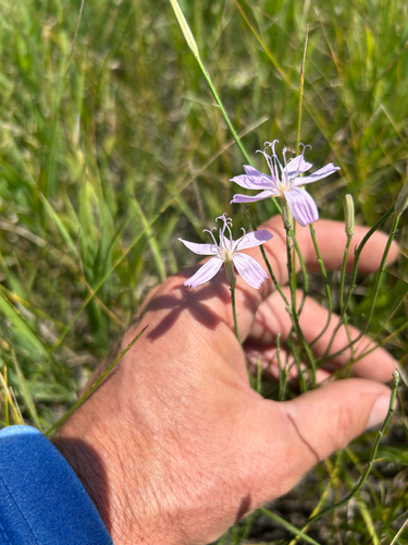
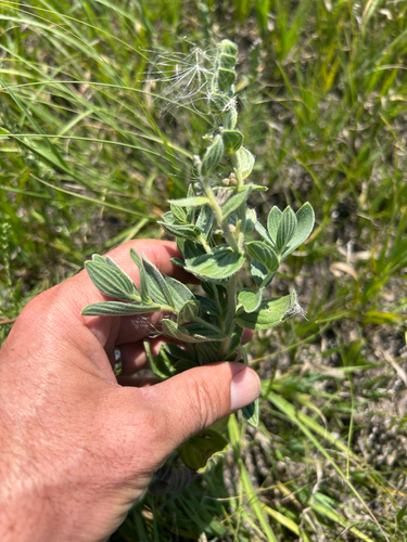
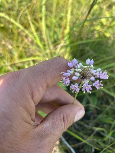
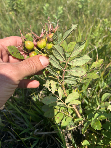
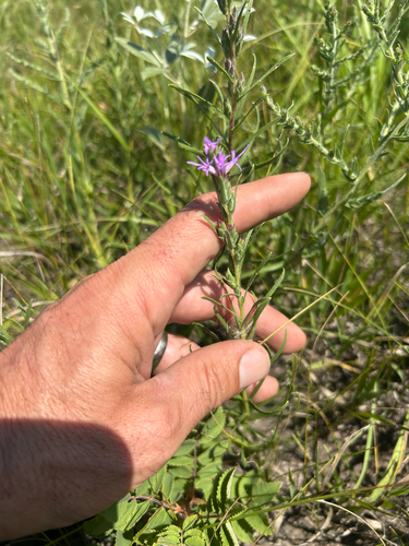
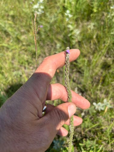
Research-grade observations from iNaturalist (within ~15 mi).
Nearest stream gauge
Events
Gallery
Sources
- • Wikipedia
- • US Census Bureau (ACS 5-year estimates)
- • Open-Meteo (ERA5 reanalysis)
- • NOAA National Weather Service
- • Wikidata
- • USGS Earthquake Catalog (global feed)
- • GBIF (Global Biodiversity Information Facility)
- • iNaturalist
- • CDC PLACES
- • Open-Meteo / sunrise-sunset.org
- • Wikipedia Pageviews API
- • Open Library
- • NASA EONET