Browse / United States / South Dakota / Crocker
Crocker
South DakotaCDP
Total population
22
Median home value
$0
Bachelor's+
Median income
$0
Demographic figures from US Census Bureau · ACS 5-year estimates. Overview below cites Wikipedia and may reference a different year.
City facts
Facts from Wikidata (CC0).
Overview
Crocker is an unincorporated community and census-designated place (CDP) in Clark County, South Dakota, United States. The population was 19 at the 2020 census.
Read more on WikipediaHistory & geography
Geography
Crocker is located in northern Clark County along South Dakota Highway 20, which leads east and southeast to Watertown and west to Conde. According to the United States Census Bureau, the Crocker CDP has a total area of , of which is land and , or 7.83%, is water.
Excerpted from the corresponding Wikipedia article (CC BY-SA).
Demographics & economy
Race & ethnicity
Source: US Census Bureau — American Community Survey, 5-year estimates.
Geography
Coordinates & boundaries from the US Census TIGER/Line shapefiles.
Climate
Current forecast
Forecast for Crocker, SD from NOAA NWS API.
Air quality
Industrial & pollution facilities
Natural hazard risk
Health (adults)
Walkability
Amenities nearby
Wildlife & biodiversity
Most-observed species
- Ring-billed GullLarus delawarensis Ord, 1815 · Aves27
- American White PelicanPelecanus erythrorhynchos Gmelin, 1789 · Aves27
- Great EgretArdea alba Linnaeus, 1758 · Aves25
- Common Eastern Bumble BeeBombus impatiens Cresson, 1863 · Insecta23
- Double-crested CormorantPhalacrocorax auritus (Lesson, 1831) · Aves22
- MallardAnas platyrhynchos Linnaeus, 1758 · Aves22
- Brown-belted Bumble BeeBombus griseocollis (De Geer, 1773) · Insecta21
- KilldeerCharadrius vociferus Linnaeus, 1758 · Aves19
Citizen-science & research observations from the Global Biodiversity Information Facility (GBIF).
Schools
Earthquake history
Most recent
- M 3.1 — 2002-07-260 km WSW of Huron, South Dakota
Events from the USGS Earthquake Catalog (global) (FDSN Event Web Service).
Photos
Sights & places nearby
Notable people from here
Nearby places in South Dakota
- Garden City14.2 mi away
- Clark16.2 mi away
- Andover21.5 mi away · pop. 31
- Fordham Colony24.8 mi away
- Pierpont26.5 mi away · pop. 161
- Hillside Colony29.3 mi away
- Roslyn29.7 mi away · pop. 147
- Vienna31.3 mi away
- Willow Lake34.2 mi away
- Shamrock Colony35.4 mi away
- Eden38.7 mi away · pop. 221
- Collins Colony39.3 mi away
Geography & sun
Elevation, sunrise/sunset and daylight from Open-Meteo. Solar climatology from NASA POWER.
Nearby airports
Public attention
Pageview totals from the Wikimedia Pageviews API.
Books about Crocker
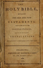
Search results from Open Library.
Recent natural events nearby
- Wildfire Twin Butte Ck, Corson, South DakotaWildfires · 2026-07-27 · 199 mi
- Wildfire Duhamel, Pennington, South DakotaWildfires · 2026-07-29 · 226 mi
- Wildfire Potato Creek, Jackson, South DakotaWildfires · 2026-08-01 · 238 mi
- Wildfire Potato Creek, Jackson, South DakotaWildfires · 2026-07-27 · 238 mi
- Wildfire Fairpoint, Meade, South DakotaWildfires · 2026-07-27 · 249 mi
Wildfires, storms and other events from NASA EONET (last 12 months, within 250 mi).
Ground air-quality sensors
Recently spotted species
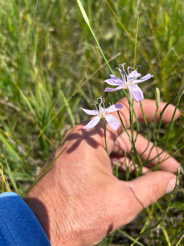
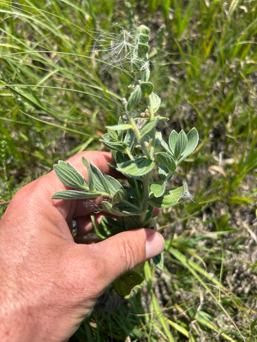
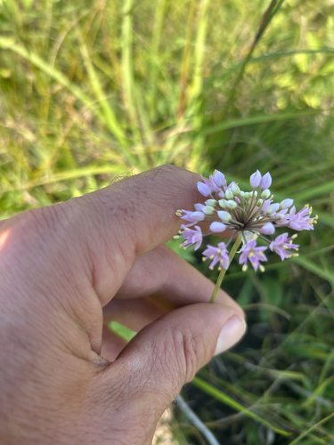
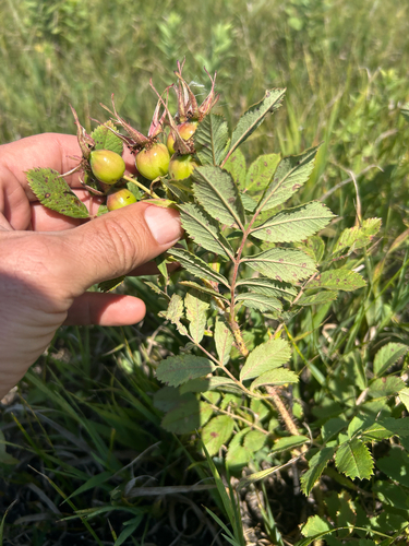
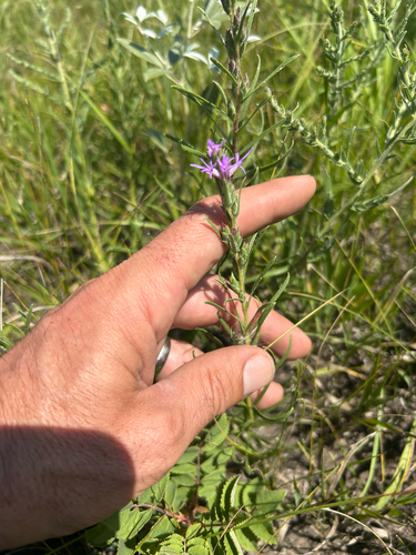
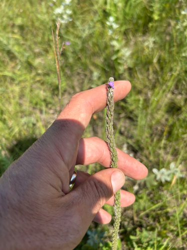
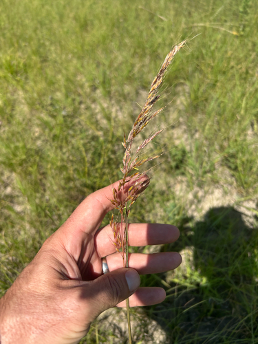
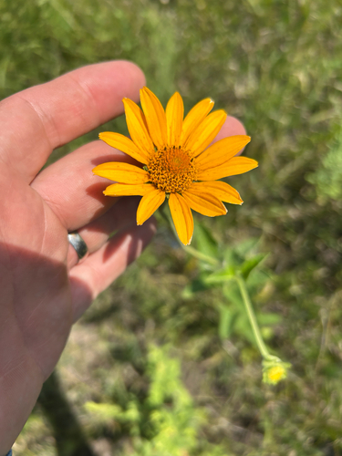
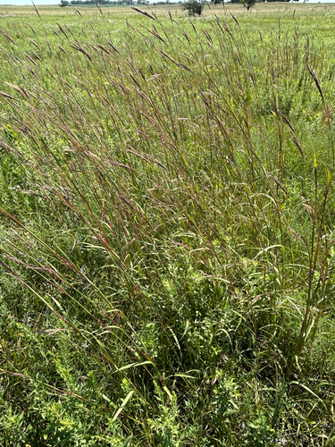
Research-grade observations from iNaturalist (within ~15 mi).
Nearest stream gauge
Live readings from USGS NWIS · measured 2026-09-24 12:00 UTC.
Events
Gallery
Sources
- • Wikipedia
- • US Census Bureau (ACS 5-year estimates)
- • NOAA National Weather Service
- • Wikidata
- • USGS Earthquake Catalog (global feed)
- • USGS NWIS (water data)
- • GBIF (Global Biodiversity Information Facility)
- • iNaturalist
- • Open-Elevation
- • Open-Meteo / sunrise-sunset.org
- • Wikipedia Pageviews API
- • Open Library
- • NASA EONET