Browse / United States / South Dakota / Newdale Colony
Newdale Colony
South DakotaCDP
Total population
0
Median home value
$0
Median income
$0
Air quality index
Demographic figures from US Census Bureau · ACS 5-year estimates. Overview below cites Wikipedia and may reference a different year.
City facts
Overview
Newdale Colony sits in South Dakota, United States and is identified as a census-designated community. Newdale Colony maps to 44.290°, -96.524° — squarely within the temperate belt. Up-to-date population figures for this locality are not available in the open datasets we monitor. The latitude suggests four distinct seasons with warm summers and cold winters. The census-designated community extends across a compact 0.4 km². Solar-resource estimates put the area at about 1,469 kWh/m² of solar irradiance per year with sunshine for roughly 58% of daylight hours. Open-data panels below dive into population trends, climate normals, environmental indicators and nearby places.
Summary composed automatically from structured open data on this page. See our Terms for details.
History & geography
Demographics & economy
Source: US Census Bureau — American Community Survey, 5-year estimates.
Geography
Coordinates & boundaries from the US Census TIGER/Line shapefiles.
Climate
Air quality
Current readings from Open-Meteo Air Quality API (Copernicus CAMS European reanalysis).
Industrial & pollution facilities
Natural hazard risk
Health (adults)
Walkability
Amenities nearby
Wildlife & biodiversity
Most-observed species
- American RobinTurdus migratorius Linnaeus, 1766 · Aves967
- Black-capped ChickadeePoecile atricapillus (Linnaeus, 1766) · Aves811
- House FinchHaemorhous mexicanus (P.L.Statius Müller, 1776) · Aves632
- Downy WoodpeckerDryobates pubescens (Linnaeus, 1766) · Aves625
- Northern CardinalCardinalis cardinalis (Linnaeus, 1758) · Aves607
- Blue JayCyanocitta cristata (Linnaeus, 1758) · Aves576
- Mourning DoveZenaida macroura (Linnaeus, 1758) · Aves569
- Common GrackleQuiscalus quiscula (Linnaeus, 1758) · Aves566
Citizen-science & research observations from the Global Biodiversity Information Facility (GBIF).
Schools
Earthquake history
Most recent
- M 2.7 — 2023-10-193 km E of Humboldt, South Dakota
- M 3.1 — 2005-10-197 km N of Howard, South Dakota
Events from the USGS Earthquake Catalog (global) (FDSN Event Web Service).
Photos
Sights & places nearby
Notable people from here
Nearby places in South Dakota
- Elkton4.4 mi away · pop. 977
- Rolland Colony5 mi away
- Norfeld Colony9.3 mi away
- Brookings13 mi away · pop. 23,948
- Pleasant Valley Colony16.2 mi away
- Astoria18.5 mi away · pop. 142
- Volga19.8 mi away
- Colman25.6 mi away · pop. 948
- Sinai25.9 mi away
- Nunda26.1 mi away · pop. 40
- Trent27.3 mi away
- Spring Lake Colony32.4 mi away
Geography & sun
Elevation, sunrise/sunset and daylight from Open-Meteo. Solar climatology from NASA POWER.
Nearby airports
Public attention
Pageview totals from the Wikimedia Pageviews API.
Books about this place
Recent natural events nearby
Ground air-quality sensors
Recently spotted species
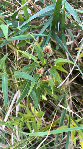
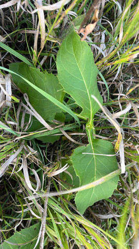
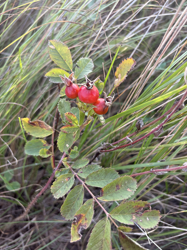
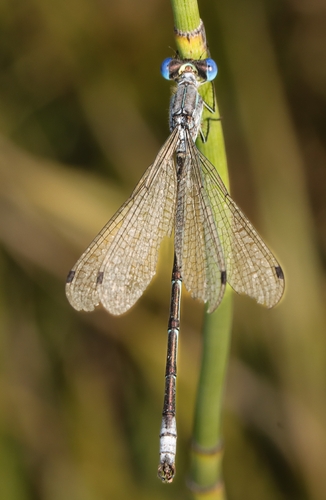
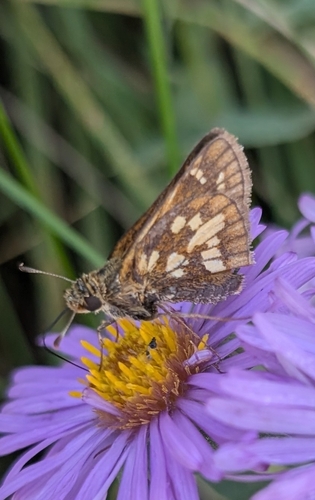
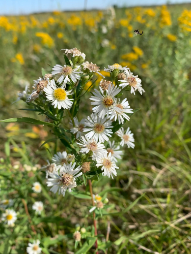
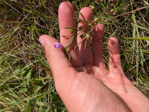
Research-grade observations from iNaturalist (within ~15 mi).
Nearest stream gauge
Events
Gallery
Sources
- • US Census Bureau (ACS 5-year estimates)
- • Open-Meteo Air Quality (CAMS)
- • USGS Earthquake Catalog (global feed)
- • GBIF (Global Biodiversity Information Facility)
- • iNaturalist
- • Open-Meteo / sunrise-sunset.org
- • Wikipedia Pageviews API