Browse / United States / South Dakota / Rosholt
Rosholt
South Dakotatown

Rosholt
Total population
428
Median home value
$116,400
Bachelor's+
Median income
$64,861
Founded
1913
Air quality index
Demographic figures from US Census Bureau · ACS 5-year estimates. Overview below cites Wikipedia and may reference a different year.
City facts
Facts from Wikidata (CC0).
Overview
Rosholt is a town in Roberts County, South Dakota, United States. The population was 379 at the 2020 census. Rosholt was laid out in 1913 and named in honor of Julius Rosholt, who was credited with bringing the railroad to town.
Read more on WikipediaHistory & geography
Geography
According to the United States Census Bureau, the town has a total area of , all land.
Excerpted from the corresponding Wikipedia article (CC BY-SA).
Demographics & economy
Race & ethnicity
Source: US Census Bureau — American Community Survey, 5-year estimates.
Geography
Coordinates & boundaries from the US Census TIGER/Line shapefiles.
Climate
Current forecast
Forecast for Rosholt, SD from NOAA NWS API.
Air quality
Current readings from Open-Meteo Air Quality API (Copernicus CAMS European reanalysis).
Industrial & pollution facilities
Natural hazard risk
Health (adults)
Age-adjusted prevalence estimates from CDC PLACES (latest release).
Walkability
Amenities nearby
Wildlife & biodiversity
Most-observed species
- Red-winged BlackbirdAgelaius phoeniceus (Linnaeus, 1766) · Aves345
- Canada Goose (canadensis Group)Branta canadensis (Linnaeus, 1758) · Aves310
- MallardAnas platyrhynchos Linnaeus, 1758 · Aves289
- Common GrackleQuiscalus quiscula (Linnaeus, 1758) · Aves251
- American RobinTurdus migratorius Linnaeus, 1766 · Aves239
- KilldeerCharadrius vociferus Linnaeus, 1758 · Aves214
- Mourning DoveZenaida macroura (Linnaeus, 1758) · Aves201
- Blue-winged TealSpatula discors (Linnaeus, 1766) · Aves176
Citizen-science & research observations from the Global Biodiversity Information Facility (GBIF).
Schools
Largest nearby schools
- Rosholt Elementary - 02Elementary · Rosholt · 84 students · 12:1 ratio
- Rosholt High School - 01High · Rosholt · 72 students · 12:1 ratio
- Rosholt Middle School - 04Middle · Rosholt · 55 students · 13.8:1 ratio
- White Rock Colony Elementary - 03Elementary · Rosholt · 20 students · 10:1 ratio
Public K–12 schools within ~10 mi from Urban Institute Education Data Portal (NCES Common Core of Data, 2022).
Earthquake history
Most recent
- M 2.5 — 2011-04-29Minnesota
Events from the USGS Earthquake Catalog (global) (FDSN Event Web Service).
Photos
Sights & places nearby
Notable people from here
Nearby places in South Dakota
- New Effington8.8 mi away · pop. 269
- Clear Lake32.1 mi away · pop. 41
- Lake City34.3 mi away · pop. 40
- Eden37.4 mi away · pop. 221
- Roslyn44.7 mi away · pop. 147
- Pierpont59 mi away · pop. 161
- Andover64.8 mi away · pop. 31
- Gary75.3 mi away · pop. 246
- Claremont Colony80.4 mi away
- Prairiewood Village85.1 mi away · pop. 474
- Astoria90.9 mi away · pop. 142
- Fordham Colony95 mi away
Geography & sun
Elevation, sunrise/sunset and daylight from Open-Meteo. Solar climatology from NASA POWER.
Nearby airports
Public attention
Pageview totals from the Wikimedia Pageviews API.
Books about this place
Recent natural events nearby
- Wildfire Twin Butte Ck, Corson, South DakotaWildfires · 2026-07-27 · 247 mi
Wildfires, storms and other events from NASA EONET (last 12 months, within 250 mi).
Ground air-quality sensors
Recently spotted species
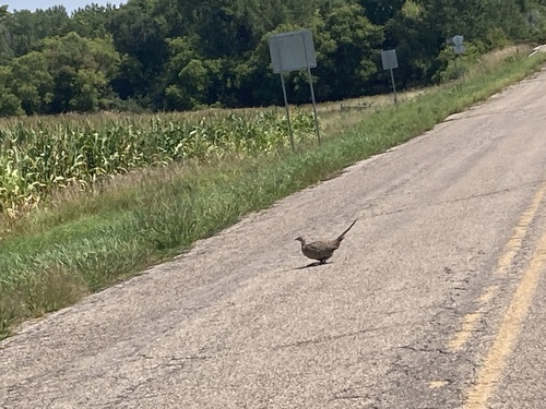
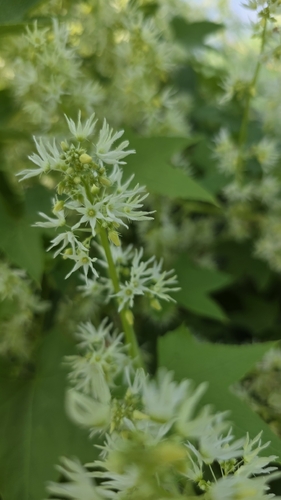
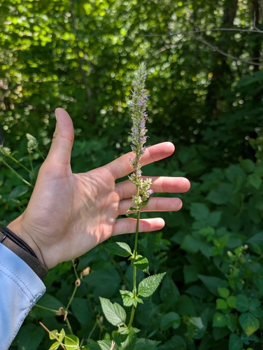
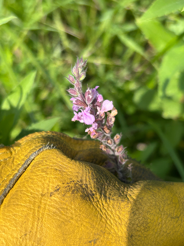
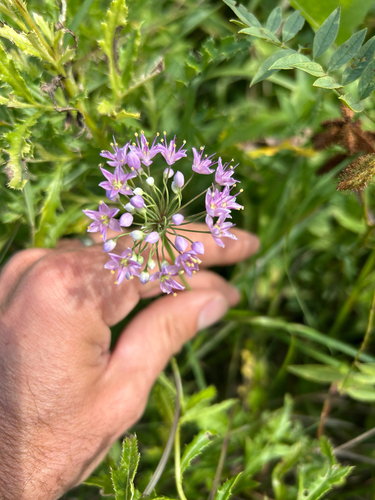
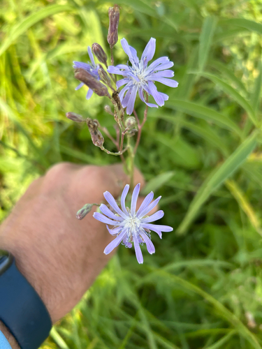
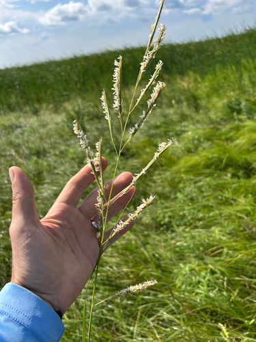
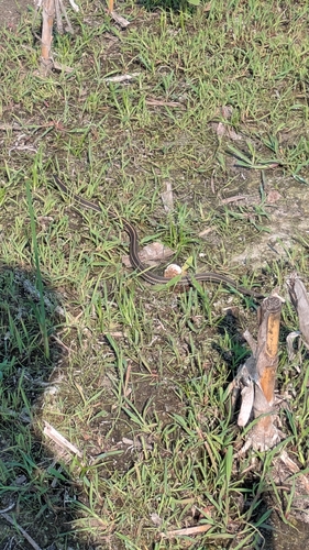
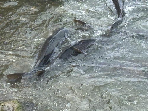
Research-grade observations from iNaturalist (within ~15 mi).
Nearest stream gauge
Live readings from USGS NWIS · measured 2026-10-18 20:30 UTC.
Events
Gallery
Sources
- • Wikipedia
- • US Census Bureau (ACS 5-year estimates)
- • NOAA National Weather Service
- • Wikidata
- • Open-Meteo Air Quality (CAMS)
- • USGS Earthquake Catalog (global feed)
- • USGS NWIS (water data)
- • NCES via Urban Institute Education Data Portal
- • GBIF (Global Biodiversity Information Facility)
- • iNaturalist
- • CDC PLACES
- • Open-Meteo / sunrise-sunset.org
- • Wikipedia Pageviews API
- • NASA EONET