Browse / Sweden / Södermanland / Nyköping
Nyköping
Södermanlandcity

Nyköping
Total population
29,891
Founded
1187
Demographic figures from Statistics Sweden (SCB). Overview below cites Wikipedia and may reference a different year.
City facts
Facts from Wikidata (CC0).
Overview
Nyköping is a locality and the seat of Nyköping Municipality, Södermanland County, Sweden, with 32,759 inhabitants as of 2017. The city is also the capital of Södermanland County.
Read more on WikipediaHistory & geography
History
The area bears traces of settlers since around 2000 BC. In the early medieval age, around 1000 AD, Nyköping was a capital of one of the many Swedish petty kingdoms. In the 13th century, construction on the Nyköping Fortress begun; the following century it became the strongest fortress in the country. The coat of arms probably depicts the fortress, or one of its towers. In 1317, the Nyköping Banquet took place, a renowned episode in Sweden's history, when King Birger of Sweden captured his two brothers as revenge for earlier sufferings and had them imprisoned without food until they starved to death (See Nyköpings gästabud). The earliest known charter dates from 1444, making it one of the now defunct Cities in Sweden. In the 16th century, Nyköping became the seat of Duke Charles, who later became Charles IX of Sweden. With the status of a Royal residential seat, Nyköping was at its peak of development. In 1665 large parts of the city including the fortress were damaged in a fire. The same thing happened again in 1719 when Russian troops invaded the city. It was then rebuilt with its current street plan. Nyköping was industrialized relatively early compared to the rest of Sweden. In the early 19th century, textile industry was established, and the population soon rose as Nyköping's industry grew. In 1879, C.A. Wedholms mejerikärlsfabrik was founded, starting to produce milk churns. Wedholms still has activity in Nyköping and is a milk cooling tank manufacturer. Nyköping was the town where Nordiska Kompaniet had its furniture factory. The business created a spin-off named ANA, which licence-built American and English cars, as Plymouth, De Soto, Hillman and Sunbeam. The company was later purchased by Saab Automobile and led to SAAB becoming the largest employer in the…
Geography
Nyköping lies about south-west of the capital Stockholm along the Baltic Sea. It is roughly north-east of Norrköping, both cities being accessible by highway-divided motorway. It is also about south of Eskilstuna; the largest settlement of the county. The northern areas of the city is on exactly the same parallel of 58° 46' N as Canadian "polar bear capital of the world" Churchill, demonstrating how warm the climate is in comparison in spite of its northerly latitude. The southern edge of the municipality also straddles the same parallel as the northernmost point of mainland Scotland at Thurso – that has a much more narrower range of temperature. The southern edge of the municipality is the southernmost point of Svealand, the middle of Sweden's traditional three crown lands that once formed the country. The city is located at a few miles more southerly latitude than the country's northernmost west coast town of Strömstad. The line of 17°E goes through Nyköping, thus the city is eight minutes ahead in solar time of the GMT +1 line that Sweden follows for its time zone. Nyköping is the exodus of a small river named Nyköpingsån (Nyköping River), which runs through the city centre, dividing the city into a natural eastern and western part. Due to the narrowness of the river, there are a full seven crossings available for automobile traffic, one of them being for the E4. For pedestrians and bikers, an additional seven bridges are available, and in addition to that there is also one bridge for train traffic. All automobile bridges except E4 also carry pedestrian sidewalks, which means transport is seldom made longer than the actual distance. There is also a small pedestrian bridge in an unpopulated nature reserve called Hållet that is very close to the E4 route. The…
Excerpted from the corresponding Wikipedia article (CC BY-SA).
Geography
Coordinates & boundaries from the US Census TIGER/Line shapefiles.
Climate
Air quality
Walkability
Amenities nearby
Wildlife & biodiversity
Most-observed species
- Great TitParus major Linnaeus, 1758 · Aves17,992
- Eurasian Blue TitCyanistes caeruleus (Linnaeus, 1758) · Aves14,750
- Eurasian BlackbirdTurdus merula Linnaeus, 1758 · Aves13,822
- Common Wood-PigeonColumba palumbus Linnaeus, 1758 · Aves10,974
- Hooded CrowCorvus cornix Linnaeus, 1758 · Aves10,682
- Great Spotted WoodpeckerDendrocopos major (Linnaeus, 1758) · Aves10,048
- Eurasian SiskinSpinus spinus (Linnaeus, 1758) · Aves9,980
- MallardAnas platyrhynchos Linnaeus, 1758 · Aves9,964
Citizen-science & research observations from the Global Biodiversity Information Facility (GBIF).
Earthquake history
Most recent
- M 2.5 — 2005-05-126 km E of Dalarö, Sweden
Events from the USGS Earthquake Catalog (global) (FDSN Event Web Service).
Photos
Sights & places nearby
Notable people from here


People born within ~10 km, from Wikidata (CC0). Click any name for their Wikipedia article.
Nearby places in Södermanland
Geography & sun
Elevation, sunrise/sunset and daylight from Open-Meteo. Solar climatology from NASA POWER.
Nearby airports
Public attention
Pageview totals from the Wikimedia Pageviews API.
Books about Nyköping
Search results from Open Library.
Recent natural events nearby
Ground air-quality sensors
Recently spotted species
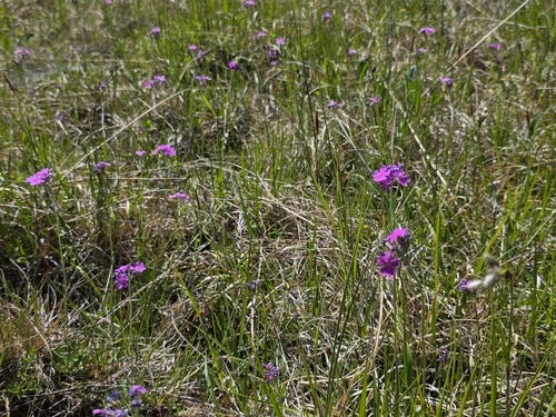
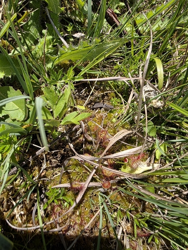
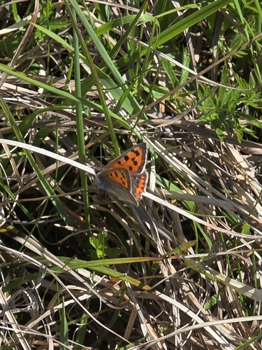
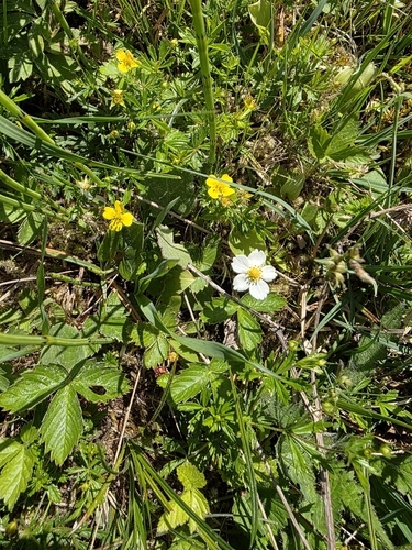
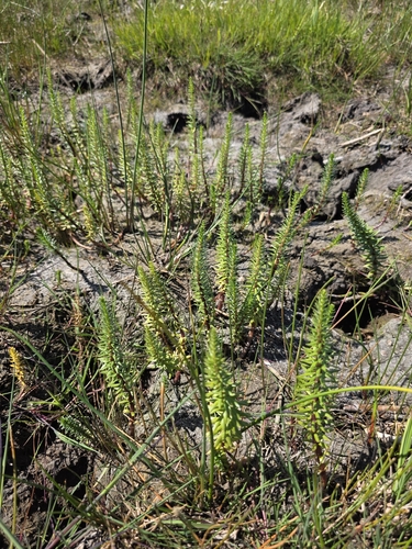
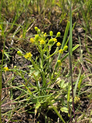
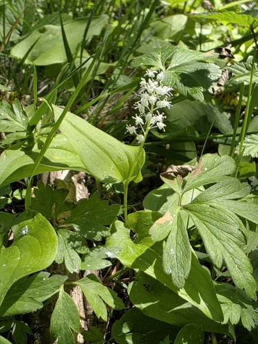
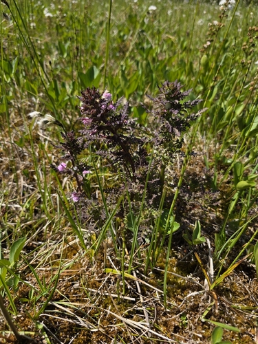
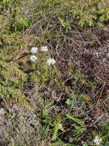
Research-grade observations from iNaturalist (within ~15 mi).
Events
Notable, recurring, and historical events associated with Nyköping, sourced from Wikidata.
- Nyköpings GästabudJan 1, 1942annual event
Source: Wikidata (CC0).
Gallery
Geotagged photos within ~6 miles of Nyköping, from Wikimedia Commons contributors.
 0 mi
0 mi 0 mi
0 mi 0 mi
0 mi 0 mi
0 mi 0 mi
0 mi 0 mi
0 mi 0 mi
0 mi 0 mi
0 mi 0.1 mi
 0.1 mi
 0.1 mi
 0.1 mi
 0.1 mi
 0.1 mi
 0.1 mi
 0.1 mi
 0.1 mi
 0.1 mi
 0.1 mi
 0.1 mi
 0.1 mi
 0.1 mi
 0.1 mi
 0.1 mi
Photos via Wikimedia Commons — see each image page for license & attribution.
Official Identifiers
SCB — Statistics Sweden
- Kommunkod
- 0480
- Population (Wikidata)
- 58,255
- Wikidata
- Q500267
Kommunkod via Wikidata P525
Sources
- • Wikipedia
- • Wikimedia Commons
- • Wikidata
- • USGS Earthquake Catalog (global feed)
- • GBIF (Global Biodiversity Information Facility)
- • iNaturalist
- • Open-Meteo / sunrise-sunset.org
- • Wikipedia Pageviews API
- • Open Library
- • SCB — Statistics Sweden — Kommunkod via Wikidata P525