Browse / Singapore / Singapore / Bukit Batok
Bukit Batok
Singaporesuburb

Bukit Batok
Founded
1975
Demographic figures from Singapore Department of Statistics. Overview below cites Wikipedia and may reference a different year.
City facts
Facts from Wikidata (CC0).
Overview
Bukit Batok, often abbreviated as Bt Batok, is a planning area and residential town located in the eastern part of the West Region of Singapore. Bukit Batok statistically ranks in as the 25th largest, the 10th most populous and the 9th most densely populated planning area in Singapore. It is bordered by six other planning areas - Choa Chu Kang to the north and northwest, Bukit Panjang to the northeast and east, Clementi to the south, Bukit Timah to the southeast, Jurong East to the southwest and Tengah to the west.
Read more on WikipediaHistory & geography
History
Before the 1940s, Bukit Batok was heavily dominated by rubber and pineapple plantations. At the start of the 1940s, industrialization began to gradually occur in Bukit Timah. Ford Factory was one of the first factories to be built along Bukit Timah road near the current day's site. During the battle of Singapore in World War II, Bukit Batok became a significant ground for both the Allied and Axis powers. Consequently, the British's plans to industrialize Bukit Timah was short-lived and put to an abrupt halt during World War II. The factories that were built before 1942 were swiftly taken over by the Japanese during their occupation of Singapore. Ford Factory, which sits at the bottom of the Bukit Batok Hill, was occupied by Nissan, the Japanese Multination Corporation, to supply military vehicles for the Imperial Japanese Army Force. Both Bukit Batok hill (current day Bukit Batok Nature Park) and Bukit Timah hill were considered as strategic hill grounds during the Japanese occupation. These locations were key to controlling the surrounding areas and thus were the site of the fiercest battles of the war. Following the successful conquest of Singapore, General Yamashita ordered 500 Australian prisoners of war to construct a Japanese war memorial, Syonan Chureito shrine, at the top of Bukit Batok Hill. Throughout the Japanese occupation, the Japanese officials and military personnel would frequently worship their emperor in the Syonan Chureito shrine. In addition, footages of these ceremonies would be broadcast as propaganda in Japan to ensure the citizens’ continuous support for the war. However, the shrine was ultimately destroyed by the Japanese themselves at the end of the World War II as they feared that the honour of the memorial would be tarnished by the…
Geography
Bukit Batok Planning Area is bordered by six other planning areas - Choa Chu Kang to the north and northwest, Bukit Panjang to the northeast and east, Clementi to the south, Bukit Timah to the southeast, Jurong East to the southwest and Tengah to the west. Bukit Batok New Town is located within Bukit Batok Planning Area. Bukit Batok Planning Area is divided into nine subzones: {| class="wikitable" |- !Estate !Location !Notable places !Accessibility |- |Brickworks |Areas bounded by Bukit Batok Road, Bukit Batok West Avenue 2 and Bukit Batok West Avenue 3 |Millennia Institute, Dulwich College Singapore and Bukit Batok Hillside Park |Buses and Tengah Park MRT station (future) |- |Bukit Batok Central |Areas bounded by Bukit Batok West Avenue 6, Bukit Batok West Avenue 3, Bukit Batok Central, Bukit Batok East Avenue 3 and Bukit Batok East Avenue 6 |Bukit Batok MRT station, Bukit Batok Bus Interchange, Bukit Batok Community Club, Bukit Batok Library, West Mall, Bukit Batok Polyclinic, Bukit View Secondary School, Keming Primary School, Ling Hong Tong and Bukit Batok Joint Temple |Bukit Batok MRT station and buses |- |Bukit Batok East |Areas bounded by Bukit Batok East Avenue 2, Bukit Batok East Avenue 3, Bukit Batok East Avenue 4, Bukit Batok East Avenue 5 and Bukit Batok East Avenue 6 |Bukit Batok East Community Club and Bukit Batok Neighbourhood Police Centre, Hock Thong Temple, See Thian Foh Temple and Masjid Ar-Raudhah Mosque |Buses |- |Bukit Batok South |Areas bounded by Bukit Batok East Avenue 1, 3 and 6; the Pan-Island Expressway, Toh Tuck Road and the western side of the landed houses along Jalan Jurong Kechil |Bukit Batok Swimming Complex and Bukit Batok Bus Depot |Buses |- |Bukit Batok West |Areas bounded by Bukit Batok Road, Bukit Batok West Avenue 3, Bukit…
Excerpted from the corresponding Wikipedia article (CC BY-SA).
Geography
Coordinates & boundaries from the US Census TIGER/Line shapefiles.
Climate
Air quality
Walkability
Amenities nearby
Wildlife & biodiversity
Most-observed species
- Javan MynaAcridotheres javanicus Cabanis, 1851 · Aves32,816
- Yellow-vented BulbulPycnonotus goiavier (Scopoli, 1786) · Aves28,182
- Black-naped OrioleOriolus chinensis Linnaeus, 1766 · Aves25,359
- Spotted DoveSpilopelia chinensis (Scopoli, 1786) · Aves23,836
- Pink-necked PigeonTreron vernans (Linnaeus, 1771) · Aves23,363
- Asian Glossy StarlingAplonis panayensis (Scopoli, 1786) · Aves20,326
- Red JunglefowlGallus gallus (Linnaeus, 1758) · Aves19,683
- House CrowCorvus splendens Vieillot, 1817 · Aves19,578
Citizen-science & research observations from the Global Biodiversity Information Facility (GBIF).
Earthquake history
Events from the USGS Earthquake Catalog (global) (FDSN Event Web Service).
Photos
Sights & places nearby
Notable people from here


People born within ~10 km, from Wikidata (CC0). Click any name for their Wikipedia article.
Nearby places in Singapore
- Pasābandar3261.8 mi away · pop. 1,093
- Pishin3270.9 mi away · pop. 14,000
- Nowbandiyan3287 mi away
- Rasak3295.2 mi away · pop. 10,115
- Firuz Abad3295.4 mi away · pop. 1,997
- Hit3305.8 mi away · pop. 2,454
- Sarbaz3314.6 mi away · pop. 1,500
- Tis3315.3 mi away · pop. 6,348
- Pozm-e Tiab3332.6 mi away
- Nik Shahr3361.9 mi away · pop. 17,732
- Iranshahr3363 mi away · pop. 113,750
- Khash3363.7 mi away · pop. 55,000
Geography & sun
Elevation, sunrise/sunset and daylight from Open-Meteo. Solar climatology from NASA POWER.
Nearby airports
Public attention
Pageview totals from the Wikimedia Pageviews API.
Books about Bukit Batok

Search results from Open Library.
Recent natural events nearby
Ground air-quality sensors
Recently spotted species
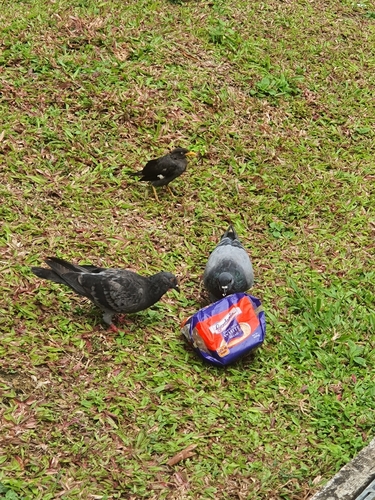
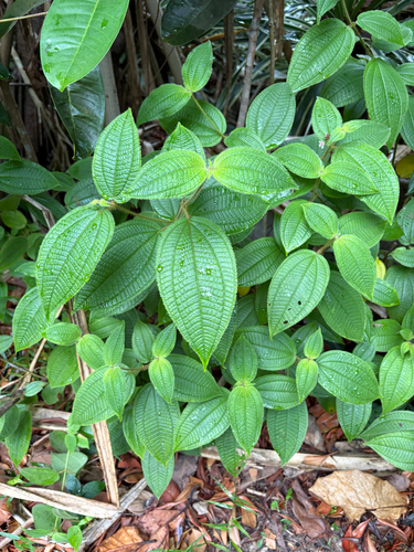
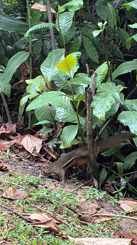
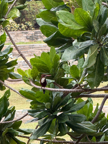
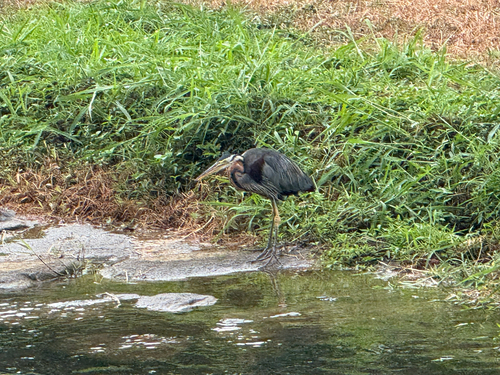
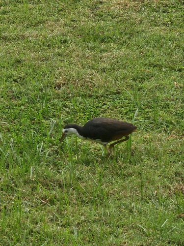
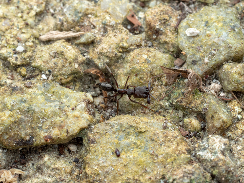
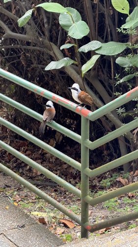
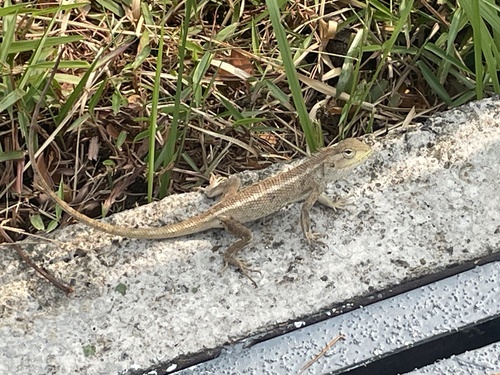
Research-grade observations from iNaturalist (within ~15 mi).
Events
Gallery
Sources
- • Wikipedia
- • Wikidata
- • USGS Earthquake Catalog (global feed)
- • GBIF (Global Biodiversity Information Facility)
- • iNaturalist
- • Open-Meteo / sunrise-sunset.org
- • Wikipedia Pageviews API
- • Open Library
- • Wikidata SPARQL (CC0) — population, area, elevation, inception, head of government, Commons image