Browse / Singapore / Singapore / Outram
Outram
Singaporesuburb

Outram
Demographic figures from Singapore Department of Statistics. Overview below cites Wikipedia and may reference a different year.
City facts
Facts from Wikidata (CC0).
Overview
Outram is a planning area located within the Central Area of the Central Region of Singapore. The area is bordered by these planning areas: Singapore River to the north, the Downtown Core to the east and south, and Bukit Merah to the west. Outram comprises four subzones, China Square, Chinatown, People's Park and Pearl's Hill.
Read more on WikipediaHistory & geography
History
Known as si pai poh in Hokkien, which means "Sepoy plain". The Sepoy Lines and police station and parade ground are at one end of Outram Road. Both designations of Sepoy Plain and Sepoy Lines refer to the public shooting of 47 sepoys at the wall of Outram Prison in 1915. This was in the aftermath of the 1915 Singapore Mutiny, which was quelled by local and British military forces. Outram was once home to one of the earliest civil prisons in Singapore, Outram Prison. Located at the foot of Pearl's Hill, it was built in 1847 by Charles Edward Faber of the Madras Engineers. During the Japanese occupation in 1942, Outram Prison was briefly controlled by the Japanese and was used to hold prisoners of war. The prison was subsequently handed to the British forces following the end of the occupation. Outram Prison was eventually demolished in 1966 to make way for a housing project, Outram Park Complex, which was completed in 1970. It consisted of twelve 16-storey blocks together with a shopping complex. Outram Park Complex was selected for SERS in 1998 and was demolished by 2003, with its residents being relocated to Cantonment Towers in Everton Park. The land currently remains vacant and there are plans to revitalise Pearl's Hill, which includes building an integrated mixed-use development consisting of 6000 residential units, by the 2030s.
Excerpted from the corresponding Wikipedia article (CC BY-SA).
Geography
Coordinates & boundaries from the US Census TIGER/Line shapefiles.
Climate
Air quality
Walkability
Amenities nearby
Wildlife & biodiversity
Earthquake history
Photos
Sights & places nearby
Notable people from here


People born within ~10 km, from Wikidata (CC0). Click any name for their Wikipedia article.
Nearby places in Singapore
Geography & sun
Elevation, sunrise/sunset and daylight from Open-Meteo. Solar climatology from NASA POWER.
Nearby airports
Public attention
Pageview totals from the Wikimedia Pageviews API.
Books about Outram

Search results from Open Library.
Recent natural events nearby
Ground air-quality sensors
Recently spotted species
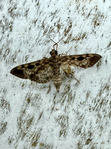
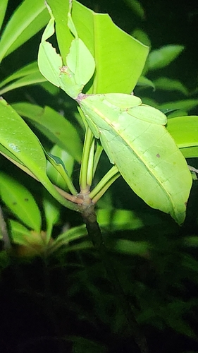
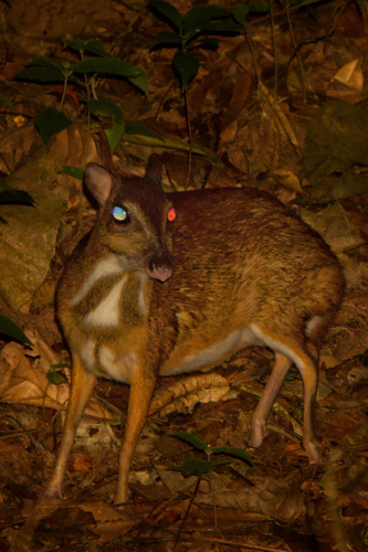
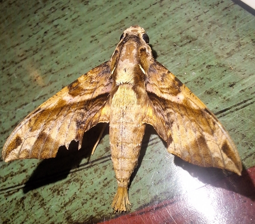
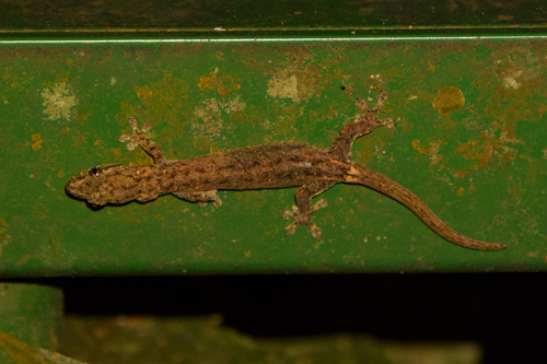
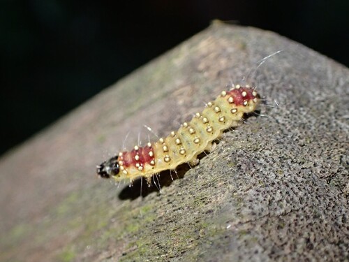
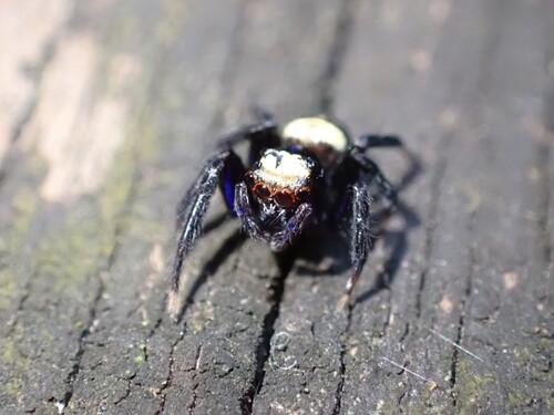
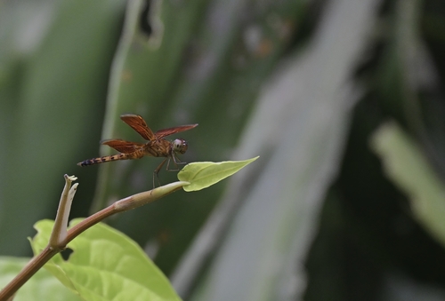
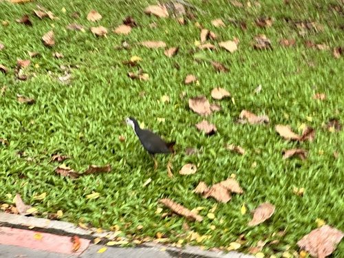
Research-grade observations from iNaturalist (within ~15 mi).
Events
Gallery
Geotagged photos within ~6 miles of Outram, from Wikimedia Commons contributors.
 0 mi
0 mi.jpg) 0 mi
0 mi 0 mi
0 mi 0 mi
0 mi 0 mi
0 mi 0 mi
0 mi.jpg) 0.1 mi
0.1 mi.jpg) 0.1 mi
0.1 mi.jpg) 0.1 mi
0.1 mi 0.1 mi
.jpg) 0.1 mi
0.1 mi.jpg) 0.1 mi
0.1 mi.jpg) 0.1 mi
0.1 mi 0.1 mi
.jpg) 0.1 mi
0.1 mi.jpg) 0.1 mi
0.1 mi.jpg) 0.1 mi
0.1 mi.jpg) 0.1 mi
0.1 mi 0.1 mi
 0.1 mi
 0.1 mi
 0.1 mi
 0.1 mi
.jpg) 0.1 mi
0.1 miPhotos via Wikimedia Commons — see each image page for license & attribution.
Sources
- • Wikipedia
- • Wikimedia Commons
- • Wikidata
- • iNaturalist
- • Open-Meteo / sunrise-sunset.org
- • Wikipedia Pageviews API
- • Open Library
- • Wikidata SPARQL (CC0) — population, area, elevation, inception, head of government, Commons image