Browse / Slovenia / Slovenia / Nova Gorica
Nova Gorica
Sloveniatown

Nova Gorica
Total population
13,500
Demographic figures from Statistical Office of Slovenia. Overview below cites Wikipedia and may reference a different year.
City facts
Facts from Wikidata (CC0).
Overview
Nova Gorica is a town in western Slovenia, on the border with Italy. It is the seat of the Municipality of Nova Gorica.
Read more on WikipediaHistory & geography
History
In 1947, following World War II, Italy signed a peace treaty with the Allies, including Socialist Yugoslavia. The treaty transferred most of the Slovene-inhabited areas of the Province of Gorizia to Yugoslavia. The town of Gorizia itself, however, remained under Italian rule. The new border just to the west of the Bohinj Railway cut the city off from its northern and eastern suburbs. Around 40% of the municipality's territory was transferred to Yugoslavia, including the suburbs of Solkan, Šempeter, Kromberk, Rožna Dolina, and Pristava. Together, these areas had a population of around 10,000 (almost exclusively Slovenes, with a tiny Friulian-speaking minority), or around one fifth of the municipality's population. However, they lacked a cohesive structure, and were poorly connected. In order to overcome this problem, the Communist authorities of the Socialist Republic of Slovenia decided to build a new settlement that would connect these suburbs into a new urban space. The new town was called Nova Gorica or "New Gorizia" and the Gorizia Montesanto railway station also named Nova Gorica. The project had the personal backing of Marshal Tito, Yugoslavia's Communist leader. The project was commissioned to the Slovenian architect Edvard Ravnikar, a former pupil of Le Corbusier. The first projects were laid out in winter of 1947, and the construction began at the beginning of the following year. The city was formally established as an urban municipality in 1952, incorporating the older settlements of Solkan, Kromberk and Rožna Dolina, which thus became, somewhat reluctantly, suburbs of Nova Gorica. The building of the town continued throughout the 1950s and 1960s, reaching the current extent by the mid-1980s. In the early 1990s, all of the aforementioned older suburbs…
Excerpted from the corresponding Wikipedia article (CC BY-SA).
Geography
Coordinates & boundaries from the US Census TIGER/Line shapefiles.
Climate
Air quality
Walkability
Amenities nearby
Wildlife & biodiversity
Earthquake history
Photos
Sights & places nearby
Notable people from here


People born within ~10 km, from Wikidata (CC0). Click any name for their Wikipedia article.
Nearby places in Slovenia
- Ub329.5 mi away · pop. 6,684
- Rahovec425.1 mi away · pop. 15,829
- Ain Isa1460.2 mi away · pop. 6,730
- Sangar1619.4 mi away · pop. 585
- Masrj1641.1 mi away
- Tazeh Shahr1668.3 mi away · pop. 8,629
- Ivughli1675.2 mi away · pop. 3,320
- Shendabad1714.1 mi away · pop. 8,489
- Bonab-e-Jadid1718 mi away · pop. 4,430
- Ilkhchi1737.5 mi away · pop. 15,231
- Mohammadyar1748.4 mi away · pop. 8,905
- Ajab Shir1749.1 mi away · pop. 33,606
Geography & sun
Elevation, sunrise/sunset and daylight from Open-Meteo. Solar climatology from NASA POWER.
Nearby airports
Public attention
Pageview totals from the Wikimedia Pageviews API.
Books about Nova Gorica
Search results from Open Library.
Recent natural events nearby
Ground air-quality sensors
Recently spotted species
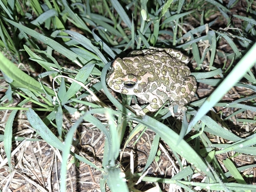
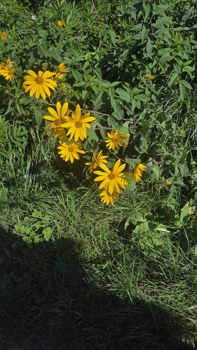
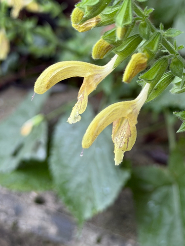


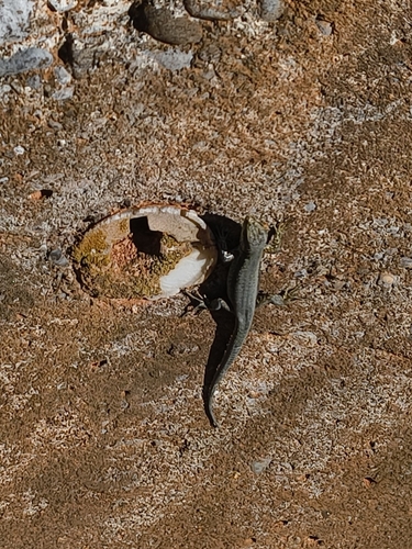

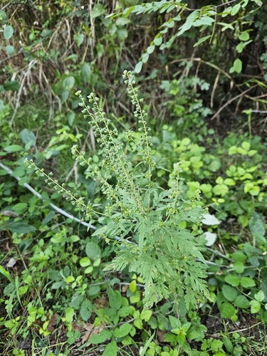
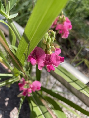
Research-grade observations from iNaturalist (within ~15 mi).
Events
Gallery
Sources
- • Wikipedia
- • Wikidata
- • iNaturalist
- • Open-Meteo / sunrise-sunset.org
- • Wikipedia Pageviews API
- • Open Library