Browse / Slovakia / Nitra / Alekšince
Alekšince
Nitravillage

Alekšince
Total population
1,704
Founded
1113
Demographic figures from Statistical Office of Slovakia. Overview below cites Wikipedia and may reference a different year.
City facts
Facts from Wikidata (CC0).
Overview
Alekšince is a village and a municipality in the Nitra District in western Slovakia, in the Nitra Region.
Read more on WikipediaHistory & geography
History
According to archeological evidence, the area was inhabited since the Paleolithic. The investigations on Maďaroš hill also revealed a settlement from the Bronze Age. Several items from the Iron Age and the Roman imperial period were discovered as well. In historical records, the village was first mentioned in 1156 when Martirius, the archbishop of Esztergom, donated church lands in 70 villages to the Esztergom canonry in order to improve the economic welfare of the canons. One the villages of the archdeaconry was "villa Alexu"- known today as Alekšince. A deed of donation from 1275 by the king Ladislaus IV of Hungary lists the first owner: knight Deuse, who died during a Tatar invasion in 1241–1242. In this deed, the village appears under the name of Elekchy. Before the establishment of independent Czechoslovakia in 1918, Alekšince was part of Nyitra County within the Kingdom of Hungary. From 1939 to 1945, it was part of the Slovak Republic.
Geography
Total area: 1507 ha *Agricultural land: 1322.8 ha *Arable land: 1255 ha *Vineyards: 68.8 ha *Non-agricultural land: 183,2 ha *Forest land: 21 ha *Built-up area: 134.2 ha
Excerpted from the corresponding Wikipedia article (CC BY-SA).
Geography
Coordinates & boundaries from the US Census TIGER/Line shapefiles.
Climate
Air quality
Walkability
Amenities nearby
Wildlife & biodiversity
Earthquake history
Photos
Sights & places nearby
Notable people from here


People born within ~10 km, from Wikidata (CC0). Click any name for their Wikipedia article.
Geography & sun
Elevation, sunrise/sunset and daylight from Open-Meteo. Solar climatology from NASA POWER.
Nearby airports
Public attention
Pageview totals from the Wikimedia Pageviews API.
Books about this place
Recent natural events nearby
Ground air-quality sensors
Recently spotted species
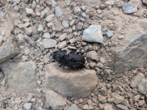
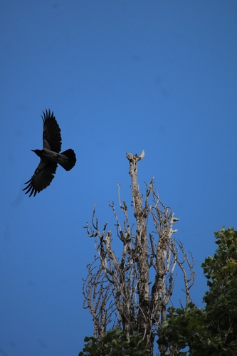
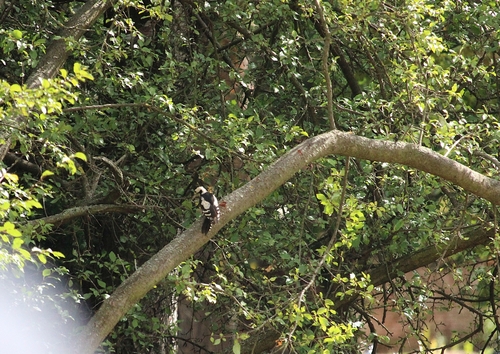
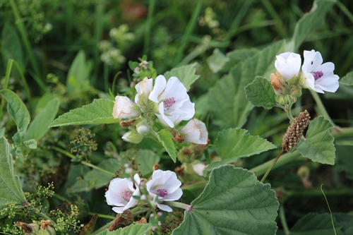
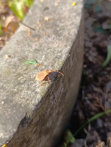
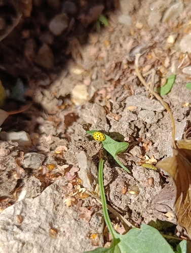
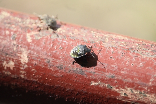

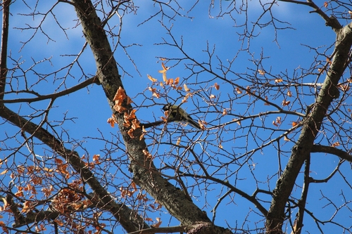
Research-grade observations from iNaturalist (within ~15 mi).
Events
Gallery
Sources
- • Wikipedia
- • Wikidata
- • iNaturalist
- • Open-Meteo / sunrise-sunset.org
- • Wikipedia Pageviews API