Browse / Slovakia / Banská Bystrica / Badín
Badín
Banská Bystricavillage

Badín
Total population
1,755
Founded
1232
Demographic figures from Statistical Office of Slovakia. Overview below cites Wikipedia and may reference a different year.
City facts
Facts from Wikidata (CC0).
Overview
Badín is a village and municipality in the Banská Bystrica District in the Banská Bystrica Region of central Slovakia. It is situated 13 km from the city of Banská Bystrica.
Read more on WikipediaHistory & geography
History
In historical records, the village was first mentioned in 1293. From 1580 to 1657 it had to pay tributes to the Ottoman Empire. In 1588, it was besieged by Turks. A lignite mine existed near the village from 1892 to the beginning of the 20th century. In 1944, the local population joined the anti-Nazi Slovak National Uprising and Badín became the headquarters of the 2nd Czechoslovak paratrooper brigade. A Catholic seminary was present in Badín from 1805 until its closure by the Communist regime in 1950. The seminary was reopened in 1990, first at Slovenská Ľupča castle and since 1993 in a newly constructed building directly in Badín by the bishop Rudolf Baláž. The modern seminary was named after the Saint Francis Xavier. In 2003 the seminary was visited by the Pope John Paul II. In 2019, the seminary was closed due to low number of students. The remaining about 20 students were transferred to a seminary in Nitra. The newly built seminary complex was built in a modern style and its chapter was decorated by the mosaic produced by Marko Rupnik.
Geography
The village lies at an altitude of 374 metres, however the altitude of the municipality ranges from 311 to 1,222 metres due to it being partly situated in the Kremnické vrchy mountains. The municipality covers an area of km2.
Excerpted from the corresponding Wikipedia article (CC BY-SA).
Geography
Coordinates & boundaries from the US Census TIGER/Line shapefiles.
Climate
Air quality
Walkability
Amenities nearby
Wildlife & biodiversity
Earthquake history
Photos
Sights & places nearby
Notable people from here
Geography & sun
Nearby airports
Public attention
Books about this place
Recent natural events nearby
Ground air-quality sensors
Recently spotted species
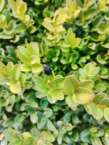
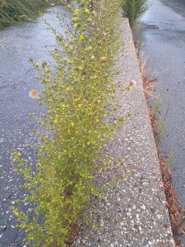
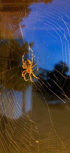
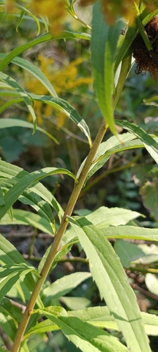
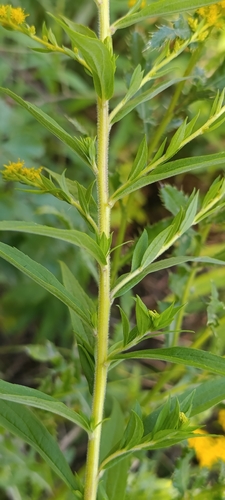
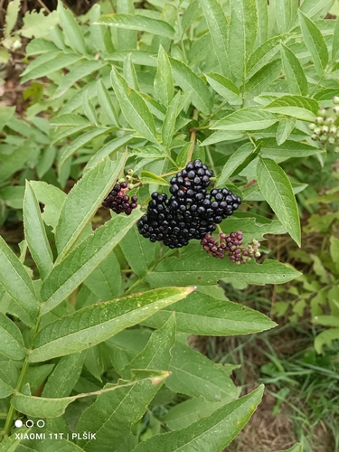
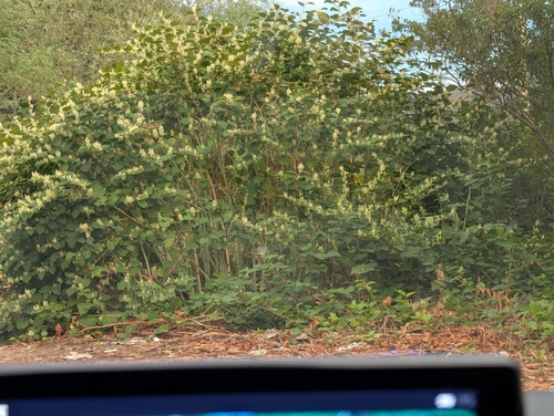
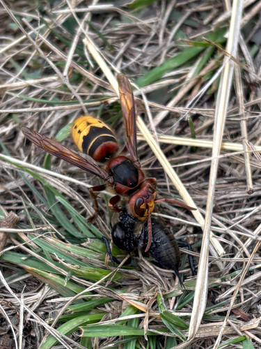
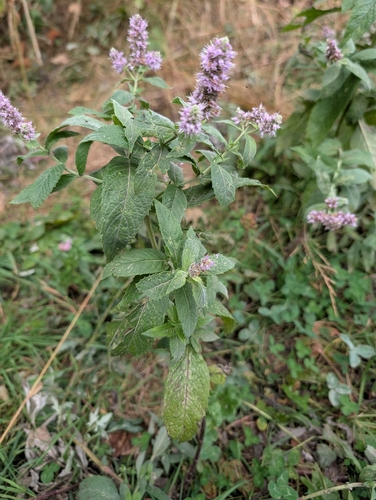
Research-grade observations from iNaturalist (within ~15 mi).
Events
Gallery
Sources
- • Wikipedia
- • Wikidata
- • iNaturalist