Browse / Slovakia / Banská Bystrica / Banská Bystrica
Banská Bystrica
Banská Bystricacity

Banská Bystrica
Total population
80,466
Demographic figures from Statistical Office of Slovakia. Overview below cites Wikipedia and may reference a different year.
City facts
Sister cities
Facts from Wikidata (CC0).
Overview
Banská Bystrica is a city in central Slovakia, located on the Hron River in a long and wide valley encircled by the mountain chains of the Low Tatras, the Veľká Fatra, and the Kremnica Mountains. With approximately 76,000 inhabitants, Banská Bystrica is the sixth most populous municipality in Slovakia. The present-day town was founded by German settlers who were invited by the Hungarian Árpád kings during the Middle Ages, but it was built upon a former Slavic/Slovak/Avar settlement. It became a part of Zólyom County after Hungarian conquest. In 1255, during the reign of Béla IV of Hungary, it obtained the municipal privileges of a free royal town of the Kingdom of Hungary and was resettled by Germans from Thüringen. The copper mining town acquired its present picturesque look in the late Middle Ages when the prosperous burghers built its central churches, mansions, and fortifications. It is the capital of the kraj and the okres. It is also the home of Matej Bel University. As a historical town with easy access to the surrounding mountains, Banská Bystrica is a popular winter and summer tourist destination.
Read more on WikipediaHistory & geography
History
The earliest history of Banská Bystrica was connected to the extraction of its abundant deposits of copper (and to a lesser extent of silver, gold, and iron). The tools used by prehistoric miners at the locality called Špania Dolina have been dated to 2000–1700 BC. People of the Lusatian culture built their settlements at Špania Dolina, Horné Pršany, Malachov, and Sásová. Ancient hill fort locations are still reflected in the local toponym Hrádok, meaning "a small fort (later: castle)". The territory was inhabited by the Celtic tribe of the Cotini (Púchov culture) in the 3rd century BC. The Germanic tribe of the Quadi took over the place during the Roman Era, leaving for instance a hoard of silver artifacts in Netopierska jaskyňa (Bat Cave). The present city was built upon a former Slavic settlement. Descendants of the German immigrants to this and other counties later became known as the Carpathian Germans. The city flourished as a regional mining center. The local craftsmen were organized in fifty guilds, with the butchers' guild being the oldest. The affluent Fugger and Thurzo families founded the prosperous Ungarischer Handel company (German for "Hungarian Trade") in 1494. Depending mainly on the mines around Banská Bystrica, the company had become a leading world producer of copper by the 16th century. With the most sophisticated mining technologies in Europe, an advanced accounting system, and benefits including medical care for its 1,000 employees, Ungarischer Handel was one of the largest and most modern early-capitalist firms. An early record of the miners' industrial action is from 1526 when the City Council needed to take refuge within the confines of City Castle. The Ottoman Empire's thrust northwards led the magistrate to improve the city's…
Geography
Banská Bystrica lies at an altitude of Banská Bystrica lies in the north temperate zone and has a continental climate with four distinct seasons. It is characterized by a significant variation between hot summers and cold, snowy winters.
Excerpted from the corresponding Wikipedia article (CC BY-SA).
Geography
Coordinates & boundaries from the US Census TIGER/Line shapefiles.
Climate
Air quality
Walkability
Amenities nearby
Wildlife & biodiversity
Earthquake history
Photos
Sights & places nearby
Notable people from here


People born within ~10 km, from Wikidata (CC0). Click any name for their Wikipedia article.
Nearby places in Banská Bystrica
Geography & sun
Elevation, sunrise/sunset and daylight from Open-Meteo. Solar climatology from NASA POWER.
Nearby airports
Public attention
Pageview totals from the Wikimedia Pageviews API.
Books about Banská Bystrica
Search results from Open Library.
Recent natural events nearby
Ground air-quality sensors
Recently spotted species
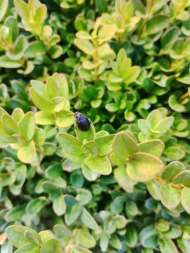
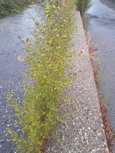
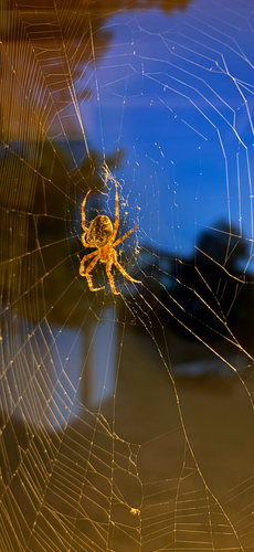
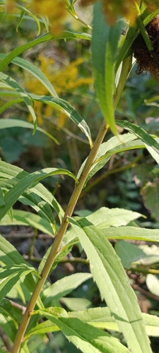
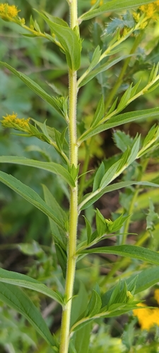
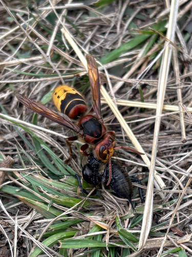
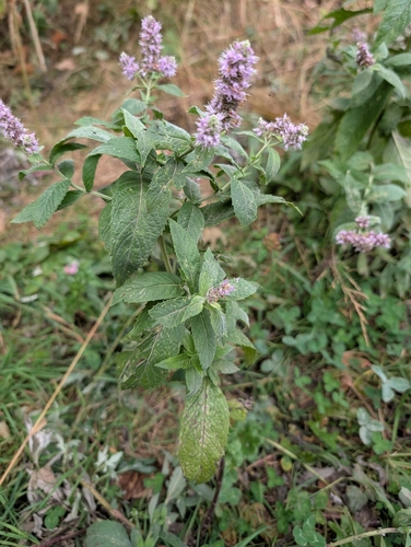
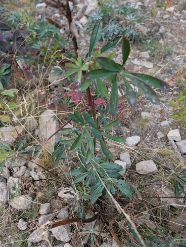
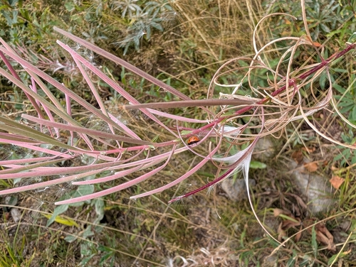
Research-grade observations from iNaturalist (within ~15 mi).
Events
Notable, recurring, and historical events associated with Banská Bystrica, sourced from Wikidata.
- Dec 23, 2024
- Aug 29, 2019
Source: Wikidata (CC0).
Gallery
Sources
- • Wikipedia
- • Wikidata
- • iNaturalist
- • Open-Meteo / sunrise-sunset.org
- • Wikipedia Pageviews API
- • Open Library