Browse / Slovakia / Banská Bystrica / Čebovce
Čebovce
Banská Bystricavillage

Čebovce
Total population
1,013
Founded
1330
Demographic figures from Statistical Office of Slovakia. Overview below cites Wikipedia and may reference a different year.
City facts
Facts from Wikidata (CC0).
Overview
Čebovce is a village in the Veľký Krtíš District of the Banská Bystrica Region of southern Slovakia.
Read more on WikipediaHistory & geography
History
This Hungarian village was first mentioned in 1240 (as Chab). Prior to the Mongol invasion of Hungary of 1241-42, the village was known as Györgymártonfalva, which was destroyed in the Mongol-Tatar invasion. The original surviving inhabitants moved further down the valley. Local legend states that the most common name in the village 'Balga' (meaning 'foolish' in Hungarian) originates from the original local populace feeling 'foolish' for being seduced from giving up the original, well naturally fortified hill-village of Györgymártonfalva for the beautiful valley of Csáb, however this is only local myth. (Csábítás meaning seduced in Hungarian.) The first Zichy Count and Habsburg Hungary general, Zichy István's mother was from Csáb; Csábi Sara. During the Budapest Offensive in December 1944, Čebovce was the site of battle between Soviet forces and the 4th SS Polizei Panzergrenadier Division, who were occupying the village. It belonged to Zichy, Balassa and Somogyi noble families. After World War I, in the Peace Treaties of 1920 it was given to the newly formed Czechoslovakia. From 1938 to 1944 it returned to Hungary but the Paris Peace Treaties in 1946 gave it to Czechoslovakia, again.
Excerpted from the corresponding Wikipedia article (CC BY-SA).
Geography
Coordinates & boundaries from the US Census TIGER/Line shapefiles.
Climate
Air quality
Walkability
Amenities nearby
Wildlife & biodiversity
Earthquake history
Photos
Sights & places nearby
Notable people from here


People born within ~10 km, from Wikidata (CC0). Click any name for their Wikipedia article.
Nearby places in Banská Bystrica
- Príbelce1.6 mi away · pop. 569
- Kamenné Kosihy3 mi away · pop. 353
- Širákov3 mi away · pop. 226
- Čelovce3.9 mi away · pop. 452
- Bátorová3.9 mi away · pop. 372
- Dolné Plachtince4 mi away · pop. 598
- Sklabiná6.1 mi away · pop. 860
- Hrušov6.6 mi away · pop. 883
- Veľké Straciny7.7 mi away · pop. 148
- Veľká Čalomija7.7 mi away · pop. 580
- Drienovo8.3 mi away · pop. 125
- Olováry8.6 mi away · pop. 323
Geography & sun
Elevation, sunrise/sunset and daylight from Open-Meteo. Solar climatology from NASA POWER.
Nearby airports
Public attention
Pageview totals from the Wikimedia Pageviews API.
Books about this place
Recent natural events nearby
Ground air-quality sensors
Recently spotted species
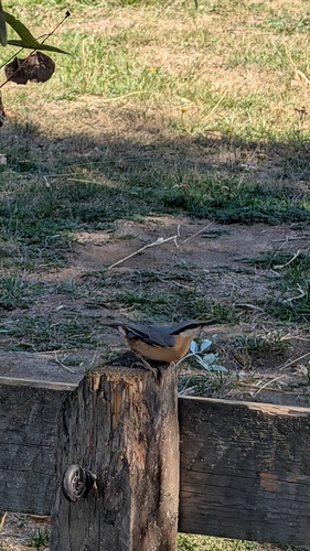
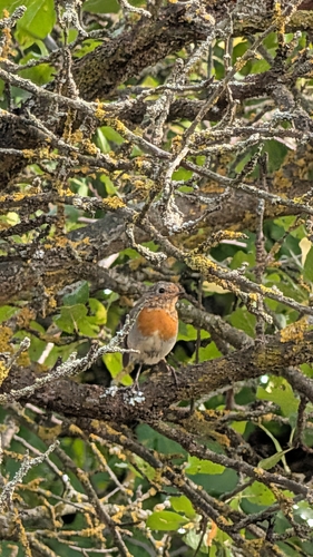
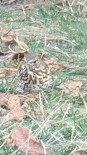
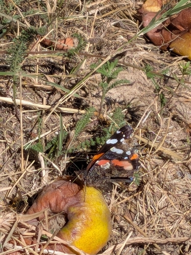
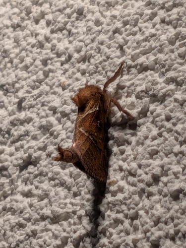
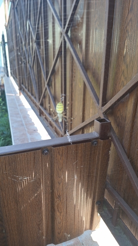
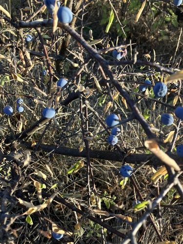
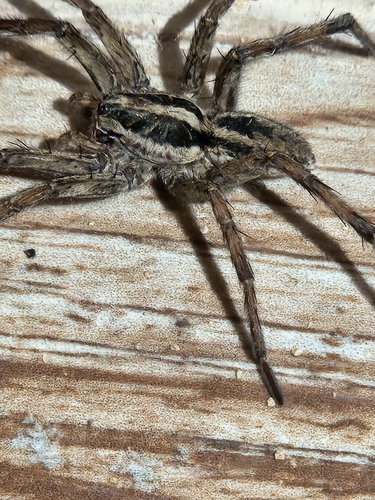
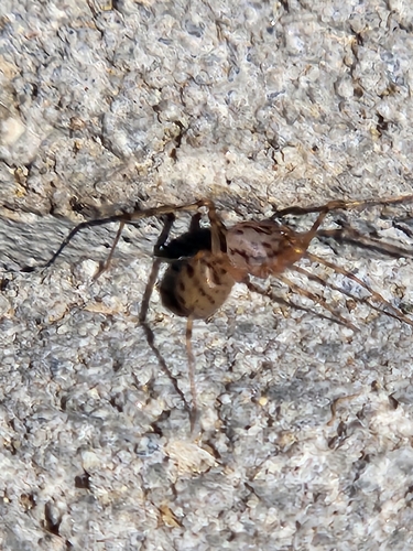
Research-grade observations from iNaturalist (within ~15 mi).
Events
Gallery
Sources
- • Wikipedia
- • Wikidata
- • iNaturalist
- • Open-Meteo / sunrise-sunset.org
- • Wikipedia Pageviews API