Browse / Slovakia / Košice / Čečejovce
Čečejovce
Košicevillage

Čečejovce
Total population
1,998
Founded
1317
Demographic figures from Statistical Office of Slovakia. Overview below cites Wikipedia and may reference a different year.
City facts
Facts from Wikidata (CC0).
Overview
Čečejovce is a village and municipality in Košice-okolie District in the Košice Region of eastern Slovakia.
Read more on WikipediaHistory & geography
History
The first written document of the village comes from the year 1317 where the settlement is named as "CECH". According to the tools made of stone 35 000 years B. C. and found in the territory of the village it can be made out, that the history of the village is much older and goes back as far as the Older Stone Age. The revealed foundations of ancient Neolithic settlements in various parts of the village's territory (the oldest comes from the period 5 000 years B. C.) prove the existence of numerous settlements with constructed dwellings already in the Stone Age when a considerable part of the territory was still covered by forests. The Perényi's family was the first owner of the village known from the written document in 1402. Later, the Pédery and the Szirmay families are also named among the other possessors. According to the records from 1427 the estimated number of inhabitants of the village was 350. Although the village itself wasn't occupied by Turks, it was almost completely unpopulated for fear of Turkish invasions. In 1715 there were only 4 families living here. After withdrawal of the Turks, the possessor of the village Szirmay let Hungarian families settle here. Afterwards Slovak, Polish, and Ruthenian settlers also came to the area. The oldest building of the village, which stands on its place even today, is a stone church from the age of the Árpáds built in Early Gothic style with the elements of Roman style. The church, which was originally Roman Catholic, belongs to the Reformed Church since the time of Rákóczi's uprising in 1703. A baroque manor house built in the middle of the 18th century stands close to the Catholic church. The facade of the manor house was remodeled in a neo-classical style at the beginning of the 19th century and is currently…
Excerpted from the corresponding Wikipedia article (CC BY-SA).
Geography
Coordinates & boundaries from the US Census TIGER/Line shapefiles.
Climate
Air quality
Walkability
Amenities nearby
Wildlife & biodiversity
Earthquake history
Photos
Sights & places nearby
Notable people from here


People born within ~10 km, from Wikidata (CC0). Click any name for their Wikipedia article.
Nearby places in Košice
- Cestice1.8 mi away · pop. 788
- Mokrance2 mi away · pop. 1,341
- Paňovce3.1 mi away · pop. 570
- Komárovce3.1 mi away · pop. 386
- Moldava nad Bodvou3.3 mi away · pop. 11,000
- Rešica4 mi away · pop. 351
- Veľká Ida4.7 mi away · pop. 3,104
- Peder5.3 mi away · pop. 405
- Drienovec5.3 mi away · pop. 1,820
- Janík5.3 mi away · pop. 553
- Hodkovce5.8 mi away · pop. 276
- Žarnov6.4 mi away · pop. 408
Geography & sun
Elevation, sunrise/sunset and daylight from Open-Meteo. Solar climatology from NASA POWER.
Nearby airports
Public attention
Pageview totals from the Wikimedia Pageviews API.
Books about this place
Recent natural events nearby
Ground air-quality sensors
Recently spotted species
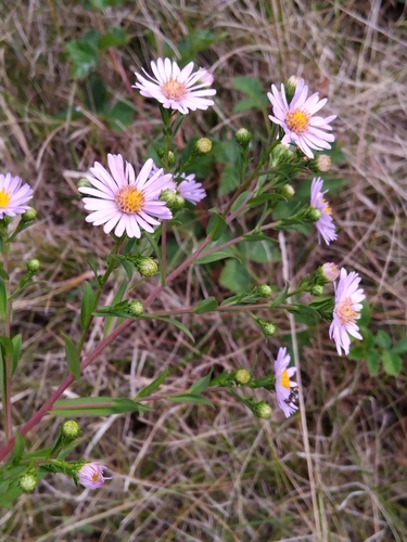
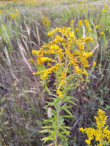
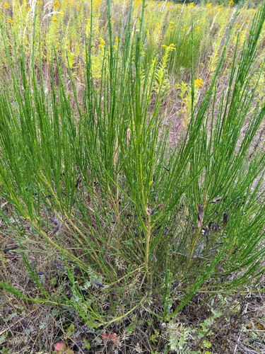
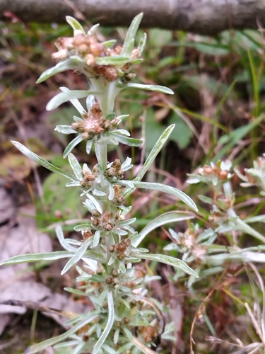
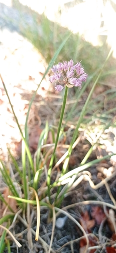
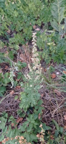
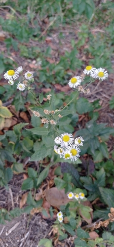
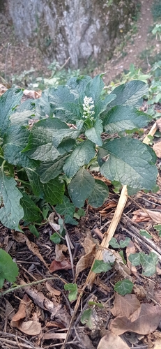
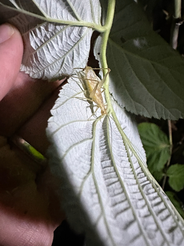
Research-grade observations from iNaturalist (within ~15 mi).
Events
Gallery
Sources
- • Wikipedia
- • Wikidata
- • iNaturalist
- • Open-Meteo / sunrise-sunset.org
- • Wikipedia Pageviews API