Browse / Slovakia / Žilina / Dolný Kubín
Dolný Kubín
Žilinatown

Dolný Kubín
Total population
19,747
Founded
1235
Demographic figures from Statistical Office of Slovakia. Overview below cites Wikipedia and may reference a different year.
City facts
Sister cities
Facts from Wikidata (CC0).
Overview
Dolný Kubín is a town in northern Slovakia in the Žilina Region. It is the historical capital and the largest settlement of the Orava region.
Read more on WikipediaHistory & geography
History
The first written reference of the location dates from 1314 and is about the land (not the settlement yet) Kubín. In 1325, the existence of "Superior Kolbyn" (Vyšný Kubín) was recorded what could indicate also the existence of Dolný Kubín, more detailed information about the settlement are from 1380s. The settlement belonged to the Orava Castle and was the center for the neighboring settlements. The citizens lived by animal husbandry and hunting, but also by quarrying. It was granted town privileges (town status, town charter) in 1632, and its importance was further strengthened in 1633 when the town was granted the right to hold markets. In 1683 the town became the seat of the Orava county and in 1776 also the seat of a processus district. In the 19th century Dolný Kubín was a centre of Slovak national life and the poet Pavol Országh Hviezdoslav and other Slovak national revivalists were active in the town. After World War I, Dolný Kubín remained the seat of the Orava County until 1923, when Orava became a part of Váh County and it became the seat of its district. During World War II, the local garrison actively participated in preparation of Slovak National Uprising. Between December 1944 and January 1945, the town suffered from retaliatory actions and mass arrests. Red Army arrived to the town in the night from 4 to 5 April 1945, warmly welcomed by the local population. The town experienced major developments mainly after World War II, when electrical works as well as other enterprises were established.
Geography
{{Slovak municipality/geo|507|
Excerpted from the corresponding Wikipedia article (CC BY-SA).
Geography
Coordinates & boundaries from the US Census TIGER/Line shapefiles.
Climate
Air quality
Walkability
Amenities nearby
Wildlife & biodiversity
Earthquake history
Photos
Sights & places nearby
Notable people from here


People born within ~10 km, from Wikidata (CC0). Click any name for their Wikipedia article.
Nearby places in Žilina
- Bziny1.5 mi away · pop. 535
- Oravská Poruba2 mi away · pop. 938
- Veličná2.4 mi away · pop. 894
- Vyšný Kubín2.4 mi away · pop. 585
- Medzibrodie nad Oravou2.6 mi away · pop. 456
- Jasenová2.7 mi away · pop. 402
- Leštiny3 mi away · pop. 235
- Istebné3.3 mi away · pop. 1,411
- Pucov3.8 mi away · pop. 739
- Oravský Podzámok4.3 mi away · pop. 1,332
- Pokryváč4.6 mi away · pop. 180
- Žaškov4.6 mi away · pop. 1,694
Geography & sun
Elevation, sunrise/sunset and daylight from Open-Meteo. Solar climatology from NASA POWER.
Nearby airports
Public attention
Pageview totals from the Wikimedia Pageviews API.
Books about this place
Recent natural events nearby
Ground air-quality sensors
Recently spotted species
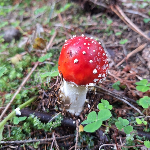
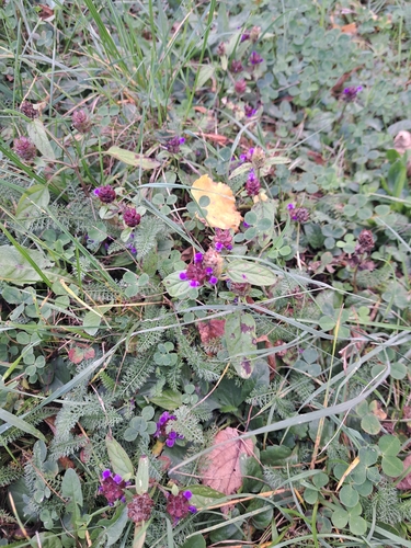
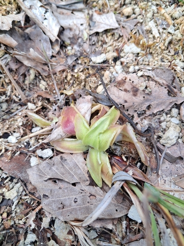
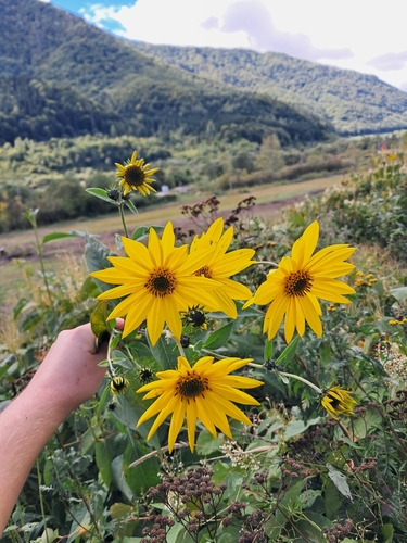
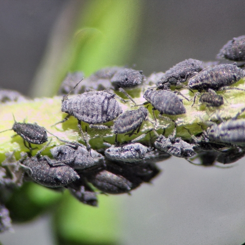
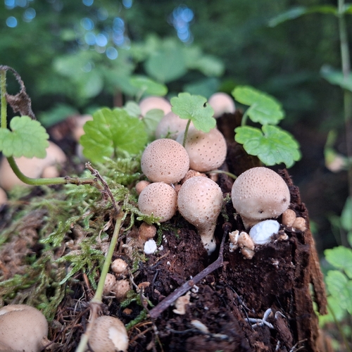
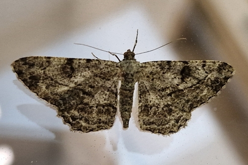
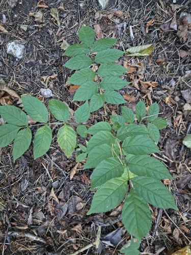
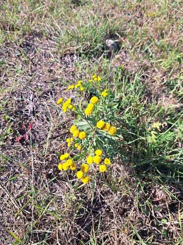
Research-grade observations from iNaturalist (within ~15 mi).
Events
Gallery
Sources
- • Wikipedia
- • Wikidata
- • iNaturalist
- • Open-Meteo / sunrise-sunset.org
- • Wikipedia Pageviews API