Browse / Slovakia / Prešov / Giraltovce
Giraltovce
Prešovtown

Giraltovce
Total population
4,166
Founded
1427
Demographic figures from Statistical Office of Slovakia. Overview below cites Wikipedia and may reference a different year.
City facts
Sister cities
Facts from Wikidata (CC0).
Overview
Giraltovce is a town in the Prešov Region of eastern Slovakia.
Read more on WikipediaHistory & geography
History
The town was first mentioned in 1383 as Giralth. It was named after a man called Geralth who was first hereditary scultetus (a locator serving a noble in founding a new village). The town was founded in the 13th century. In 1427 it was the property of the Széchy family, a few years later it belonged to the Somosy family. The scultetus had a leading role in the village. They acted as the representative of the village before the landlords, regional and religious authorities. They controlled villagers to pay their taxes. Moreover, they had also right of minor magistracy. Their rights were more restricted by changes in the 16th century. In the 17th century, the institution of hereditary scultetus in the village expired. Since that moment, local villagers voted their Chief Magistrate ("Richter"). The most privileged part of inhabitants of the village was nobility, who built at least two mansions there. Moreover, János Semsey conducted to build in the village the temple of the Lutheran church (1650 - 1654), which was the first temple built in the village. Before the establishment of independent Czechoslovakia in 1918, Giraltovce was part of Sáros County within the Kingdom of Hungary. From 1939 to 1945, it was part of the Slovak Republic. On 18 January 1945, the 1st Czechoslovak Army Corps and the Red Army dislodged the Wehrmacht from Giraltovce in the course of the Western Carpathian offensive and it was once again part of Czechoslovakia.
Excerpted from the corresponding Wikipedia article (CC BY-SA).
Geography
Coordinates & boundaries from the US Census TIGER/Line shapefiles.
Climate
Air quality
Walkability
Amenities nearby
Wildlife & biodiversity
Most-observed species
- Ground-ivyGlechoma hederacea L. · Magnoliopsida65
- BeechFagus sylvatica L. · Magnoliopsida60
- Small Balsam, Small-flowered Touch-me-notImpatiens parviflora DC. · Magnoliopsida53
- HornbeamCarpinus betulus L. · Magnoliopsida36
- Field MapleAcer campestre L. · Magnoliopsida34
- Garlic MustardAlliaria petiolata (M.Bieb.) Cavara & Grande · Magnoliopsida30
- Common NettleUrtica dioica L. · Magnoliopsida30
- Yellow ArchangelLamium galeobdolon (L.) L. · Magnoliopsida29
Citizen-science & research observations from the Global Biodiversity Information Facility (GBIF).
Earthquake history
Most recent
- M 5 — 2023-10-0915 km SE of Stropkov, Slovakia
- M 3.3 — 2020-04-237 km SSW of Strážske, Slovakia
- M 4.3 — 2003-05-2012 km S of Snina, Slovakia
Events from the USGS Earthquake Catalog (global) (FDSN Event Web Service).
Photos
Sights & places nearby
Notable people from here


People born within ~10 km, from Wikidata (CC0). Click any name for their Wikipedia article.
Nearby places in Prešov
- Kračúnovce1.7 mi away · pop. 1,158
- Lúčka1.9 mi away · pop. 511
- Kobylnice1.9 mi away · pop. 98
- Matovce2.3 mi away · pop. 132
- Brezov2.3 mi away · pop. 407
- Kuková2.9 mi away · pop. 702
- Babie3.2 mi away · pop. 255
- Ruská Voľa3.6 mi away · pop. 73
- Valkovce4 mi away · pop. 219
- Želmanovce4.1 mi away · pop. 338
- Vlača4.4 mi away · pop. 229
- Chmeľov4.7 mi away · pop. 926
Geography & sun
Elevation, sunrise/sunset and daylight from Open-Meteo. Solar climatology from NASA POWER.
Nearby airports
Public attention
Pageview totals from the Wikimedia Pageviews API.
Books about this place
Recent natural events nearby
Ground air-quality sensors
Recently spotted species
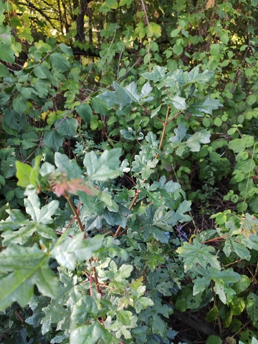
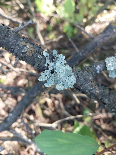
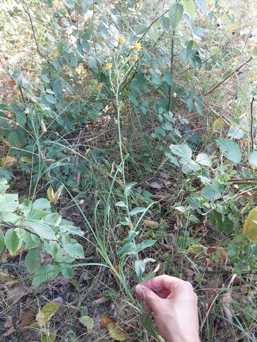
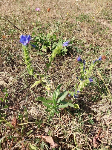
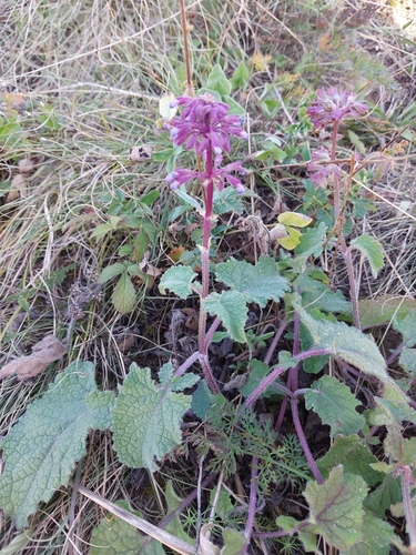
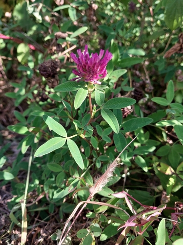
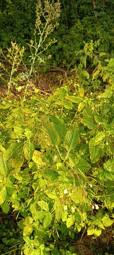
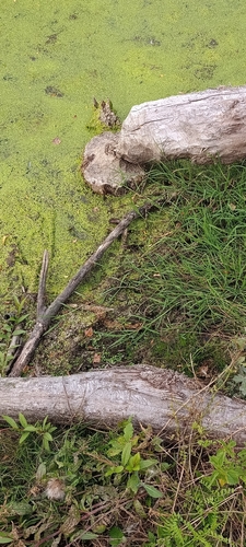
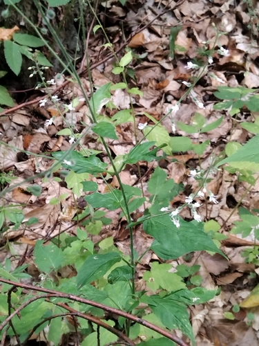
Research-grade observations from iNaturalist (within ~15 mi).
Events
Gallery
Sources
- • Wikipedia
- • Wikidata
- • USGS Earthquake Catalog (global feed)
- • GBIF (Global Biodiversity Information Facility)
- • iNaturalist
- • Open-Meteo / sunrise-sunset.org
- • Wikipedia Pageviews API