Browse / Slovakia / Prešov / Hertník
Hertník
Prešovvillage

Hertník
Total population
1,021
Founded
1351
Demographic figures from Statistical Office of Slovakia. Overview below cites Wikipedia and may reference a different year.
City facts
Facts from Wikidata (CC0).
Overview
Hertník is a village and municipality in Bardejov District in the Prešov Region of north-east Slovakia.
Read more on WikipediaHistory & geography
History
Hertník originated around 1300 and is associated with the Mongol invasion of Europe of 1241–1242. Following the invasion, Béla IV of Hungary donated his estates to his patricians. The noblemen of the northern Šariš region initiated resettlement of plundered and decimated areas (some regions experienced 50% loss of the original population) by inviting German colonists. The incoming Germans (mostly from the Baltic Sea area) were usually craftsmen, traders and miners. The arriving Germans settled in or immediately next to the older Slovak settlements. The legacy of German colonization from that era in the eastern Čergov mountains is manifested in German names of the settlements and other geographical features that have survived to the present time. Etymologically, the name Hertník is derived from the German word Herkenecht (meaning master servant); likewise, nearby villages Šiba (Scheibe), Richvald (Reichwald) and Kľušov (Schonwald). The oldest recorded mention of the village Hertník is from 1351 and can be found in the statement issued by Spišská Kapitula (one of the medieval Hungary's "places of authentication") which confirms that Hertník belonged to the Lords of Perín (Perényi, a noble Hungarian family). Mikuláš from Perín reconfirmed this claim later in a statement issued in 1355 where he declared that Hertník, Šiba, Richvald and Kľušov were in the possession of the Perín family since 1325. Hertník belonged to the Perins until around 1440 when a free royal town of Bardejov became a new owner. In 1442 a Richnava's Bratrík captain Ján Talafúz seized Hertník and other villages from Bardejov. However, in 1446 Hertník was repossessed by Bardejov (the church of Saint Aegidius). During the following decades (~1480–1553) Hertník changed several owners (János Szapolyai,…
Excerpted from the corresponding Wikipedia article (CC BY-SA).
Geography
Coordinates & boundaries from the US Census TIGER/Line shapefiles.
Climate
Air quality
Walkability
Amenities nearby
Wildlife & biodiversity
Earthquake history
Photos
Sights & places nearby
Notable people from here


People born within ~10 km, from Wikidata (CC0). Click any name for their Wikipedia article.
Nearby places in Prešov
- Janovce3.1 mi away · pop. 425
- Hervartov3.2 mi away · pop. 513
- Rešov4.7 mi away · pop. 348
- Raslavice5.3 mi away
- Lukavica5.4 mi away · pop. 385
- Abrahámovce5.6 mi away
- Mošurov6 mi away · pop. 174
- Oľšavce6.5 mi away · pop. 157
- Kochanovce6.7 mi away · pop. 256
- Livov7.5 mi away · pop. 92
- Hankovce7.5 mi away · pop. 402
- Šarišské Sokolovce7.7 mi away · pop. 500
Geography & sun
Elevation, sunrise/sunset and daylight from Open-Meteo. Solar climatology from NASA POWER.
Nearby airports
Public attention
Pageview totals from the Wikimedia Pageviews API.
Books about this place
Recent natural events nearby
Ground air-quality sensors
Recently spotted species
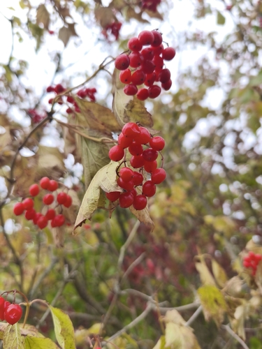
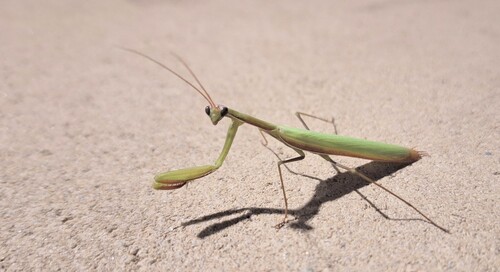
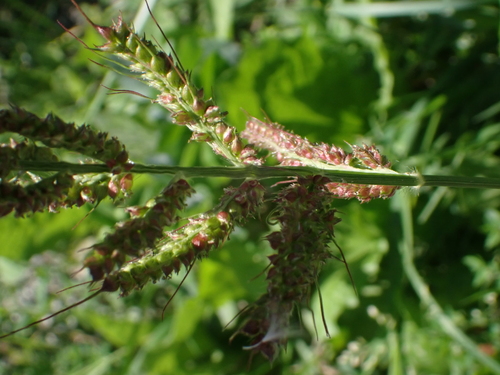
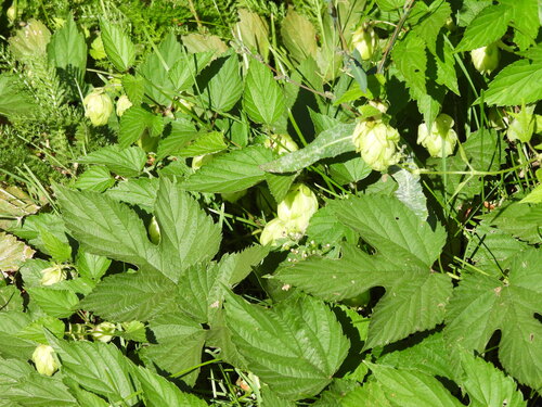
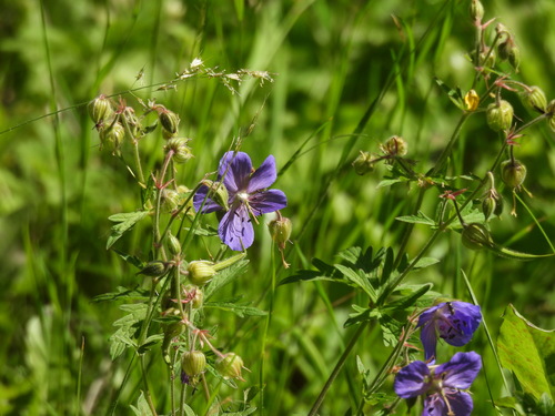
Research-grade observations from iNaturalist (within ~15 mi).
Events
Gallery
Sources
- • Wikipedia
- • Wikidata
- • iNaturalist
- • Open-Meteo / sunrise-sunset.org
- • Wikipedia Pageviews API