Browse / Slovakia / Prešov / Humenné
Humenné
Prešovtown

Humenné
Total population
35,028
Founded
1317
Demographic figures from Statistical Office of Slovakia. Overview below cites Wikipedia and may reference a different year.
City facts
Sister cities
Facts from Wikidata (CC0).
Overview
Humenné is a town in the Prešov Region ("kraj") in eastern Slovakia and the second largest town of the historic Zemplín region. It lies at the volcanic Vihorlat mountains and at the confluence of the Laborec and Cirocha Rivers.
Read more on WikipediaHistory & geography
History
The Laborec River and the Carpathian Mountains predetermined the development of the town and its surroundings, a silent witness of which has been the volcano Vihorlat – with a summit elevation of , the highest point of the Vihorlat mountains. Thanks to its advantageous location and pleasant climate, preconditioned by the neighboring mountains, the town has been an attractive place for people since the Stone Age, which is evidenced by several archeological findings. The Slavic forefathers of the Slovaks gradually moved to the basin of Humenné during the great migration of peoples, starting in the 5th century. An intensive and organized settlement of this area started as late as the middle of the 13th century, after the Mongol raids. The first written document mentioning Humenné dates back to 1317. The history of Humenné is closely connected with the Drugeth (Drugets, Drugetovci), a distinguished aristocratic family originally from Naples, who, accompanying the king Charles Robert of Anjou, came to the Kingdom of Hungary (the territory of present-day Slovakia was part of the Kingdom of Hungary) at the beginning of the 14th century. The Drugeths made Humenné their seat and changed it into the centre of one of the largest feudal dominions in Upper-Hungary. King Matthias Corvinus conferred civic privileges (town status) on the town, which were validated by a seal with coat of arms. At that time, the town was crossed by an important trade route connecting the Kingdom of Hungary with the Kingdom of Poland. Humenné is mentioned among royal customs offices, and later on, it received the right of storehousing and supposedly market rights, too. This was also the time of an ever-increasing influence of shepherd colonization from Transcarpathia by the so-called Walachians…
Excerpted from the corresponding Wikipedia article (CC BY-SA).
Geography
Coordinates & boundaries from the US Census TIGER/Line shapefiles.
Climate
Air quality
Walkability
Amenities nearby
Wildlife & biodiversity
Most-observed species
- BeechFagus sylvatica L. · Magnoliopsida97
- HornbeamCarpinus betulus L. · Magnoliopsida76
- Field MapleAcer campestre L. · Magnoliopsida76
- Eurasian BlackbirdTurdus merula Linnaeus, 1758 · Aves72
- DogwoodCornus sanguinea L. · Magnoliopsida65
- Common ChaffinchFringilla coelebs Linnaeus, 1758 · Aves64
- Great TitParus major Linnaeus, 1758 · Aves61
- Ground-ivyGlechoma hederacea L. · Magnoliopsida59
Citizen-science & research observations from the Global Biodiversity Information Facility (GBIF).
Earthquake history
Most recent
- M 5 — 2023-10-0915 km SE of Stropkov, Slovakia
- M 3.3 — 2020-04-237 km SSW of Strážske, Slovakia
- M 4.8 — 2006-11-236 km S of Koson’, Ukraine
- M 4.3 — 2003-05-2012 km S of Snina, Slovakia
Events from the USGS Earthquake Catalog (global) (FDSN Event Web Service).
Photos
Sights & places nearby
Notable people from here


People born within ~10 km, from Wikidata (CC0). Click any name for their Wikipedia article.
Nearby places in Prešov
- Jasenov1.9 mi away · pop. 1,178
- Kochanovce2.2 mi away · pop. 759
- Brestov2.2 mi away · pop. 533
- Lackovce2.5 mi away · pop. 575
- Hažín nad Cirochou2.7 mi away · pop. 706
- Závadka2.8 mi away · pop. 491
- Gruzovce3.1 mi away · pop. 128
- Udavské3.9 mi away · pop. 1,234
- Lieskovec4 mi away · pop. 445
- Kamienka4.9 mi away · pop. 582
- Ľubiša5.3 mi away · pop. 856
- Porúbka5.5 mi away · pop. 285
Geography & sun
Elevation, sunrise/sunset and daylight from Open-Meteo. Solar climatology from NASA POWER.
Nearby airports
Public attention
Pageview totals from the Wikimedia Pageviews API.
Books about this place
Recent natural events nearby
Ground air-quality sensors
Recently spotted species
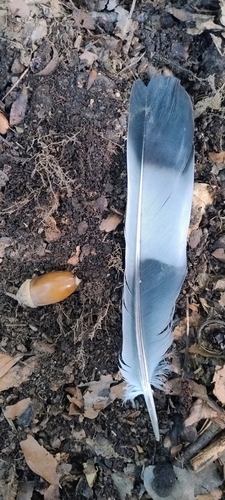
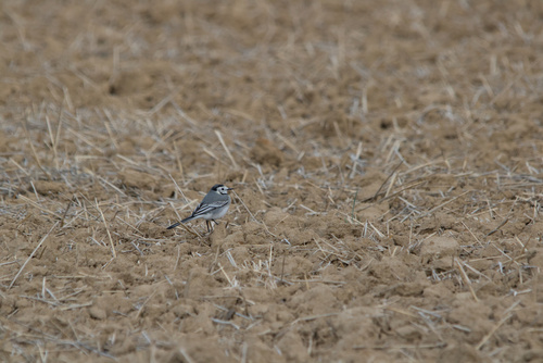
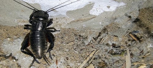
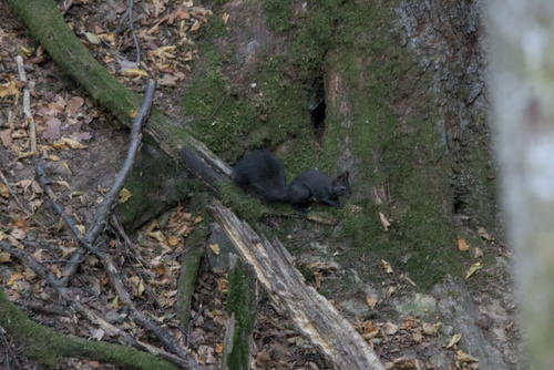
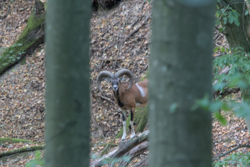
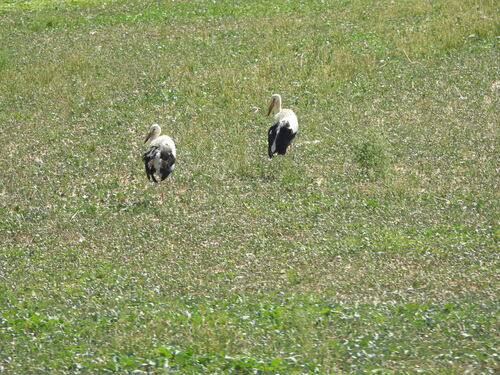
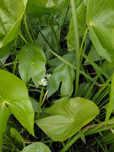
Research-grade observations from iNaturalist (within ~15 mi).
Events
Notable, recurring, and historical events associated with Humenné, sourced from Wikidata.
- Dec 23, 2024
Source: Wikidata (CC0).
Gallery
Sources
- • Wikipedia
- • Wikidata
- • USGS Earthquake Catalog (global feed)
- • GBIF (Global Biodiversity Information Facility)
- • iNaturalist
- • Open-Meteo / sunrise-sunset.org
- • Wikipedia Pageviews API