Browse / Slovakia / Košice / Jasov
Jasov
Košicevillage

Jasov
Total population
2,993
Founded
1234
Demographic figures from Statistical Office of Slovakia. Overview below cites Wikipedia and may reference a different year.
City facts
Facts from Wikidata (CC0).
Overview
Jasov is a small town and municipality in Košice-okolie District in the Kosice Region of eastern Slovakia. It is one of several towns in Bodva Valley. Other towns in Bodva Valley include: Lucia Bania, Medzev (Metzenseifen), Vyšný Medzev, and Stos.
Read more on WikipediaHistory & geography
History
Historically, the village was first mentioned in 1234.
Geography
[http://travel.spectator.sme.sk/articles/1854/_jasov_spiritual_and_temporal_symmetry Jasov] lies on the edge of the Slovenský Kras, an area of dramatic limestone (or karst) landscapes. The nearby valley between Moldava nad Bodvou and Rožňava, with its wide bottom, high cliffs and a picturesque gorge (at Zádiel), is typical. But karst landscapes are noted for what lies beneath their surface as much as what can be seen above, and the Slovenský Kras is no exception. The area is littered with cave complexes, several of them open to the public. One of these is in the hillside a short distance from the monastery at Jasov.
Excerpted from the corresponding Wikipedia article (CC BY-SA).
Geography
Coordinates & boundaries from the US Census TIGER/Line shapefiles.
Climate
Air quality
Walkability
Amenities nearby
Wildlife & biodiversity
Earthquake history
Photos
Sights & places nearby
Notable people from here


People born within ~10 km, from Wikidata (CC0). Click any name for their Wikipedia article.
Geography & sun
Elevation, sunrise/sunset and daylight from Open-Meteo. Solar climatology from NASA POWER.
Nearby airports
Public attention
Pageview totals from the Wikimedia Pageviews API.
Books about this place
Recent natural events nearby
Ground air-quality sensors
Recently spotted species
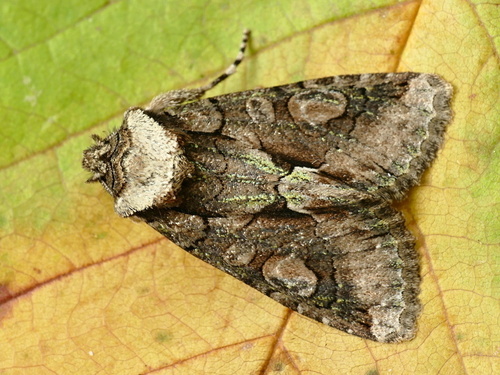
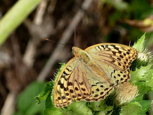
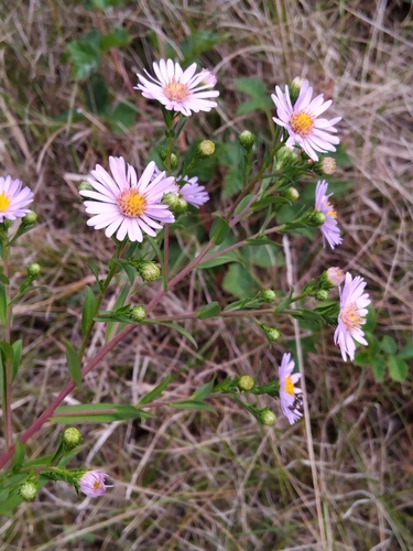
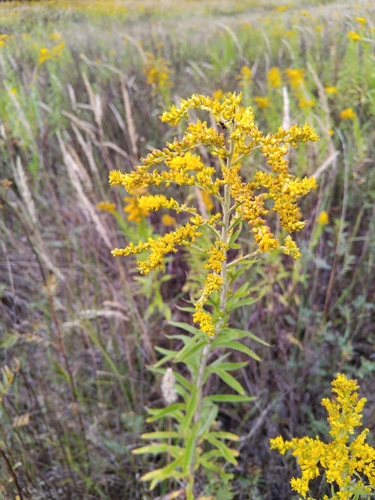
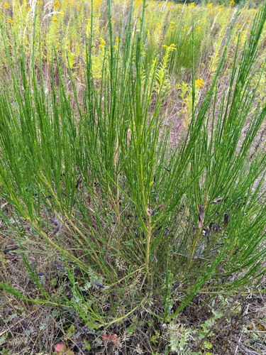
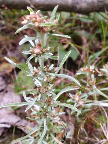
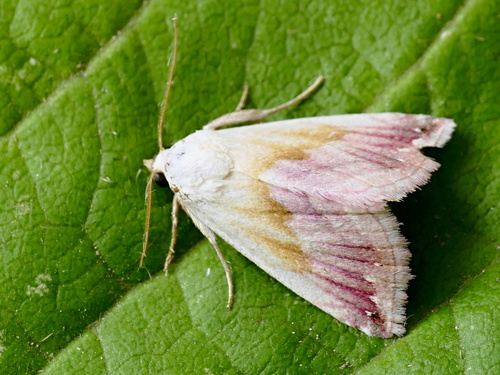
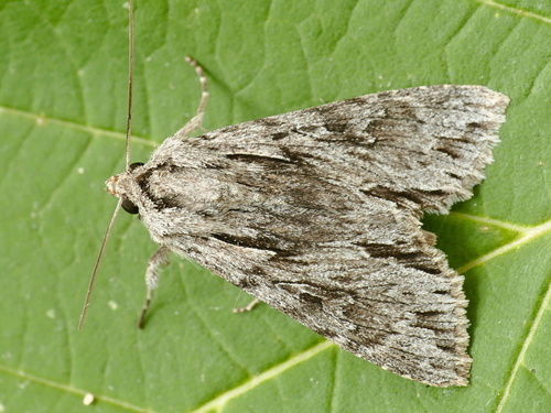
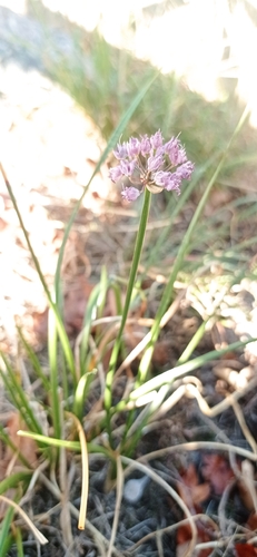
Research-grade observations from iNaturalist (within ~15 mi).
Events
Gallery
Sources
- • Wikipedia
- • Wikidata
- • iNaturalist
- • Open-Meteo / sunrise-sunset.org
- • Wikipedia Pageviews API