Browse / Slovakia / Prešov / Kamenica nad Cirochou
Kamenica nad Cirochou
Prešovvillage

Kamenica nad Cirochou
Total population
2,333
Founded
1317
Demographic figures from Statistical Office of Slovakia. Overview below cites Wikipedia and may reference a different year.
City facts
Facts from Wikidata (CC0).
Overview
Kamenica nad Cirochou is a village and municipality in Humenné District in the Prešov Region of north-east Slovakia. By number of citizens it is the biggest village in the District. There are two rivers Cirocha and Kamenica that merge approximately 1 km off the village.
Read more on WikipediaHistory & geography
History
The original site of village was significantly closer to Cirocha river. Change was induced probably by regular floods. In historical records the village was first mentioned in 1317. King Robert I. gave it, together with other villages and town of Humenné, as a reward for faithful service to Drugeth family. It is assumed that village is older than with estimated origin in 13. century. First known name of the village was Kemence and from 1416 it is called in official records Nagy Kemence. Mansion located in the village was built by Csáky family. Later it was owned by Andrássy family and Gejza Andrassy was the last count that lived in the mansion. In 1925 he sold part of land to citizens which lead to village expansion. In 1933 state took over management of woods and fields from the same count. With this change is linked origin of Military forests in the area and building electric sawmill.
Excerpted from the corresponding Wikipedia article (CC BY-SA).
Geography
Coordinates & boundaries from the US Census TIGER/Line shapefiles.
Climate
Air quality
Walkability
Amenities nearby
Wildlife & biodiversity
Earthquake history
Photos
Sights & places nearby
Notable people from here


People born within ~10 km, from Wikidata (CC0). Click any name for their Wikipedia article.
Geography & sun
Elevation, sunrise/sunset and daylight from Open-Meteo. Solar climatology from NASA POWER.
Nearby airports
Public attention
Pageview totals from the Wikimedia Pageviews API.
Books about this place
Recent natural events nearby
Ground air-quality sensors
Recently spotted species
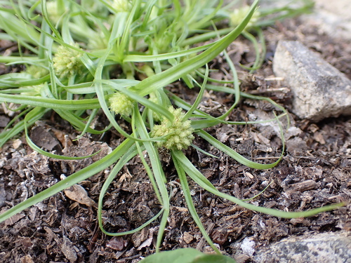
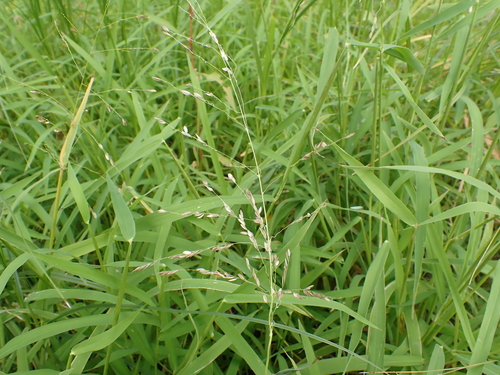
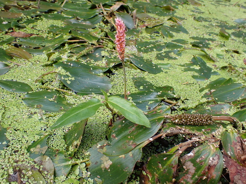
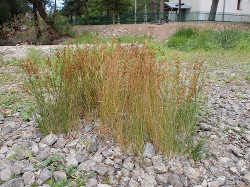
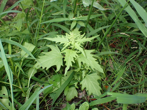
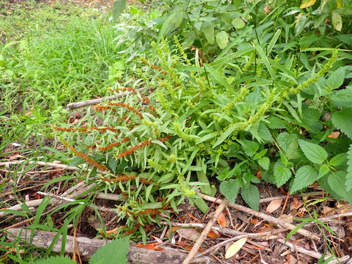
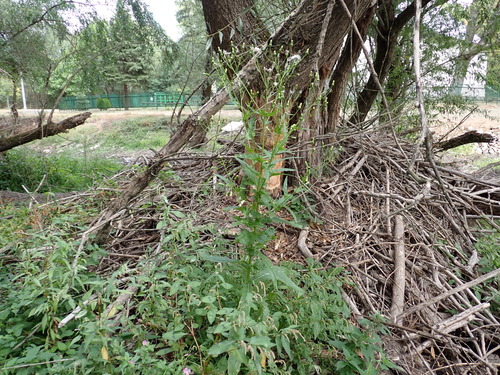
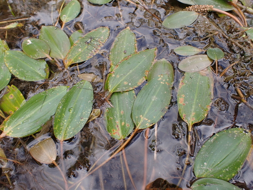
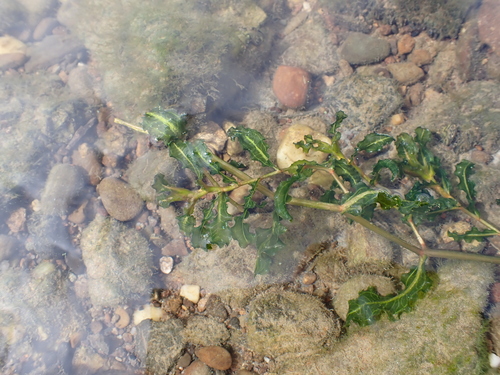
Research-grade observations from iNaturalist (within ~15 mi).
Events
Gallery
Sources
- • Wikipedia
- • Wikidata
- • iNaturalist
- • Open-Meteo / sunrise-sunset.org
- • Wikipedia Pageviews API