Browse / Slovakia / Košice / Kapušianske Kľačany
Kapušianske Kľačany
Košicevillage
Total population
960
Founded
1315
Demographic figures from Statistical Office of Slovakia. Overview below cites Wikipedia and may reference a different year.
City facts
Facts from Wikidata (CC0).
Overview
Kapušianske Kľačany is a village and municipality in Michalovce District in the Kosice Region of eastern Slovakia. It was created in 1943 by merging the villages Kľačiany, Močiar and Ňarád, all first recorded in 1315. The current name Kapušianske Kľačany originated in 1948.
Read more on WikipediaHistory & geography
History
In historical records the village was first mentioned in 1315. Before the establishment of independent Czechoslovakia in 1918, it was part of Ung County within the Kingdom of Hungary.
Excerpted from the corresponding Wikipedia article (CC BY-SA).
Geography
Coordinates & boundaries from the US Census TIGER/Line shapefiles.
Climate
Air quality
Walkability
Amenities nearby
Wildlife & biodiversity
Earthquake history
Photos
Sights & places nearby
Notable people from here
Nearby places in Košice
- Budince1.3 mi away · pop. 201
- Ruská1.6 mi away · pop. 595
- Veľké Kapušany2.1 mi away · pop. 9,549
- Veľké Slemence2.2 mi away · pop. 602
- Maťovské Vojkovce3 mi away · pop. 597
- Ptrukša3.4 mi away
- Čierne Pole3.6 mi away · pop. 278
- Čičarovce3.9 mi away · pop. 914
- Bajany5.1 mi away · pop. 505
- Krišovská Liesková5.2 mi away
- Lekárovce5.6 mi away · pop. 1,034
- Vojany6 mi away · pop. 877
Geography & sun
Nearby airports
Public attention
Books about this place
Recent natural events nearby
Ground air-quality sensors
Recently spotted species

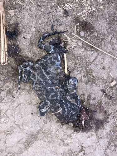


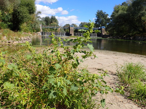
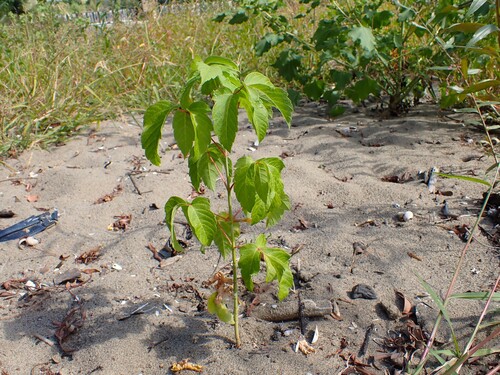
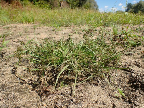
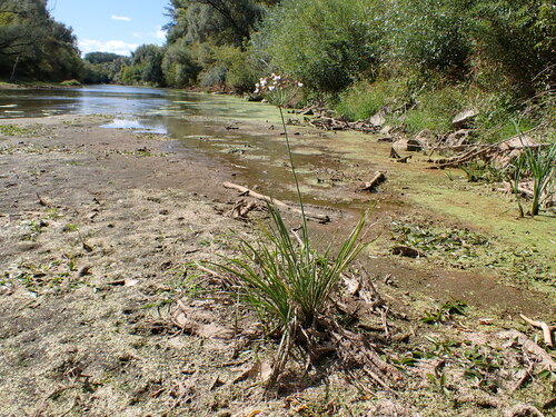
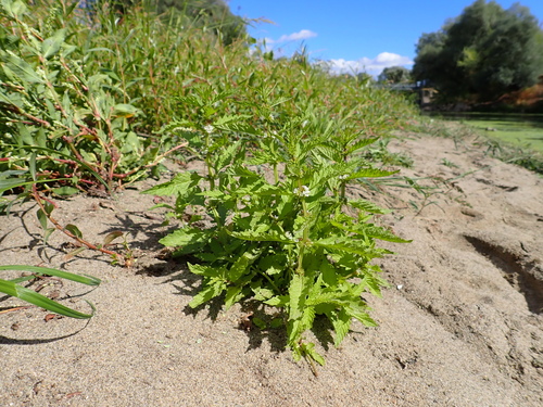
Research-grade observations from iNaturalist (within ~15 mi).
Events
Gallery
Sources
- • Wikipedia
- • Wikidata
- • iNaturalist