Browse / Slovakia / Košice / Kechnec
Kechnec
Košicevillage
Total population
1,020
Founded
1220
Demographic figures from Statistical Office of Slovakia. Overview below cites Wikipedia and may reference a different year.
City facts
Sister cities
Facts from Wikidata (CC0).
Overview
Kechnec is a village in eastern Slovakia.
Read more on WikipediaHistory & geography
History
Historically, the village was first mentioned in 1220 as a settlement called Felnemet. Being on the Hungarian Queen’s land at the lower stream of the River Hornád, the territory of Kechnec was settled by German immigrants at the turn of the 12th and 13th centuries. We know that from the Varadin’s Register of 1220. In 1295 the Queen Agnes gave the town of Kechnec, together with another 7 small towns to Menne, a surrogate breastfeeder of King Ladislaus IV of Hungary. An old document dated to 1338 says that in this town there was a mill, located near the present town of Seňa, which was preserved to the modern times. This documents active work and life of local farmers. The King Sigmund, another major player in the history of the town, gave Kechnec to the Marmoss administrator Peter of Perin. It was a gift for his loyalty and military merits. This fact documents the importance of Kechnec at that time. The donation and merit document is interesting due to its bilingual name – Felnemethy alio domine Kemnech. Although already before the time of arrival of German colonists the town of Kechnec had had its own Slavic name, which the Germans adopted, it also got its official Hungarian name Felnémeti. In 1560 the town was named Kenyhecz Nempty, in 1605 Kenyhecz, in 1808 Kechnec, and the last mentioned name has been preserved until now. According to the conscriptions of local priests and churches, in 1746 people in Kechnec spoke Slovak. A number of major landowners were resident in the town, from among which it is worth to mention the Kenyheczi and Czikovics families. János Czikovics obtained Kechnec from King Leopold I in 1689 in Vienna.
Geography
The municipality is part of the administrative units Košice-okolie District and Košice Region.
Excerpted from the corresponding Wikipedia article (CC BY-SA).
Geography
Coordinates & boundaries from the US Census TIGER/Line shapefiles.
Climate
Air quality
Walkability
Amenities nearby
Wildlife & biodiversity
Earthquake history
Photos
Sights & places nearby
Notable people from here


People born within ~10 km, from Wikidata (CC0). Click any name for their Wikipedia article.
Nearby places in Košice
- Bočiar2.8 mi away · pop. 222
- Gyňov3.1 mi away · pop. 570
- Trstené pri Hornáde3.7 mi away · pop. 1,436
- Veľká Ida5 mi away · pop. 3,104
- Komárovce6.5 mi away · pop. 386
- Kokšov-Bakša7 mi away · pop. 1,109
- Cestice7.6 mi away · pop. 788
- Vyšná Myšľa8 mi away · pop. 907
- Nižná Hutka8.5 mi away · pop. 508
- Malá Ida9.3 mi away · pop. 1,300
- Vyšná Hutka9.4 mi away · pop. 395
- Bohdanovce9.5 mi away · pop. 993
Geography & sun
Elevation, sunrise/sunset and daylight from Open-Meteo. Solar climatology from NASA POWER.
Nearby airports
Public attention
Pageview totals from the Wikimedia Pageviews API.
Books about this place
Recent natural events nearby
Ground air-quality sensors
Recently spotted species
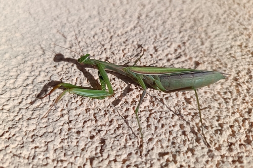
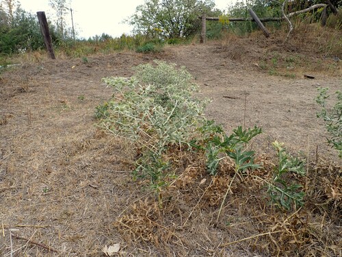
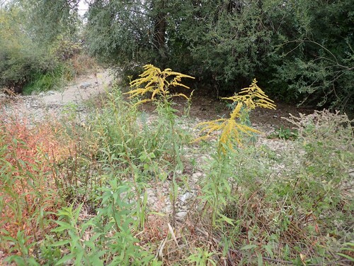
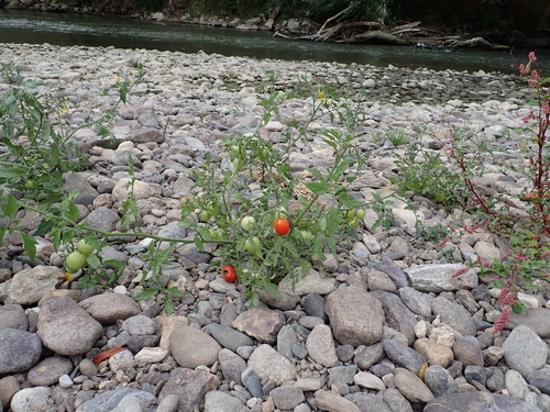
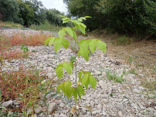
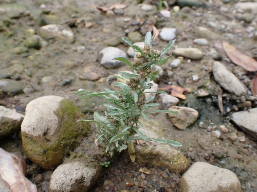
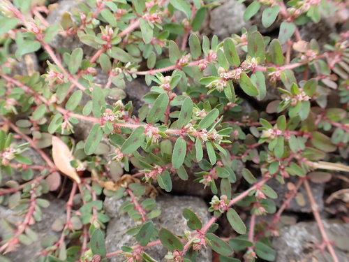
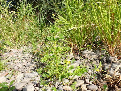
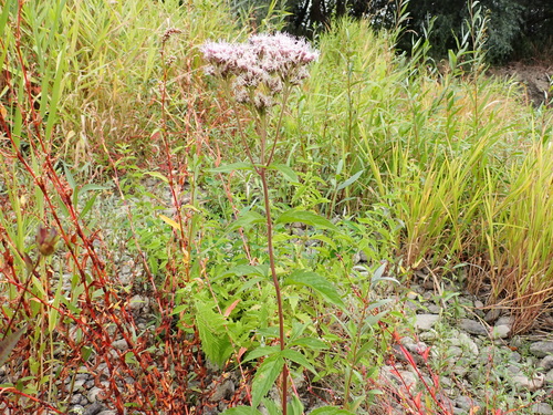
Research-grade observations from iNaturalist (within ~15 mi).
Events
Gallery
Sources
- • Wikipedia
- • Wikidata
- • iNaturalist
- • Open-Meteo / sunrise-sunset.org
- • Wikipedia Pageviews API