Browse / Slovakia / Košice / Krompachy
Krompachy
Košicetown

Krompachy
Total population
8,809
Founded
1246
Demographic figures from Statistical Office of Slovakia. Overview below cites Wikipedia and may reference a different year.
City facts
Sister cities
Facts from Wikidata (CC0).
Overview
Krompachy is a town in Slovakia, with a rich mining and metallurgical history, well-known both in Slovakia and in its close neighboring countries for its Plejsy ski center.
Read more on WikipediaHistory & geography
History
The town was first mentioned in 1282 in a charter by King Ladislaus IV as belonging to the domain of Spiš Castle. The town's name derives from German (Krumm Bach - crooked stream), as the town was settled by German colonists. From then onwards, it was a centre of mining and metallurgy until the end of the 20th century, particularly focussed on the iron and copper industries. At the start of the 20th century, the Krompachy Ironworks (Krompašská železiareň) had around 3,500 employees and was the biggest ironworks of its time in the Kingdom of Hungary. The Ironworks closed after World War I. In 1921, there was a bloody uprising, known as the Krompachy Uprising () in the town. Since 1991, following the industrial decline and as a result of large-scale investment, Plejsy became an internationally visited alpine ski centre and became known as a holiday destination.
Geography
It is situated in the central Spiš area in the valley of the Hornád River. The town lies on the meeting point of three mountain ranges; the Levoča Hills (Levočské vrchy) and Branisko Massif (the highest point is Slubica above sea level) are to the north and the Volovec Mountains (Volovské vrchy) (part of the Slovenské rudohorie Mountains) are to the south. The town is surrounded on every side by mountain massifs, with summits above sea level. The annual rainfall in the Hornád Basin (Hornádska Kotlina) is between . The rainiest month is July and the driest is February. Snow covers the area 75–90 days a year. The average annual temperature is , the lowest in January at , the highest in July at . The large conifer and mixed forests are home to red deer, boars, wolves, lynxes, and badgers. The forests are rich in mushrooms and wild forest fruits. The Hornád River is the home of trout, salmon, grayling and eel.
Excerpted from the corresponding Wikipedia article (CC BY-SA).
Geography
Coordinates & boundaries from the US Census TIGER/Line shapefiles.
Climate
Air quality
Walkability
Amenities nearby
Wildlife & biodiversity
Earthquake history
Photos
Sights & places nearby
Notable people from here
Nearby places in Košice
- Kaľava1.4 mi away · pop. 441
- Kolinovce1.4 mi away · pop. 578
- Hrišovce2.5 mi away · pop. 302
- Slovinky2.8 mi away
- Vojkovce2.8 mi away · pop. 453
- Žakarovce3.4 mi away · pop. 733
- Slatvina3.6 mi away · pop. 304
- Oľšavka4.2 mi away · pop. 192
- Spišské Vlachy4.2 mi away · pop. 3,635
- Jaklovce5.9 mi away · pop. 1,947
- Margecany6.4 mi away · pop. 2,000
- Vítkovce7.1 mi away · pop. 544
Geography & sun
Elevation, sunrise/sunset and daylight from Open-Meteo. Solar climatology from NASA POWER.
Nearby airports
Public attention
Pageview totals from the Wikimedia Pageviews API.
Books about this place
Recent natural events nearby
Ground air-quality sensors
Recently spotted species
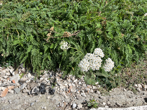
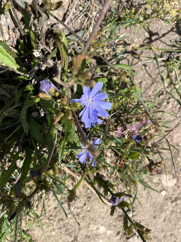
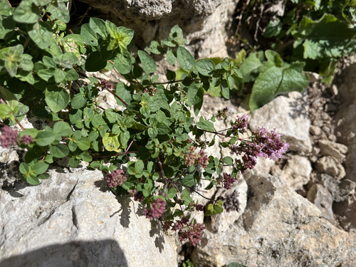
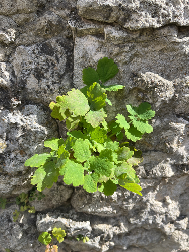
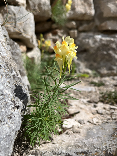
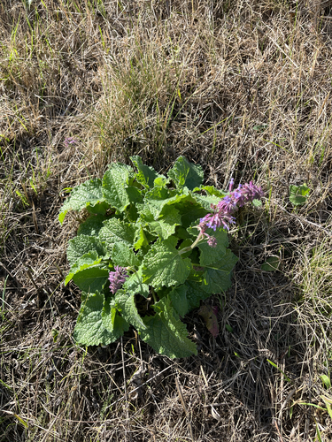
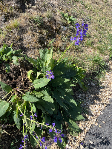
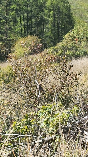
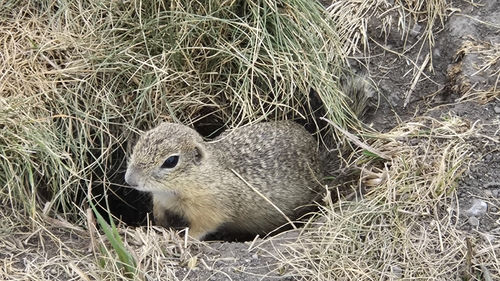
Research-grade observations from iNaturalist (within ~15 mi).
Events
Gallery
Sources
- • Wikipedia
- • Wikidata
- • iNaturalist
- • Open-Meteo / sunrise-sunset.org
- • Wikipedia Pageviews API