Browse / Slovakia / Žilina / Kysucké Nové Mesto
Kysucké Nové Mesto
Žilinatown

Kysucké Nové Mesto
Total population
15,132
Founded
1325
Demographic figures from Statistical Office of Slovakia. Overview below cites Wikipedia and may reference a different year.
City facts
Sister cities
Facts from Wikidata (CC0).
Overview
Kysucké Nové Mesto is a town in Žilina Region, Slovakia, near the city of Žilina.
Read more on WikipediaHistory & geography
History
In 1976 lumps of burnt clay and ceramics were found under Stránsky vrch, which highlighted the settlement in this area. Archaeologists date the acquired material back to the La Tène Age. These findings are now stored in the Manor-house of Radoľa located near Kysucké Nové Mesto The town is mentioned for the first time in 1254 (under the name Jesesin, in the Bela's IV donation treaty). In 1321 lachasin is mentioned as a place where toll is collected. The privileges of a town with a market law were given the city (under the name Congesberg) in 1325. In 1358 the name of Nova Civitas (Nové Mesto - New Town) is already used. The inhabitants were mainly engaged in agriculture, sheep breeding, trade and handcraft. The town in the 19th century was falling due to the floods (in 1813, 1821), the fires (1823, 1904), but also due to the large expatriation in the whole region. After the fire in August 1904, only 30 homes remained in the city. The economic development of the city took place after the Second World War. The Kysucké Nové Mesto developed mainly the engineering industry. The relationship with Austro-Hungary was expressed by inhabitants during the WWI in the Riot in Kragujevac (June 2, 1918). In World War II people fought with German occupation forces not only in Slovakia in the Slovak national uprising, but also in European struggles, contributing to the defeat of fascism. Kysucké Nové Mesto has been making its present form for centuries. The biggest and fastest changes occurred after World War II. The importance of the town increased after the year 1950, when the Závody presného strojárstva (later ZVL) were created. The company provided work to thousands of people and started significant changes in the town. New housing estates, schools, offices, shops, sports…
Geography
It is located in the Kysuca river valley, between the Javorníky and Kysucká vrchovina mountains, about north of Žilina.
Excerpted from the corresponding Wikipedia article (CC BY-SA).
Geography
Coordinates & boundaries from the US Census TIGER/Line shapefiles.
Climate
Air quality
Walkability
Amenities nearby
Wildlife & biodiversity
Earthquake history
Photos
Sights & places nearby
Notable people from here


People born within ~10 km, from Wikidata (CC0). Click any name for their Wikipedia article.
Nearby places in Žilina
- Radoľa0.5 mi away · pop. 1,489
- Povina1.3 mi away · pop. 1,171
- Nesluša1.8 mi away · pop. 3,287
- Rudina2.1 mi away · pop. 1,802
- Snežnica2.4 mi away · pop. 1,033
- Lopušné Pažite2.6 mi away · pop. 458
- Rudinka2.6 mi away · pop. 382
- Kysucký Lieskovec2.9 mi away · pop. 2,354
- Ochodnica3.4 mi away · pop. 1,934
- Rudinská3.4 mi away · pop. 982
- Dolný Vadičov3.7 mi away · pop. 454
- Kotrčiná Lúčka4.1 mi away · pop. 517
Geography & sun
Elevation, sunrise/sunset and daylight from Open-Meteo. Solar climatology from NASA POWER.
Nearby airports
Public attention
Pageview totals from the Wikimedia Pageviews API.
Books about this place
Recent natural events nearby
Ground air-quality sensors
Recently spotted species
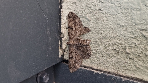
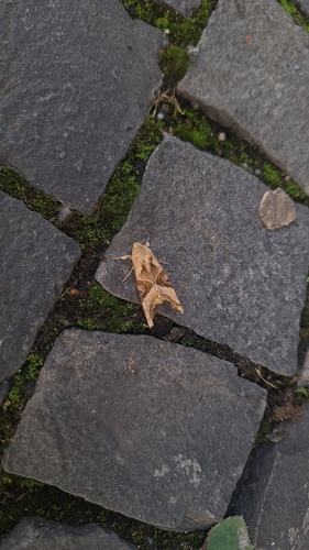
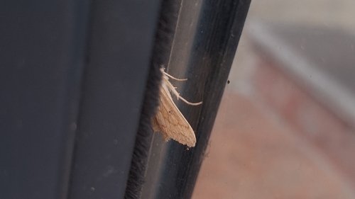
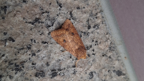
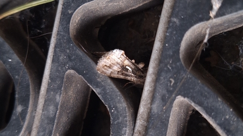
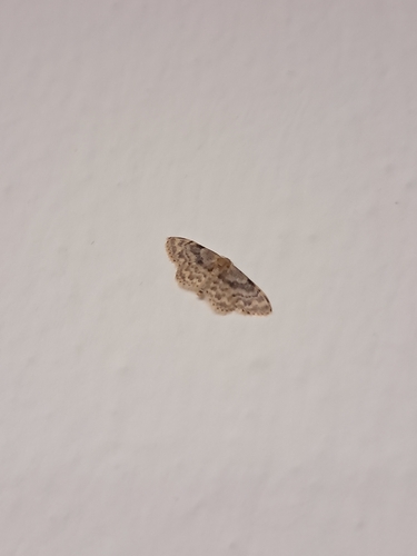
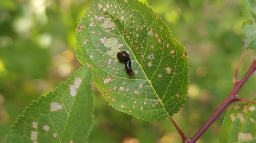
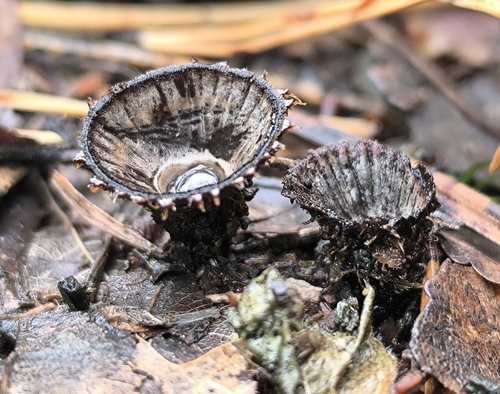
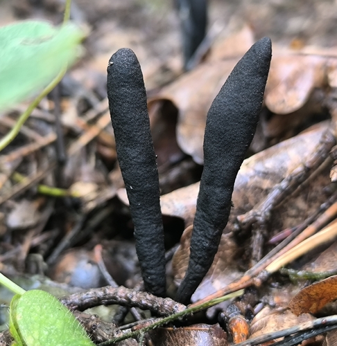
Research-grade observations from iNaturalist (within ~15 mi).
Events
Gallery
Sources
- • Wikipedia
- • Wikidata
- • iNaturalist
- • Open-Meteo / sunrise-sunset.org
- • Wikipedia Pageviews API