Browse / Slovakia / Žilina / Liptovská Lúžna
Liptovská Lúžna
Žilinavillage

Featured view
Liptovská Lúžna
Total population
2,920
Founded
1669
Elevation700 m
Land area54.66 km²
Coordinates48.94°, 19.32°
Demographic figures from Statistical Office of Slovakia. Overview below cites Wikipedia and may reference a different year.
Loading additional data from public sources…0 / 11
CensusWikipediaWeatherPlacesPeopleEnvironmentHealth & SchoolsRelatedGeography & CultureLive MonitoringEvents & Gallery
0% completeCity facts
Facts from Wikidata (CC0).
Overview
Liptovská Lúžna is a village and municipality in Ružomberok District in the Žilina Region of northern Slovakia.
Read more on WikipediaHistory & geography
History
In historical records the village was first mentioned in 1669.
Excerpted from the corresponding Wikipedia article (CC BY-SA).
Geography
Latitude
48.9411
Longitude
19.3216
Water area
—
Coordinates & boundaries from the US Census TIGER/Line shapefiles.
Climate
Air quality
Walkability
Amenities nearby
Wildlife & biodiversity
Earthquake history
Photos
Sights & places nearby
Notable people from here
Nearby places in Žilina
- Liptovská Osada2.8 mi away · pop. 1,621
- Liptovské Revúce6.7 mi away · pop. 1,630
- Ludrová7.3 mi away · pop. 1,013
- Liptovská Štiavnica7.8 mi away · pop. 965
- Liptovské Sliače8.8 mi away
- Štiavnička8.9 mi away · pop. 585
- Liptovské Kľačany9.4 mi away · pop. 355
- Ružomberok9.7 mi away · pop. 29,793
- Partizánska Ľupča10 mi away · pop. 1,239
- Malatíny10.2 mi away
- Lisková10.3 mi away · pop. 2,117
- Martinček10.4 mi away · pop. 391
Geography & sun
Nearby airports
Public attention
Books about this place
Recent natural events nearby
Ground air-quality sensors
Recently spotted species
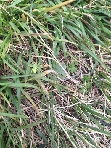
Green Huntsman Spider
Micrommata virescens
Seen 2026-09-25
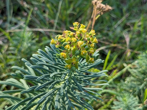
cypress spurge
Euphorbia cyparissias
Seen 2026-09-16
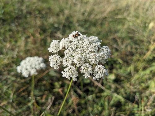
wild carrot
Daucus carota
Seen 2026-09-16
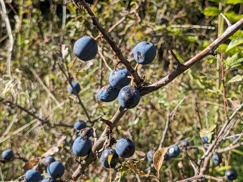
Blackthorn
Prunus spinosa
Seen 2026-09-16
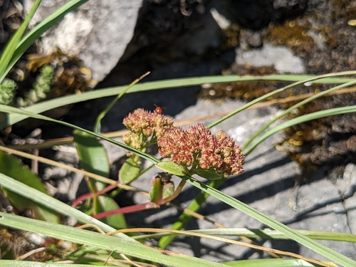
Great Stonecrop
Hylotelephium maximum
Seen 2026-09-16
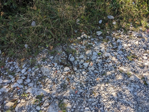
Adder
Vipera berus
Seen 2026-09-16
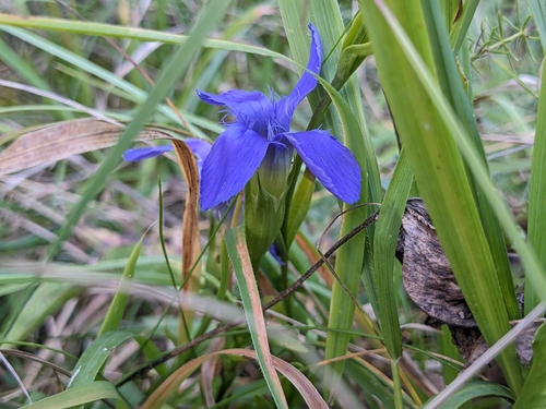
Fringe-flowered Gentian
Gentianopsis ciliata
Seen 2026-09-16
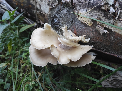
pale oyster
Pleurotus pulmonarius
Seen 2026-09-15
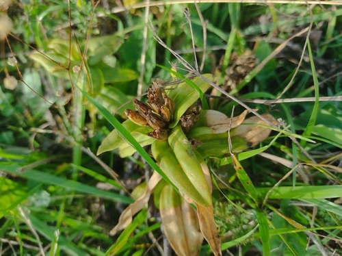
Cross Gentian
Gentiana cruciata
Seen 2026-09-15
Research-grade observations from iNaturalist (within ~15 mi).
Events
Gallery
Sources
- • Wikipedia
- • Wikidata
- • iNaturalist