Browse / Slovakia / Žilina / Liptovský Hrádok
Liptovský Hrádok
Žilinatown

Liptovský Hrádok
Total population
7,729
Founded
1341
Demographic figures from Statistical Office of Slovakia. Overview below cites Wikipedia and may reference a different year.
City facts
Facts from Wikidata (CC0).
Overview
Liptovský Hrádok is a town in northern Slovakia, in the region of Liptov.
Read more on WikipediaHistory & geography
History
First mentioned in 1341, Liptovský Hrádok was named after the nearby castle. The castle, also known as Liptovský Hrádok, was built originally for use of the forestry commission, hunters of the area and the Catholic Church. The castle was later modified and furnished in the style of Louis XVI. The name of the town and the castle literally means "little castle of Liptov". A salt processing facility was constructed in 1728 to collect salt for the Solivar Salt Works which now is part of Prešov, a Slovak city further to the East. This helped Liptovský Hrádok rise to some prominence in the region. The population centre of the town was the main street, which runs from the castle to the south continuing along to the Váh River and the hamlet of Prekážka. Before the establishment of independent Czechoslovakia in 1918, Liptovský Hrádok was part of Liptó County within the Kingdom of Hungary. From 1939 to 1945, it was part of the Slovak Republic.
Geography
{{Slovak municipality/geo|656| * Area of the town: 1.832 ha. * Dovalovo is its town section with 1001 inhabitants * Average yearly temperature: . * Maximum temperature: * Minimum temperature: * Absolute maximum: (16.08.1952) * Absolute minimum: (11.02.1929) * Length of sunshine: 140 days per year * Average rainfall per year 691 mm * Average number of cold days year: 160.4 days * Average number of summer days per year: 28.9 days
Excerpted from the corresponding Wikipedia article (CC BY-SA).
Geography
Coordinates & boundaries from the US Census TIGER/Line shapefiles.
Climate
Air quality
Walkability
Amenities nearby
Wildlife & biodiversity
Earthquake history
Photos
Sights & places nearby
Notable people from here


People born within ~10 km, from Wikidata (CC0). Click any name for their Wikipedia article.
Nearby places in Žilina
- Liptovská Porúbka0.8 mi away · pop. 1,169
- Liptovský Peter1.2 mi away · pop. 1,303
- Podtureň1.8 mi away · pop. 708
- Liptovský Ján2.1 mi away · pop. 845
- Uhorská Ves2.3 mi away · pop. 442
- Jamník2.4 mi away
- Vavrišovo2.8 mi away · pop. 649
- Beňadiková3.2 mi away · pop. 441
- Závažná Poruba3.5 mi away · pop. 1,244
- Kráľova Lehota3.5 mi away
- Liptovský Ondrej4.2 mi away · pop. 584
- Jakubovany4.5 mi away
Geography & sun
Elevation, sunrise/sunset and daylight from Open-Meteo. Solar climatology from NASA POWER.
Nearby airports
Public attention
Pageview totals from the Wikimedia Pageviews API.
Books about this place
Recent natural events nearby
Ground air-quality sensors
Recently spotted species
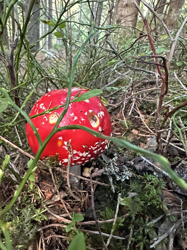
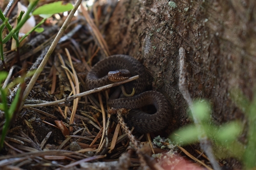
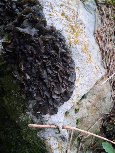
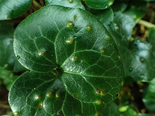
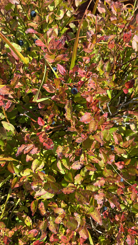
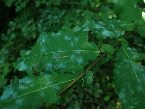
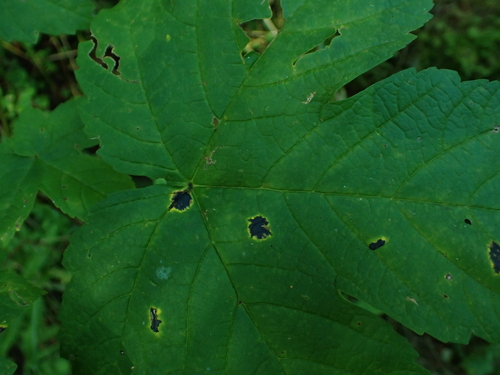
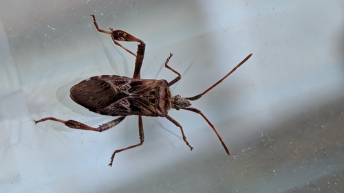
Research-grade observations from iNaturalist (within ~15 mi).
Events
Gallery
Sources
- • Wikipedia
- • Wikidata
- • iNaturalist
- • Open-Meteo / sunrise-sunset.org
- • Wikipedia Pageviews API