Browse / Slovakia / Košice / Nižná Myšľa
Nižná Myšľa
Košicevillage

Featured view
Nižná Myšľa
Total population
1,455
Founded
1270
Elevation207 m
Land area12.61 km²
Coordinates48.62°, 21.36°
Demographic figures from Statistical Office of Slovakia. Overview below cites Wikipedia and may reference a different year.
Loading additional data from public sources…0 / 11
CensusWikipediaWeatherPlacesPeopleEnvironmentHealth & SchoolsRelatedGeography & CultureLive MonitoringEvents & Gallery
0% completeCity facts
Facts from Wikidata (CC0).
Overview
Nižná Myšľa is a village and municipality in the Košice-okolie District in the Kosice Region of eastern Slovakia.
Read more on WikipediaHistory & geography
History
In historical records, the village was first mentioned in 1270.
Excerpted from the corresponding Wikipedia article (CC BY-SA).
Geography
Latitude
48.6237
Longitude
21.3639
Water area
—
Coordinates & boundaries from the US Census TIGER/Line shapefiles.
Climate
Air quality
Walkability
Amenities nearby
Wildlife & biodiversity
Earthquake history
Photos
Sights & places nearby
Notable people from here
Nearby places in Košice
- Vyšná Myšľa1.3 mi away · pop. 907
- Nižná Hutka2.4 mi away · pop. 508
- Kokšov-Bakša2.5 mi away · pop. 1,109
- Bohdanovce2.8 mi away · pop. 993
- Rákoš3.3 mi away · pop. 338
- Gyňov3.6 mi away · pop. 570
- Trstené pri Hornáde3.7 mi away · pop. 1,436
- Vyšná Hutka3.7 mi away · pop. 395
- Blažice3.7 mi away · pop. 550
- Vyšný Čaj4.4 mi away · pop. 300
- Slanská Huta4.9 mi away · pop. 211
- Ruskov5.1 mi away · pop. 1,331
Geography & sun
Nearby airports
Public attention
Books about this place
Recent natural events nearby
Ground air-quality sensors
Recently spotted species
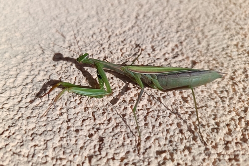
European Mantis
Mantis religiosa
Seen 2026-09-27
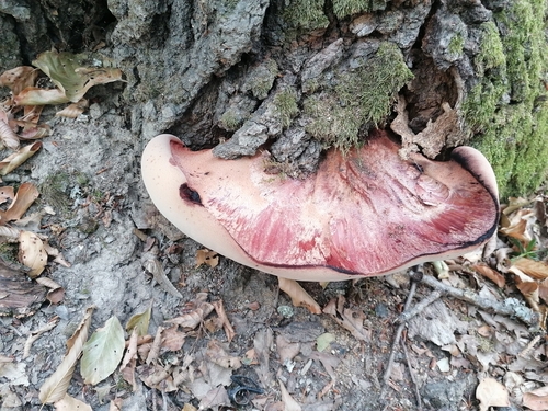
Beefsteak Polypore
Fistulina hepatica
Seen 2026-09-20
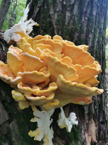
chicken of the woods
Laetiporus sulphureus
Seen 2026-09-18
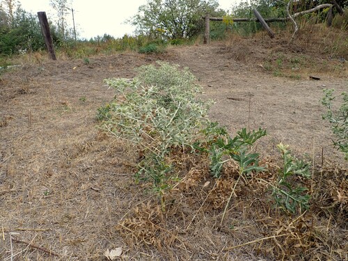
Field Eryngo
Eryngium campestre
Seen 2026-09-17
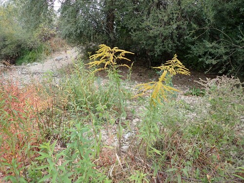
Canada goldenrod
Solidago canadensis
Seen 2026-09-17
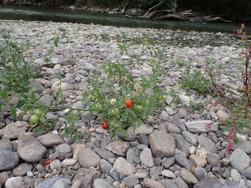
tomato
Solanum lycopersicum
Seen 2026-09-17
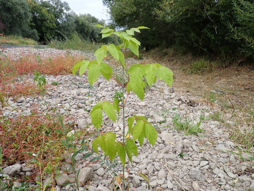
box elder
Acer negundo
Seen 2026-09-17
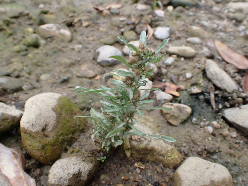
marsh cudweed
Gnaphalium uliginosum
Seen 2026-09-17
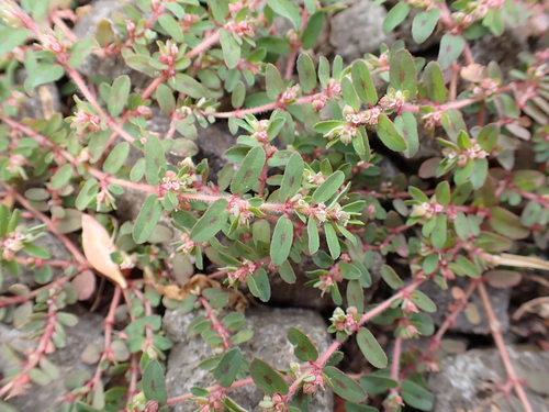
Spotted spurge
Euphorbia maculata
Seen 2026-09-17
Research-grade observations from iNaturalist (within ~15 mi).
Events
Gallery
Sources
- • Wikipedia
- • Wikidata
- • iNaturalist