Browse / Slovakia / Trenčín / Nová Bošáca
Nová Bošáca
Trenčínvillage

Nová Bošáca
Total population
1,165
Founded
1950
Demographic figures from Statistical Office of Slovakia. Overview below cites Wikipedia and may reference a different year.
City facts
Facts from Wikidata (CC0).
Overview
Nová Bošáca is a village and municipality in Nové Mesto nad Váhom District in the Trenčín Region of western Slovakia.
Read more on WikipediaHistory & geography
History
In historical records the village was first mentioned in 1950. The territory of today's Nová Bošáca was in the past a part of the Trenčian capital. In the 18th century, Bošácke kopanice (the current village of Nová Bošáca) was one of the largest dispersed settlements in this area. According to regionalization, the village belongs to the Central Coast region. According to the Ethnographic Atlas of Slovakia, Nová Bošáca is located in the western Slovak lowland area with mountainous elements. Nová Bošáca is part of the Bošáčka Microregion and represents a type of mining settlement. The Bošácka valley forms a micro-region that is interesting both from a cultural and historical point of view, as well as from an ethnographic and naturalistic point of view. It is therefore an attractive place for researchers and tourists. The settlement of this territory is gradually documented by finds from the Stone Age to the early Middle Ages. Before the establishment of independent Czechoslovakia in 1918, the territory of Nová Bošáca was part of Trencsén County within the Kingdom of Hungary. From 1939 to 1945, it was part of the Slovak Republic.
Geography
The village of Nová Bošáca is located in the district of Nové Mesto nad Váhom, approximately 15 kilometers away from the district town. It extends in the White Carpathian range. Nová Bošáca is a border municipality, adjacent to the municipalities of Březová, Lopeník and Vyškovec from the Moravian side. In Slovakia, it borders with the municipalities of Chocholná-Velčice, Haluzice, Bošáca, Zemianske Podhradie and Moravské Liesköve. The highest point of the village is Veľký Lopeník hill with an altitude of 912 meters.
Excerpted from the corresponding Wikipedia article (CC BY-SA).
Geography
Coordinates & boundaries from the US Census TIGER/Line shapefiles.
Climate
Air quality
Walkability
Amenities nearby
Wildlife & biodiversity
Earthquake history
Photos
Sights & places nearby
Notable people from here


People born within ~10 km, from Wikidata (CC0). Click any name for their Wikipedia article.
Nearby places in Trenčín
- Zemianske Podhradie3 mi away · pop. 757
- Bošáca3.9 mi away · pop. 1,374
- Moravské Lieskové4.2 mi away · pop. 2,499
- Haluzice5.1 mi away · pop. 61
- Dolné Srnie5.6 mi away · pop. 945
- Štvrtok5.6 mi away · pop. 372
- Melčice-Lieskové5.8 mi away · pop. 1,605
- Ivanovce5.9 mi away · pop. 953
- Adamovské Kochanovce6.2 mi away · pop. 842
- Trenčianske Bohuslavice6.3 mi away · pop. 921
- Bzince pod Javorinou6.5 mi away · pop. 2,092
- Chocholná-Velčice6.8 mi away · pop. 1,741
Geography & sun
Elevation, sunrise/sunset and daylight from Open-Meteo. Solar climatology from NASA POWER.
Nearby airports
Public attention
Pageview totals from the Wikimedia Pageviews API.
Books about this place
Recent natural events nearby
Ground air-quality sensors
Recently spotted species
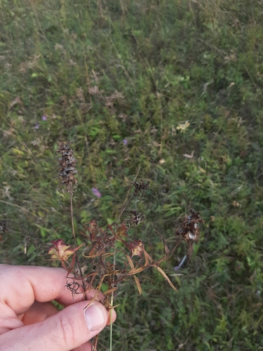
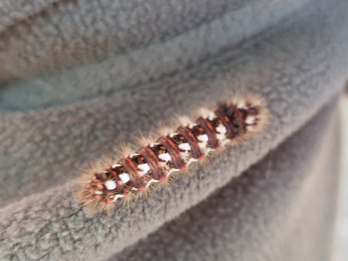
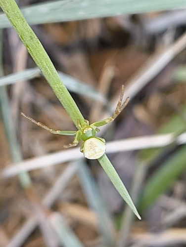
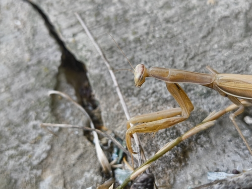
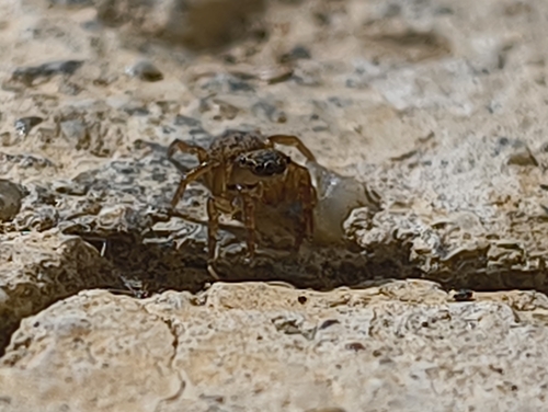
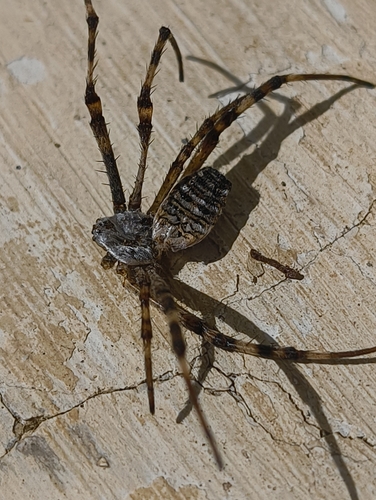
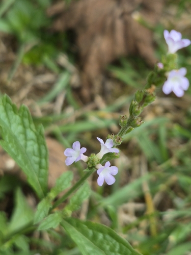
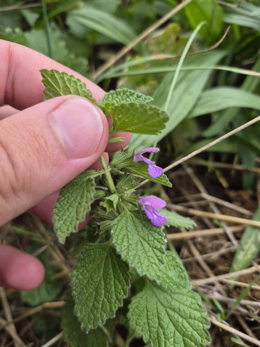
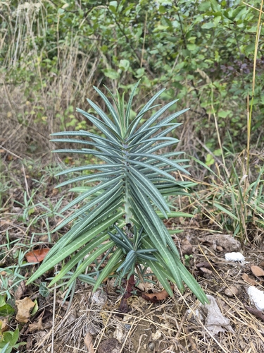
Research-grade observations from iNaturalist (within ~15 mi).
Events
Gallery
Sources
- • Wikipedia
- • Wikidata
- • iNaturalist
- • Open-Meteo / sunrise-sunset.org
- • Wikipedia Pageviews API