Browse / Slovakia / Trenčín / Nové Mesto nad Váhom
Nové Mesto nad Váhom
Trenčíntown

Nové Mesto nad Váhom
Total population
20,505
Founded
1253
Demographic figures from Statistical Office of Slovakia. Overview below cites Wikipedia and may reference a different year.
City facts
Sister cities
Facts from Wikidata (CC0).
Overview
Nové Mesto nad Váhom is a town in the Trenčín Region of Slovakia.
Read more on WikipediaHistory & geography
History
Lands in the place of today's Nové Mesto nad Váhom were inhabited in the prehistoric ages, as many artefacts from the Stone and Bronze Ages were discovered. In the local part Mnešice a prehistoric settlement was discovered. The first written record about Nové Mesto nad Váhom was in 1263, when King Béla IV of Hungary granted freedoms for the loyalty during the Mongol invasions. It belonged to the Benedictine order, later to Matthew III Csák and others. It received its town privileges in 1550. Industry developed in the 19th century and was mainly focused at processing agricultural products. Before the establishment of independent Czechoslovakia in 1918, Nové Mesto nad Váhom was part of Nyitra County within the Kingdom of Hungary. From 1939 to 1945, it was part of the Slovak Republic.
Geography
District town located at the northern edge of the Danubian Hills at the foothills of the northern end of the White Carpathians, on the Váh river. Other mountains nearby are the White Carpathian and the Považský Inovec. It is situated 27 km from Trenčín and 100 km from Bratislava and has an area of km2. The Town parts are: Mnešice, Izbice, Javorinaská, Hájovky, Samoty, Luka, Centrum, Rajková (northern city), Záhumenice.
Excerpted from the corresponding Wikipedia article (CC BY-SA).
Geography
Coordinates & boundaries from the US Census TIGER/Line shapefiles.
Climate
Air quality
Walkability
Amenities nearby
Wildlife & biodiversity
Earthquake history
Most recent
- M 3.9 — 2026-02-2111 km ESE of Šamorín, Slovakia
- M 2.8 — 2018-08-171 km ENE of Tren?ianske Teplice, Slovakia
- M 3.6 — 2006-03-135 km NNW of Leopoldov, Slovakia
- M 3.1 — 2006-03-093 km SSW of Tren?ianske Teplice, Slovakia
- M 3.5 — 2004-09-2312 km NNW of Dudince, Slovakia
- M 2.8 — 2004-07-237 km E of Ostravice, Czechia
Events from the USGS Earthquake Catalog (global) (FDSN Event Web Service).
Photos
Sights & places nearby
Notable people from here
Nearby places in Trenčín
- Dolné Srnie2.6 mi away · pop. 945
- Trenčianske Bohuslavice2.8 mi away · pop. 921
- Kočovce2.9 mi away · pop. 1,395
- Bzince pod Javorinou3.1 mi away · pop. 2,092
- Nová Ves nad Váhom3.3 mi away · pop. 541
- Beckov3.5 mi away · pop. 1,291
- Čachtice3.9 mi away · pop. 3,691
- Považany3.9 mi away · pop. 1,322
- Kálnica4.1 mi away · pop. 1,038
- Hôrka nad Váhom4.2 mi away · pop. 685
- Moravské Lieskové4.2 mi away · pop. 2,499
- Višňové4.4 mi away · pop. 170
Geography & sun
Elevation, sunrise/sunset and daylight from Open-Meteo. Solar climatology from NASA POWER.
Nearby airports
Public attention
Pageview totals from the Wikimedia Pageviews API.
Books about Nové Mesto nad Váhom
Search results from Open Library.
Recent natural events nearby
Ground air-quality sensors
Recently spotted species
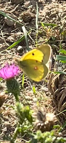
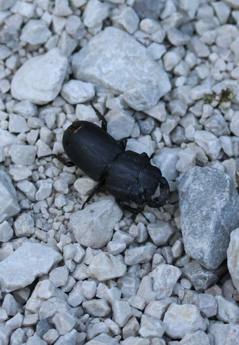



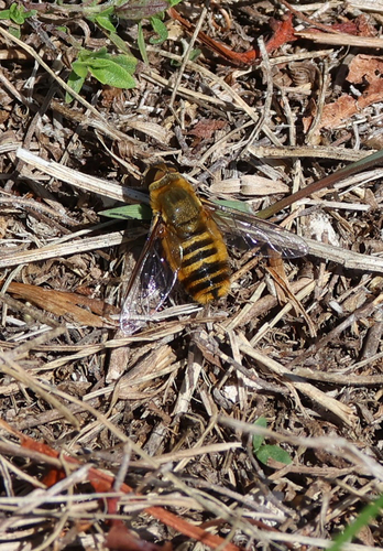
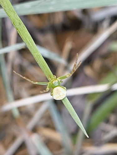
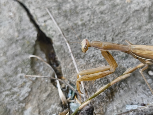
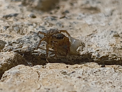
Research-grade observations from iNaturalist (within ~15 mi).
Events
Gallery
Sources
- • Wikipedia
- • Wikidata
- • USGS Earthquake Catalog (global feed)
- • iNaturalist
- • Open-Meteo / sunrise-sunset.org
- • Wikipedia Pageviews API
- • Open Library