Browse / Slovakia / Trenčín / Partizánske
Partizánske
Trenčíntown

Partizánske
Total population
24,335
Demographic figures from Statistical Office of Slovakia. Overview below cites Wikipedia and may reference a different year.
City facts
Facts from Wikidata (CC0).
Overview
Partizánske is a town in Trenčín Region, Slovakia.
Read more on WikipediaHistory & geography
History
Partizánske is a young town. Its history starts in 1938–1939, when Jan Antonín Baťa of Zlín and his powerful network of companies built a shoe factory in the cadastral area of Šimonovany municipality. The newly created settlement for workers carried the name of Baťovany and was part of Šimonovany. With the growth of the factory, so grew the settlement. The whole municipality was renamed to Baťovany in 1948 and given town status. As a sign of recognition of local inhabitants fighting in the Slovak National Uprising, the town was renamed Partizánske on 9 February 1949. The factory was renamed by communists to Závody 29. augusta (29 August works), and it produced 30 million pairs of shoes and employed around 10,000 people. However, after a failed privatisation in the 1990s, only a fraction is left now.
Geography
Partizánske is located in the northern part of the Danubian Hills around from Nitra and from the capital Bratislava, at the confluence of the Nitra and Nitrica rivers, near the Tribeč mountains. The old village of Veľké Bielice is now part of Partizánske.
Excerpted from the corresponding Wikipedia article (CC BY-SA).
Geography
Coordinates & boundaries from the US Census TIGER/Line shapefiles.
Climate
Air quality
Walkability
Amenities nearby
Wildlife & biodiversity
Most-observed species
- Eurasian BlackbirdTurdus merula Linnaeus, 1758 · Aves166
- Cornelian-cherryCornus mas L. · Magnoliopsida161
- Wild PrivetLigustrum vulgare L. · Magnoliopsida155
- Cypress SpurgeEuphorbia cyparissias L. · Magnoliopsida151
- HornbeamCarpinus betulus L. · Magnoliopsida148
- BeechFagus sylvatica L. · Magnoliopsida144
- Great TitParus major Linnaeus, 1758 · Aves141
- Field MapleAcer campestre L. · Magnoliopsida138
Citizen-science & research observations from the Global Biodiversity Information Facility (GBIF).
Earthquake history
Most recent
- M 3.9 — 2026-02-2111 km ESE of Šamorín, Slovakia
- M 2.8 — 2018-08-171 km ENE of Tren?ianske Teplice, Slovakia
- M 4 — 2014-01-194 km ESE of Balassagyarmat, Hungary
- M 4.1 — 2013-06-054 km NE of Érsekvadkert, Hungary
- M 3.6 — 2006-03-135 km NNW of Leopoldov, Slovakia
- M 3.1 — 2006-03-093 km SSW of Tren?ianske Teplice, Slovakia
Events from the USGS Earthquake Catalog (global) (FDSN Event Web Service).
Photos
Sights & places nearby
Notable people from here


People born within ~10 km, from Wikidata (CC0). Click any name for their Wikipedia article.
Nearby places in Trenčín
- Malé Uherce1.5 mi away · pop. 710
- Brodzany1.8 mi away · pop. 815
- Veľké Kršteňany2.3 mi away · pop. 622
- Skačany2.4 mi away · pop. 1,278
- Malé Kršteňany2.7 mi away · pop. 508
- Pažiť2.9 mi away · pop. 408
- Žabokreky nad Nitrou3.2 mi away · pop. 1,692
- Veľké Uherce3.2 mi away · pop. 1,990
- Kolačno3.4 mi away · pop. 845
- Krásno3.5 mi away · pop. 506
- Nedašovce3.9 mi away · pop. 431
- Turčianky3.9 mi away · pop. 152
Geography & sun
Elevation, sunrise/sunset and daylight from Open-Meteo. Solar climatology from NASA POWER.
Nearby airports
Public attention
Pageview totals from the Wikimedia Pageviews API.
Books about this place
Recent natural events nearby
Ground air-quality sensors
Recently spotted species
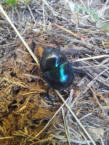
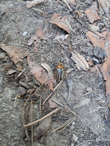
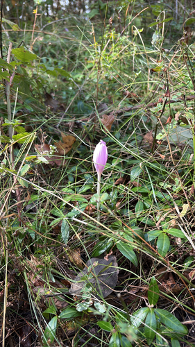
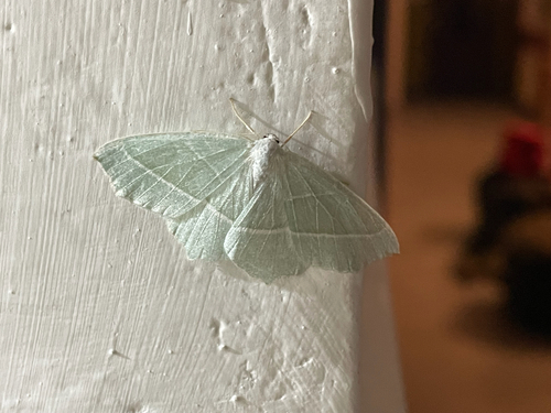
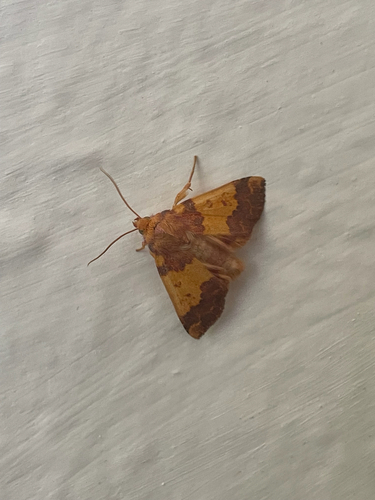
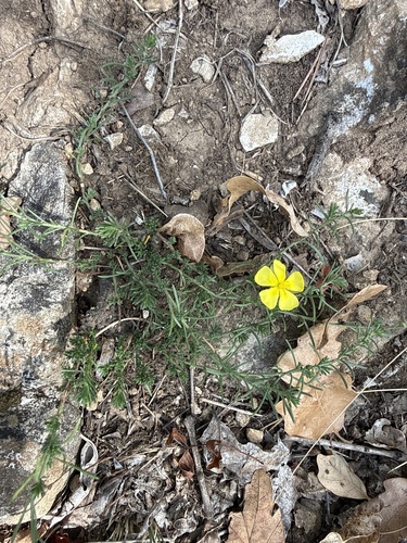
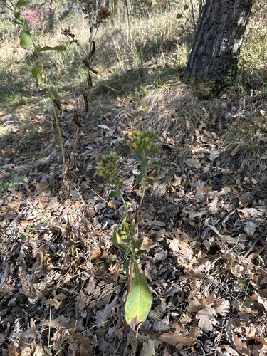
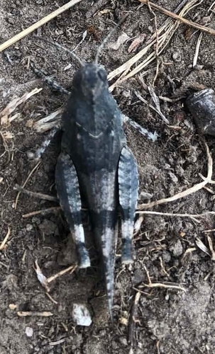
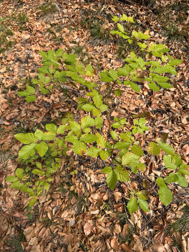
Research-grade observations from iNaturalist (within ~15 mi).
Events
Gallery
Sources
- • Wikipedia
- • Wikidata
- • USGS Earthquake Catalog (global feed)
- • GBIF (Global Biodiversity Information Facility)
- • iNaturalist
- • Open-Meteo / sunrise-sunset.org
- • Wikipedia Pageviews API