Browse / Slovakia / Trnava / Piešťany
Piešťany
Trnavatown

Piešťany
Total population
29,587
Founded
1113
Demographic figures from Statistical Office of Slovakia. Overview below cites Wikipedia and may reference a different year.
City facts
Sister cities
Facts from Wikidata (CC0).
Overview
Piešťany is a town in Slovakia. It is located in the western part of the country within the Trnava Region and is the seat of its own district. It is the biggest and best-known spa town in Slovakia, and has around 28,000 inhabitants.
Read more on WikipediaHistory & geography
History
The first human settlement in the area dates from the prehistoric times, about 80,000 years ago. People were attracted to the site by the abundance of game in the vicinity of the thermal springs that did not freeze in winter. A small female statue representing female fertility called Venus of Moravany was found in the nearby village Moravany nad Váhom. It is made of mammoth ivory and is dated to 22,800 BC. It currently resides in the Bratislava Castle museum. In another nearby village, Krakovany-Stráže, a treasure consisting of luxury items made of glass, bronze, silver, and gold was discovered in three graves from 200 to 300 AD. The surroundings of Piešťany also include the Great Moravian castle of Ducové. Piešťany was first mentioned in written records in 1113 (as "Pescan"). At that time, it consisted of several smaller settlements. The medicinal springs were already popular in the Middle Ages. They were visited by the Hungarian king Matthias Corvinus. The first book mentioning the Piešťany springs was De admirandis Hungariae aquis hypomnemation (About the Miraculous Waters of the Hungarian Monarchy) by Georgius Wernher, published in 1549 in Basel. In the 16th century, the Piešťany spa was also mentioned by two prominent physicians, Johann Crato de Crafheim (who served several Holy Roman Emperors) and (a personal surgeon of the Pope). The first monograph (Schediasma de Thermis Postheinsibus by was published in 1745. But in the 16th and 17th centuries, Piešťany also suffered from Turkish raids and anti-Habsburg uprisings. Throughout the centuries, Piešťany was owned by several noble families; the last of them, the Erdődys, owned the area from 1720 to 1848, and the spa until 1940. The Erdődy family built the first spa buildings in 1778. They were damaged by a…
Geography
Piešťany is situated in the western part of Slovakia, in the valley of the Váh river. The Považský Inovec mountains form the eastern boundary of this part of the Váh valley. The highest hill of these mountains, Inovec , is about north of the town. The hills immediately east of the town ( away) reach a height of about . On the western side, the valley boundary is formed by the Little Carpathians, which are somewhat lower and further away from the town. The valley is open to the south, and thus has a warm and sunny temperate climate. Most of the town is located on the right bank of the river. South of the town is the water reservoir created by a dam on the Váh river. The artificial canal and the main river branch join in the town. Another short branch of the river (Obtokové rameno) creates the Spa Island. The hills of Považský Inovec are mostly covered with deciduous forests. These consist of oak and hornbeam in the lower elevations, and beech in the higher elevations. The Váh valley is used for agriculture. The main products are cereals, sugar beet, animal feed, and pork. Piešťany is located north-east of Bratislava, the capital of Slovakia, and north-east of the local regional seat Trnava. Upstream from Piešťany on the Váh river are the towns Nové Mesto nad Váhom ( north of Piešťany) and Trenčín ( north-east); downstream is Hlohovec. Piešťany is located on the route of the D1 motorway from Bratislava to Žilina with connections to Vienna and Brno. The main railway route from Bratislava to Žilina and Košice also goes through the town. The town has an airport, mostly used for international charter flights for spa clients (10,000 passengers in 2007). The municipality operates a local public transport system with 11 bus routes ().
Excerpted from the corresponding Wikipedia article (CC BY-SA).
Geography
Coordinates & boundaries from the US Census TIGER/Line shapefiles.
Climate
Air quality
Walkability
Amenities nearby
Wildlife & biodiversity
Earthquake history
Photos
Sights & places nearby
Notable people from here


People born within ~10 km, from Wikidata (CC0). Click any name for their Wikipedia article.
Geography & sun
Elevation, sunrise/sunset and daylight from Open-Meteo. Solar climatology from NASA POWER.
Nearby airports
Public attention
Pageview totals from the Wikimedia Pageviews API.
Books about this place
Recent natural events nearby
Ground air-quality sensors
Recently spotted species
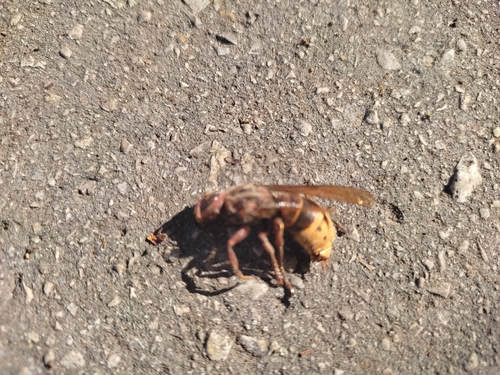
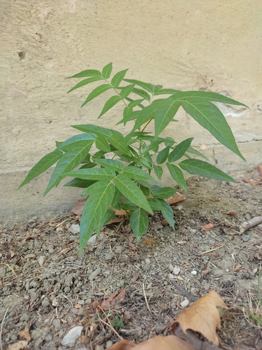
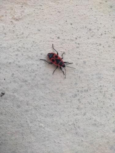
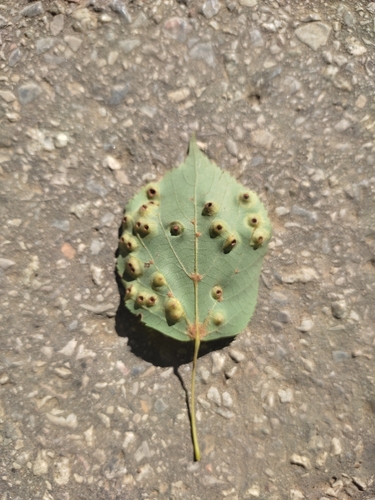
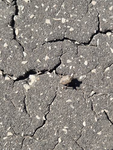
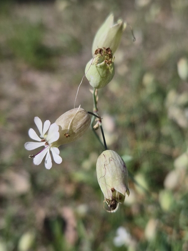
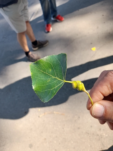
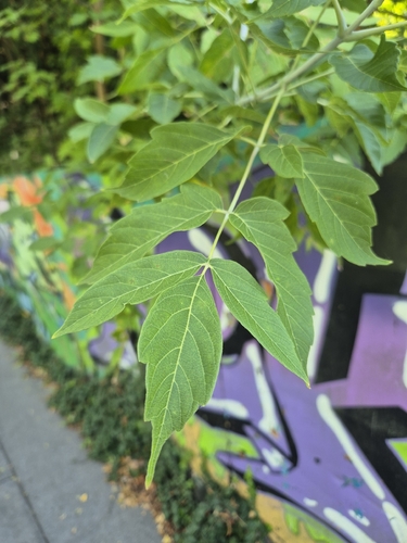
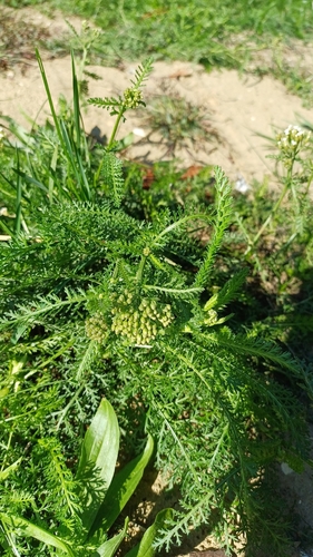
Research-grade observations from iNaturalist (within ~15 mi).
Events
Gallery
Sources
- • Wikipedia
- • Wikidata
- • iNaturalist
- • Open-Meteo / sunrise-sunset.org
- • Wikipedia Pageviews API