Browse / Slovakia / Trenčín / Pobedim
Pobedim
Trenčínvillage

Pobedim
Total population
1,217
Founded
1355
Demographic figures from Statistical Office of Slovakia. Overview below cites Wikipedia and may reference a different year.
City facts
Facts from Wikidata (CC0).
Overview
Pobedim is a village and municipality in Nové Mesto nad Váhom District in the Trenčín Region of western Slovakia. A Slavic hill fort from the pre-Great Moravian period has been uncovered in the locality Hradištia. The hill fort belongs to Early Medieval sites with the highest number of artifacts found in Slovakia.
Read more on WikipediaHistory & geography
History
The village was first mentioned in 1392, but the area was occasionally inhabited from the Late Stone Age. The settlement is documented also from the Early Bronze Age and especially in the Late Bronze Age. The people of Lusatian culture built their settlement in the local swamps and left numerous artifacts (cultic artifacts, metallurgical tools, fragments of bronze, ceramics, etc.). The area was then settled by the Celts. In the Roman period, it was more or less uninhabited and only one finding is known from the Migration period. The locality had been intensively colonized by the Slavs at the end of the 5th and in the 6th century (localities Horné Pole and Dolné Pole). The Slavic hill fort was built at the end of the 8th century and was destroyed for the first time at the end of the first third the 9th century. The destruction of the hill fort is usually associated with the unification of the Principality of Nitra and the Principality of Moravia (the attack of Mojmír's army or Pribina's attack preceding his expulsion, depending on principality to which is Pobedim attributed; neither destruction during other internal conflict related to integration processes of the Slavs cannot be excluded). Radiocarbon dating indices that construction activities were realized also in the turnover of the 9th/10th century. The hill fort consists of two parts, probably not built at once. The whole hill fort was protected by 3 meters high wall with a palisade on top and external ditch. An archeological research uncovered 114 graves from the Early Middle Ages, residential buildings, outbuildings, workshops and in particular, one of the largest collection of ceramics from the 9th century in Slovakia. Twenty large metal depots contained hundreds of old Slavic hrivnas (semifinished iron…
Excerpted from the corresponding Wikipedia article (CC BY-SA).
Geography
Coordinates & boundaries from the US Census TIGER/Line shapefiles.
Climate
Air quality
Walkability
Amenities nearby
Wildlife & biodiversity
Most-observed species
- Eurasian BlackbirdTurdus merula Linnaeus, 1758 · Aves594
- Great TitParus major Linnaeus, 1758 · Aves523
- Great Spotted WoodpeckerDendrocopos major (Linnaeus, 1758) · Aves415
- European GoldfinchCarduelis carduelis (Linnaeus, 1758) · Aves335
- Common Wood-PigeonColumba palumbus Linnaeus, 1758 · Aves321
- Eurasian Blue TitCyanistes caeruleus (Linnaeus, 1758) · Aves318
- Eurasian NuthatchSitta europaea Linnaeus, 1758 · Aves291
- Song ThrushTurdus philomelos C.L.Brehm, 1831 · Aves291
Citizen-science & research observations from the Global Biodiversity Information Facility (GBIF).
Earthquake history
Most recent
- M 3.9 — 2026-02-2111 km ESE of Šamorín, Slovakia
- M 2.8 — 2018-08-171 km ENE of Tren?ianske Teplice, Slovakia
- M 3.6 — 2006-03-135 km NNW of Leopoldov, Slovakia
- M 3.1 — 2006-03-093 km SSW of Tren?ianske Teplice, Slovakia
- M 3.5 — 2004-09-2312 km NNW of Dudince, Slovakia
- M 3 — 2003-09-199 km ENE of Smolenice, Slovakia
Events from the USGS Earthquake Catalog (global) (FDSN Event Web Service).
Photos
Sights & places nearby
Notable people from here


People born within ~10 km, from Wikidata (CC0). Click any name for their Wikipedia article.
Nearby places in Trenčín
- Očkov1.6 mi away · pop. 462
- Podolie2.1 mi away · pop. 2,033
- Horná Streda2.2 mi away · pop. 1,256
- Častkovce2.9 mi away · pop. 1,036
- Brunovce2.9 mi away · pop. 557
- Potvorice3.5 mi away · pop. 575
- Lúka3.6 mi away · pop. 594
- Modrovka3.8 mi away · pop. 221
- Modrová4.4 mi away · pop. 503
- Čachtice4.5 mi away · pop. 3,691
- Považany4.5 mi away · pop. 1,322
- Hrádok5 mi away · pop. 620
Geography & sun
Elevation, sunrise/sunset and daylight from Open-Meteo. Solar climatology from NASA POWER.
Nearby airports
Public attention
Pageview totals from the Wikimedia Pageviews API.
Books about this place
Recent natural events nearby
Ground air-quality sensors
Recently spotted species
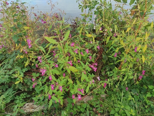
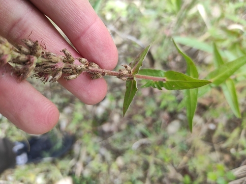
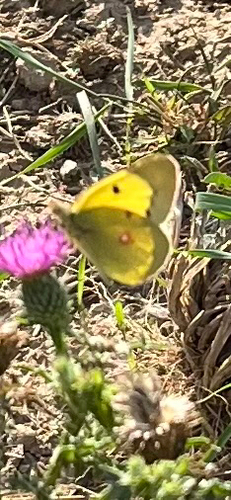
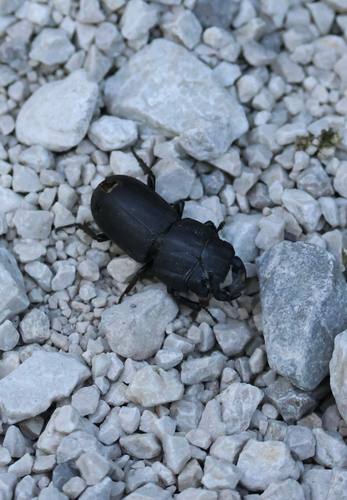
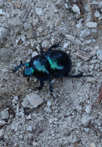
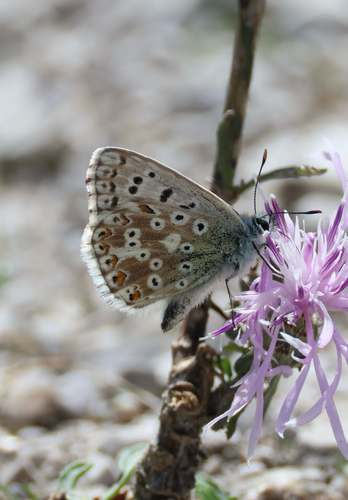
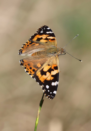
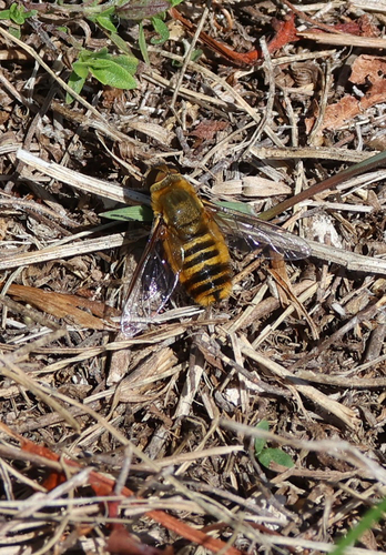
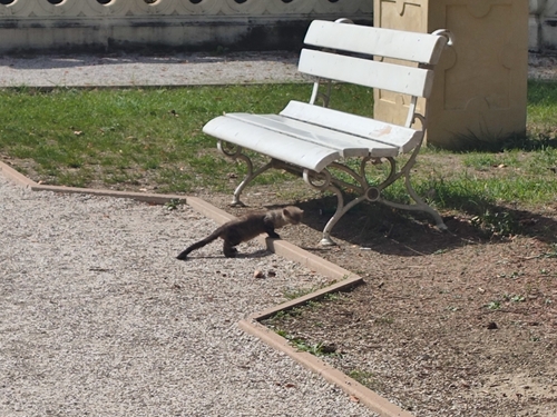
Research-grade observations from iNaturalist (within ~15 mi).
Events
Gallery
Sources
- • Wikipedia
- • Wikidata
- • USGS Earthquake Catalog (global feed)
- • GBIF (Global Biodiversity Information Facility)
- • iNaturalist
- • Open-Elevation
- • Open-Meteo / sunrise-sunset.org
- • Wikipedia Pageviews API